width HONDA CIVIC COUPE 2015 9.G Navigation Manual
[x] Cancel search | Manufacturer: HONDA, Model Year: 2015, Model line: CIVIC COUPE, Model: HONDA CIVIC COUPE 2015 9.GPages: 253, PDF Size: 8.81 MB
Page 17 of 253

16
Quick Reference GuideTroubleshootingFor more Information (P205)
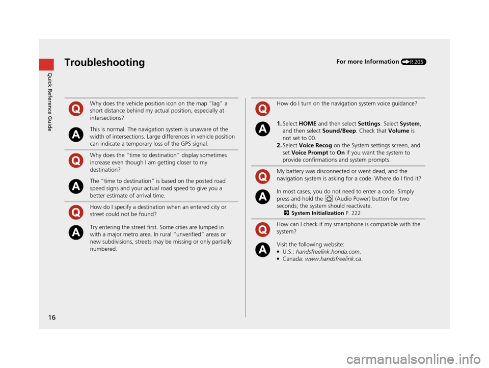
Why does the vehicle position icon on the map “lag” a
short distance behind my actual position, especially at
intersections?
This is normal. The navigation system is unaware of the
width of intersections. Large differences in vehicle position
can indicate a temporary loss of the GPS signal.
Why does the “time to destination” display sometimes
increase even though I am getting closer to my
destination?
The “time to destination” is based on the posted road
speed signs and your actual road speed to give you a
better estimate of arrival time.
How do I specify a destination when an entered city or
street could not be found?
Try entering the street first. Some cities are lumped in
with a major metro area. In rural “unverified” areas or
new subdivisions, streets may be missing or only partially
numbered.
How do I turn on the navigation system voice guidance?
1.Select HOME and then select Settings. Select System ,
and then select Sound/Beep. Check that Volume is
not set to 00.
2.Select Voice Recog on the System se ttings screen, and
set Voice Prompt to On if you want the system to
provide confirmations and system prompts.
My battery was disconnected or went dead, and the
navigation system is asking for a code. Where do I find it?
In most cases, you do not need to enter a code. Simply
press and hold the (Audio Power) button for two
seconds; the system should reactivate.
2 System Initialization P. 222
How can I check if my smartphone is compatible with the
system?
Visit the following website:●U.S.: handsfreelink.honda.com.●Canada: www.handsfreelink.ca .
15 CIVIC NAVI-31TR38300.book 16 ページ 2014年8月7日 木曜日 午前11時49分
Page 211 of 253

210
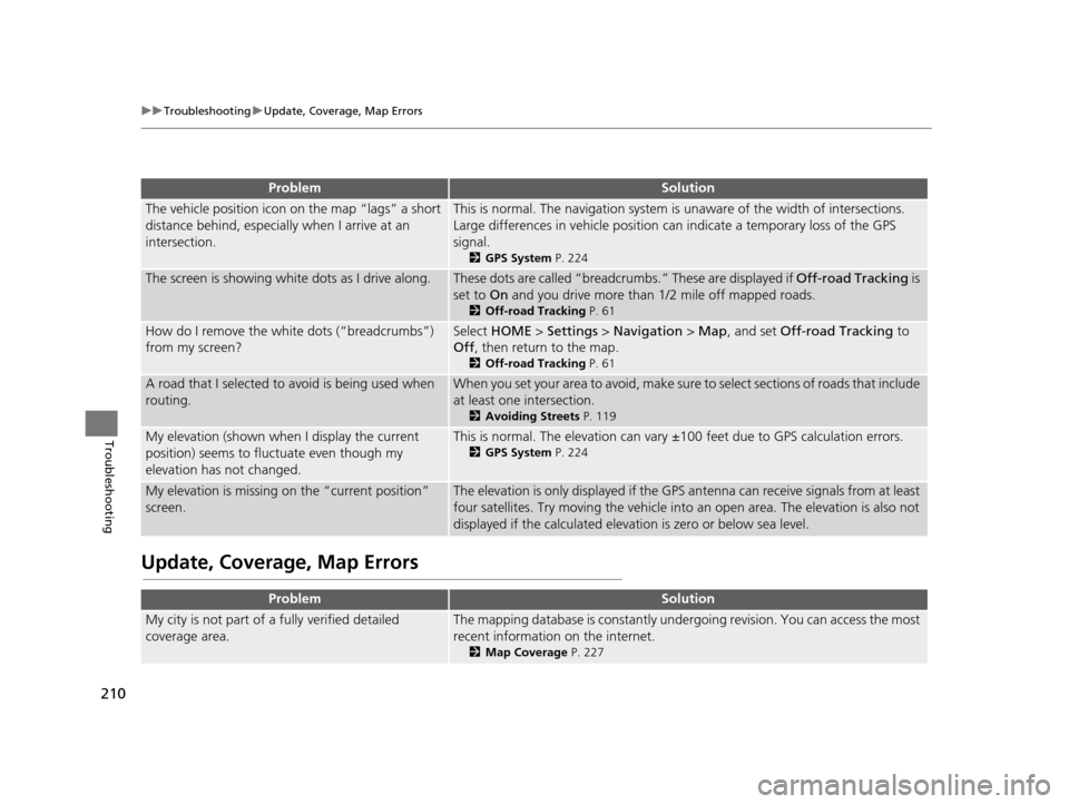
uuTroubleshooting uUpdate, Coverage, Map Errors
Troubleshooting
Update, Coverage, Map Error s
ProblemSolution
The vehicle position icon on the map “lags” a short
distance behind, especially when I arrive at an
intersection.This is normal. The navigation system is unaware of the width of intersections.
Large differences in vehicle position ca n indicate a temporary loss of the GPS
signal.
2 GPS System P. 224
The screen is showing wh ite dots as I drive along.These dots are called “breadcr umbs.” These are displayed if Off-road Tracking is
set to On and you drive more than 1/2 mile off mapped roads.
2Off-road Tracking P. 61
How do I remove the white dots (“breadcrumbs”)
from my screen?Select HOME > Settings > Navigation > Map, and set Off-road Tracking to
Off , then return to the map.
2Off-road Tracking P. 61
A road that I selected to avoid is being used when
routing.When you set your area to avoid, make sure to select sections of roads that include
at least one intersection.
2 Avoiding Street s P. 119
My elevation (shown when I display the current
position) seems to fluc tuate even though my
elevation has not changed.This is normal. The elevation can vary ±100 feet due to GPS calculation errors.
2GPS System P. 224
My elevation is missing on the “current position”
screen.The elevation is only displayed if the GPS antenna can receive signals from at least
four satellites. Try moving the vehicle into an open area. The elevation is also not
displayed if the calculated elevation is zero or below sea level.
ProblemSolution
My city is not part of a fully verified detailed
coverage area.The mapping database is constantly under going revision. You can access the most
recent information on the internet.
2 Map Coverage P. 227
15 CIVIC NAVI-31TR38300.book 210 ページ 2014年8月7日 木曜日 午前11時49分
Page 226 of 253

225
uuSystem Limitations uDatabase
Reference Information
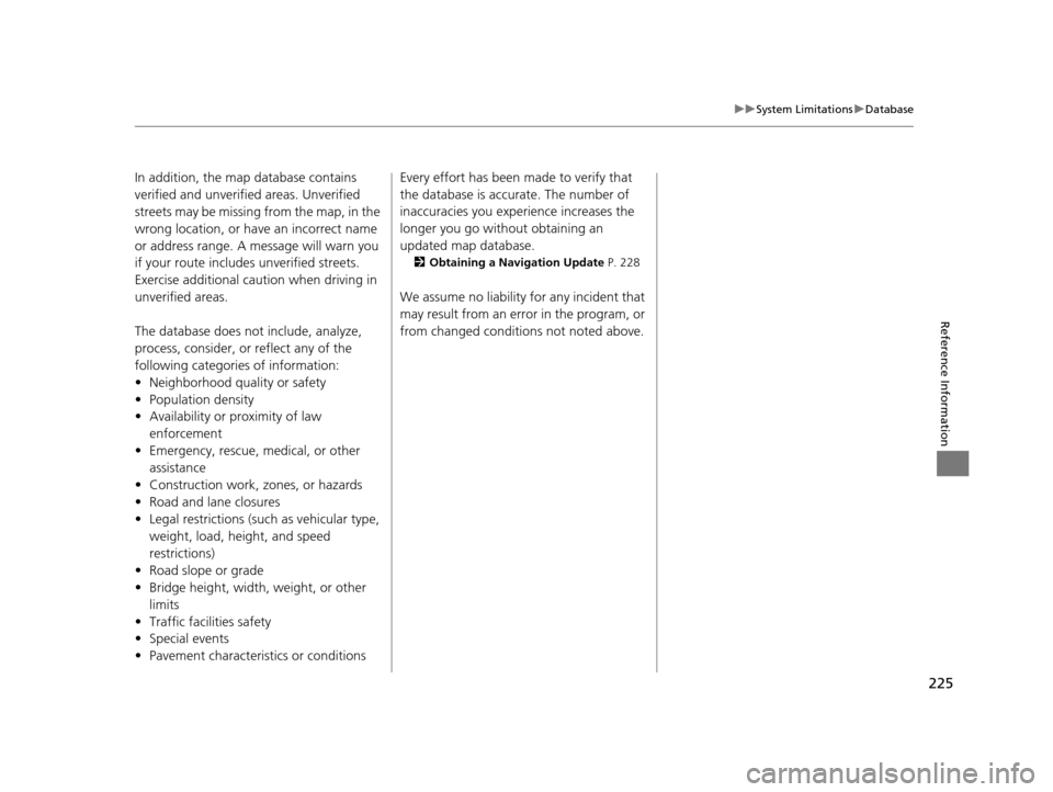
In addition, the map database contains
verified and unverified areas. Unverified
streets may be missing from the map, in the
wrong location, or have an incorrect name
or address range. A message will warn you
if your route includes unverified streets.
Exercise additional caution when driving in
unverified areas.
The database does no t include, analyze,
process, consider, or reflect any of the
following categories of information:
• Neighborhood quality or safety
• Population density
• Availability or proximity of law enforcement
• Emergency, rescue, medical, or other assistance
• Construction work, zones, or hazards
• Road and lane closures
• Legal restrictions (such as vehicular type, weight, load, height, and speed
restrictions)
• Road slope or grade
• Bridge height, width, weight, or other
limits
• Traffic facilities safety
• Special events
• Pavement characteristics or conditions Every effort has been made to verify that
the database is accurate. The number of
inaccuracies you expe
rience increases the
longer you go without obtaining an
updated map database.
2 Obtaining a Navigation Update P. 228
We assume no liability for any incident that
may result from an error in the program, or
from changed conditions not noted above.
15 CIVIC NAVI-31TR38300.book 225 ページ 2014年8月7日 木曜日 午前11時49分