sat nav KIA SORENTO 2014 Navigation System Quick Reference Guide
[x] Cancel search | Manufacturer: KIA, Model Year: 2014, Model line: SORENTO, Model: KIA SORENTO 2014Pages: 236, PDF Size: 7.61 MB
Page 16 of 236

1-4
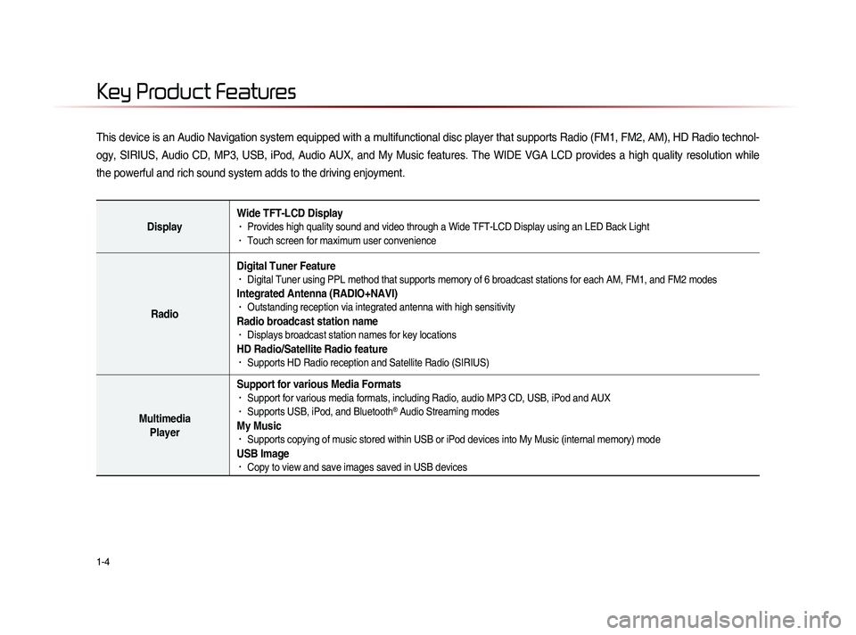
This device is an Audio Navigation system equipped with a multifunctional disc player that supports Radio (FM1, FM2, AM), HD Radio technol-
ogy, SIRIUS, Audio CD, MP3, USB, iPod, Audio AUX, and My Music features. The WIDE VGA LCD provides a high quality resolution while
the powerful and rich sound system adds to the driving enjoyment.
DisplayWide TFT-LCD Display• Provides high quality sound and video through a Wide TFT-LCD Display using an LED Back Light• Touch screen for maximum user convenience
RadioDigital Tuner Feature
• Digital Tuner using PPL method that supports memory of 6 broadcast stations for each AM, FM1, and FM2 modes
Integrated Antenna (RADIO+NAVI)• Outstanding reception via integrated antenna with high sensitivity
Radio broadcast station name• Displays broadcast station names for key locations
HD Radio/Satellite Radio feature• Supports HD Radio reception and Satellite Radio (SIRIUS)
Multimedia
Player Support for various Media Formats
• Support for various media formats, including Radio, audio MP3 CD, USB, iPod and AUX• Supports USB, iPod, and Bluetooth® Audio Streaming modes
My Music • Supports copying of music stored within USB or iPod devices into My Music (internal memory) mode
USB Image• Copy to view and save images saved in USB devices
Key Product Features
Page 84 of 236

3-2
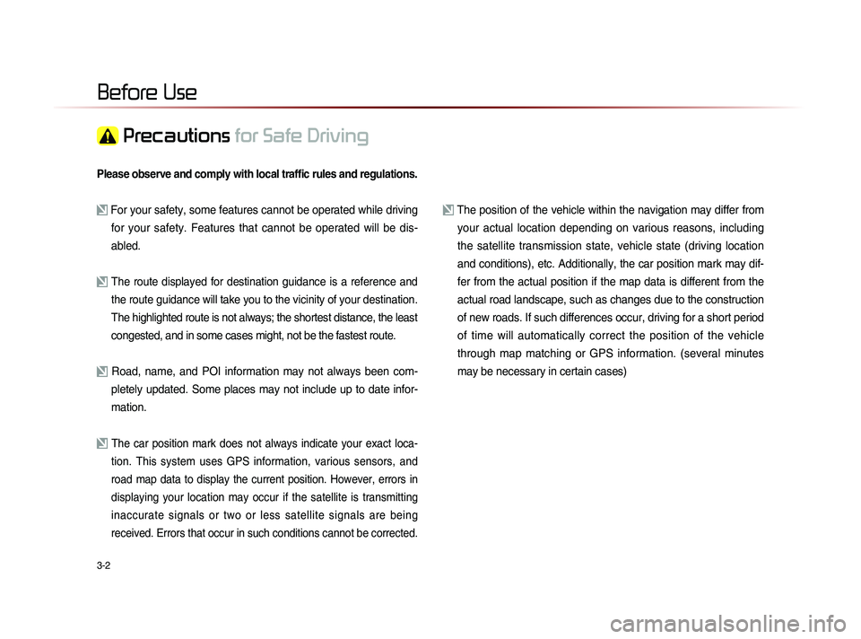
Please observe and comply with local traffic rules and regulations.
For your safety, some features cannot be operated while driving for your safety. Features that cannot be operated will be dis-
abled.
The route displayed for destination guidance is a reference and
the route guidance will take you to the vicinity of your destination
.
The highlighted route is not always; the shortest distance, the least
congested, and in some cases might, not be the fastest route.
Road, name, and POI information may not always been com- pletely updated. Some places may not include up to date infor-
mation.
The car position mark does not always indicate your exact loca-
tion. This system uses GPS information, various sensors, and
road map data to display the current position. However, errors in
displaying your location may occur if the satellite is transmitting
inaccurate signals or two or less satellite signals are being
received. Errors that occur in such conditions cannot be corrected.
The position of the vehicle within the navigation may differ from your actual location depending on various reasons, including
the satellite transmission state, vehicle state (driving location
and conditions), etc. Additionally, the car position mark may dif-
fer from the actual position if the map data is different from the
actual road landscape, such as changes due to the construction
of new roads. If such differences occur, driving for a short period
of time will automatically correct the position of the vehicle
through map matching or GPS information. (several minutes
may be necessary in certain cases)
Before Use
Precautions for Safe Driving
Page 88 of 236

3-6
About GPS
GPS (Global Positioning System) :
GPS is a system developed and operated
by the United States which determines the
current location of the user (Longitude/
Latitude, Coordinates, etc.) by generally
using 4 or more satellites. This system is
used with related GPS information, various
sensors, road map data, and other related
information for the purposes of navigation.
For more information on GPS, refer to Part
6 ‘GPS Information’.
Before Use
Page 144 of 236

5-2
Using Voice Recognition
Using Voice Recognition
Creating a suitable cabin environment
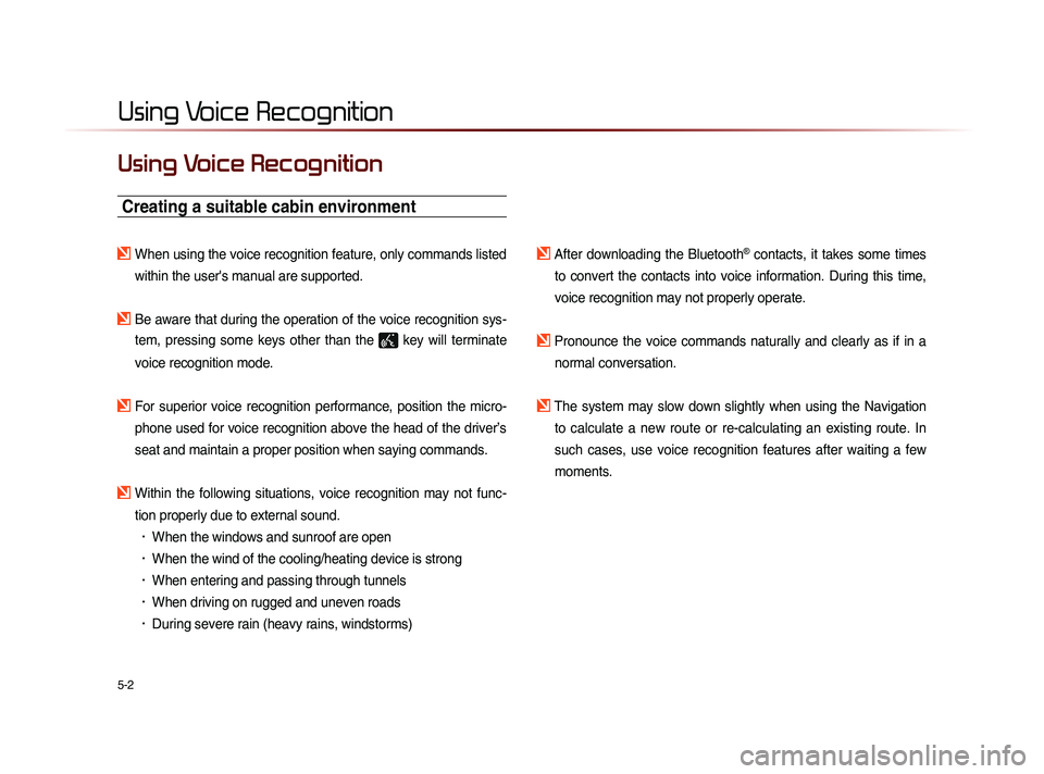
When using the voice recognition feature, only commands listed within the user's manual are supported.
Be aware that during the operation of the voice recognition sys-tem, pressing some keys other than the
key will terminate
voice recognition mode.
For superior voice recognition performance, position the micro- phone used for voice recognition above the head of the driver’s
seat and maintain a proper position when saying commands.
Within the following situations, voice recognition may not func-tion properly due to external sound.
• When the windows and sunroof are open
• When the wind of the cooling/heating device is strong
• When entering and passing through tunnels
• When driving on rugged and uneven roads
• During severe rain (heavy rains, windstorms)
After downloading the Bluetooth® contacts, it takes some times
to convert the contacts into voice information. During this time,
voice recognition may not properly operate.
Pronounce the voice commands naturally and clearly as if in a normal conversation.
The system may slow down slightly when using the Navigation to calculate a new route or re-calculating an existing route. In
such cases, use voice recognition features after waiting a few
moments.
Page 176 of 236

6-16
About GPS (Global Po-
sitioning System)
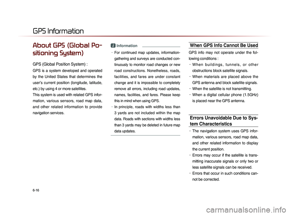
GPS (Global Position System) :
GPS is a system developed and operated
by the United States that determines the
user’s current position (longitude, latitude,
etc.) by using 4 or more satellites.
This system is used with related GPS infor-
mation, various sensors, road map data,
and other related information to provide
navigation services.
i Information
• For continued map updates, information-
gathering and surveys are conducted con-
tinuously to monitor road changes or new
road constructions. Nonetheless, roads,
facilities, and fares are under constant
change and it is impossible to completely
remove all errors, including road updates,
names, facilities, and fares. Please keep
this in mind when using GPS.
• In principle, roads with widths less than
3 yards are not included within the map
data. Roads with sections with widths less
than 3 yards may be deleted in future map
data updates.
When GPS Info Cannot Be Used
GPS info may not operate under the fol-
lowing conditions :
• W h e n b u i l d i n g s , t u n n e l s , o r o t h e r
obstructions block satellite signals.
• When materials are placed above the
GPS antenna and block satellite signals.
• When the satellite is not transmitting.
• When a digital cellular phone (1.5GHz)
is placed near the GPS antenna.
Errors Unavoidable Due to Sys-
tem Characteristics
• The navigation system uses GPS infor-
mation, various sensors, road map data,
and other related information to display
the current position.
• Errors may occur if the satellite is trans-
mitting inaccurate signals or only two or
less satellite signals can be received.
• Errors that occur in such conditions can-
not be corrected.
GPS Information