engine NISSAN PATHFINDER 2008 R51 / 3.G 06IT Navigation Manual
[x] Cancel search | Manufacturer: NISSAN, Model Year: 2008, Model line: PATHFINDER, Model: NISSAN PATHFINDER 2008 R51 / 3.GPages: 217, PDF Size: 6.62 MB
Page 4 of 217

Black plate (5,1)
Model "NAV2-N" EDITED: 2007/ 3/ 9
This system is primarily designed to help you
reach your destination, and it also performs
other functions as outlined in this manual.
However, you, the driver, must use the system
safely and properly. Information concerning road
conditions, traffic signs and the availability of
services may not always be up-to-date. The
system is not a substitute for safe, proper and
legal driving.
Before using the navigation system, please read
the following safety information. Always use the
system as outlined in this manual.
WARNING
.When the driver wants to operate
the navigation system or use the
multi-function controller, first park
the vehicle in a safe location and
set the parking brake. Operating
the system while driving can dis-
tract the driver and may result in a
serious accident.
.Do not rely on route guidance
alone. Always be sure that all
driving maneuvers are legal and
safe in order to avoid accidents.
.Do not disassemble or modify thissystem. If you do, it may result in
accidents, fire or electrical shock.
.If you notice any foreign objects in
the system hardware, spill liquid on
the system or notice smoke or a
smell coming from it, stop using the
system immediately and contact a
NISSAN dealer. Ignoring such con-
ditions may lead to accidents, fire
or electrical shock.
CAUTION
.Do not use this system if you notice
any malfunctions such as a frozen
screen or the lack of sound. Con-
tinued use of the system may result
in accidents, fire or electrical shock.
.Some states/provinces may have
laws limiting the use of video
screens while driving. Use this
system only where it is legal to do
so.
.Extreme temperature conditions
[below−48F(−208C) and above
1588F (708C)] could affect the per-
formance of the system.
NOTE:
Do not keep the navigation system running
with the engine stopped. Doing so may
discharge the vehicle battery. When you
use the navigation system, always keep
the engine running.
SAFETY INFORMATION
Introduction1-3
Page 182 of 217

Black plate (189,1)
Model "NAV2-N" EDITED: 2007/ 3/ 9
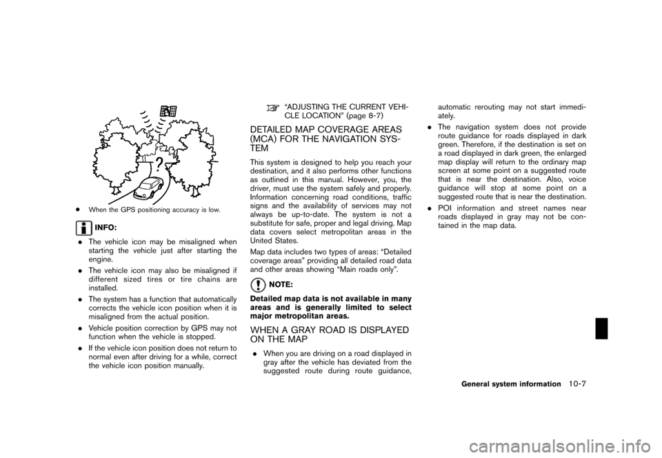
*When the GPS positioning accuracy is low.
INFO:
.The vehicle icon may be misaligned when
starting the vehicle just after starting the
engine.
.The vehicle icon may also be misaligned if
different sized tires or tire chains are
installed.
.The system has a function that automatically
corrects the vehicle icon position when it is
misaligned from the actual position.
.Vehicle position correction by GPS may not
function when the vehicle is stopped.
.If the vehicle icon position does not return to
normal even after driving for a while, correct
the vehicle icon position manually.
“ADJUSTING THE CURRENT VEHI-
CLE LOCATION” (page 8-7)
DETAILED MAP COVERAGE AREAS
(MCA) FOR THE NAVIGATION SYS-
TEM
This system is designed to help you reach your
destination, and it also performs other functions
as outlined in this manual. However, you, the
driver, must use the system safely and properly.
Information concerning road conditions, traffic
signs and the availability of services may not
always be up-to-date. The system is not a
substitute for safe, proper and legal driving. Map
data covers select metropolitan areas in the
United States.
Map data includes two types of areas: “Detailed
coverage areas” providing all detailed road data
and other areas showing “Main roads only”.
NOTE:
Detailed map data is not available in many
areas and is generally limited to select
major metropolitan areas.
WHEN A GRAY ROAD IS DISPLAYED
ON THE MAP
.When you are driving on a road displayed in
gray after the vehicle has deviated from the
suggested route during route guidance,automatic rerouting may not start immedi-
ately.
.The navigation system does not provide
route guidance for roads displayed in dark
green. Therefore, if the destination is set on
a road displayed in dark green, the enlarged
map display will return to the ordinary map
screen at some point on a suggested route
that is near the destination. Also, voice
guidance will stop at some point on a
suggested route that is near the destination.
.POI information and street names near
roads displayed in gray may not be con-
tained in the map data.
General system information10-7
Page 191 of 217

Black plate (198,1)
Model "NAV2-N" EDITED: 2007/ 3/ 9
road conditions. Always rely on your own
judgement when driving a car, taking into
account current driving conditions.
“The company trademarks used in this product
to identify locations and business offices are the
trademarks of their respective owners. Their use
does not represent sponsorship, approval or
recommendation of this product by these
companies.”
END-USER TERMS
The data (“Data”) is provided for your personal,
internal use only and not for resale. It is
protected by copyright, and is subject to the
following terms and conditions which are agreed
to by you, on the one hand, and ZENRIN CO.,
LTD. (“ZENRIN CO., LTD.”) and its licensors
(including their licensors and suppliers) on the
other hand.
*C2006 NAVTEQ [Insert any applicable copy-
right notices as required for the country-specific
Data being used]. All rights reserved.
The Data for areas of Canada includes informa-
tion taken with permission from Canadian
authorities, including:
*CHer Majesty the Queen
in Right of Canada,
*CQueen’s Printer for Ontario,*CCanada Post
Corporation, GeoBase®.
NAVTEQ holds a non-exclusive license from theUnited States Postal Service
®to publish and sell
ZIP+4®information.
*CUnited States Postal Service®2005. Prices
are not established, controlled or approved by
the United States Postal Service
®. The following
trademarks and registrations are owned by the
USPS: United States Postal Service, USPS, and
ZIP+4.
Terms and conditions
Personal Use Only. You agree to use this Data
together with Nissan Automotive Products for
the solely personal, non-commercial purposes
for which you were licensed, and not for service
bureau, time-sharing or other similar purposes.
Accordingly, but subject to the restrictions set
forth in the following paragraphs, you may copy
this Data only as necessary for your personal
use to (i) view it, and (ii) save it, provided that
you do not remove any copyright notices that
appear and do not modify the Data in any way.
You agree not to otherwise reproduce, copy,
modify, decompile, disassemble or reverse
engineer any portion of this Data, and may not
transfer or distribute it in any form, for any
purpose, except to the extent permitted by
mandatory laws. Multi-disc sets may only be
transferredorsoldasacompletesetas
provided by ZENRIN CO., LTD. and not as a
subset thereof.
Restrictions. Except where you have been
specifically licensed to do so by ZENRIN CO.,
LTD. and without limiting the preceding para-
graph, you may not (a) use this Data with any
products, systems, or applications installed or
otherwise connected to or in communication
with vehicles, capable of vehicle navigation,
positioning, dispatch, real time route guidance,
fleet management or similar applications; or (b)
with or in communication with any positioning
devices or any mobile or wireless-connected
electronic or computer devices, including with-
out limitation cellular phones, palmtop and
handheld computers, pagers, and personal
digital assistants or PDAs.
Warning. The Data may contain inaccurate or
incomplete information due to the passage of
time, changing circumstances, sources used
and the nature of collecting comprehensive
geographic data, any of which may lead to
incorrect results.
No Warranty. This Data is provided to you “as
is,” and you agree to use it at your own risk.
ZENRIN CO., LTD. and its licensors (and their
licensors and suppliers) make no guarantees,
representations or warranties of any kind,
express or implied, arising by law or otherwise,
including but not limited to, content, quality,
accuracy, completeness, effectiveness, reliabil-
ity, fitness for a particular purpose, usefulness,
10-16General system information