light Seat Exeo 2012 MEDIA SYSTEM E
[x] Cancel search | Manufacturer: SEAT, Model Year: 2012, Model line: Exeo, Model: Seat Exeo 2012Pages: 167, PDF Size: 5.48 MB
Page 114 of 167

Navigation (NAV)*113
Operating
RADIO, MEDIA (audiovisual
systems)
NAME, TEL
NAV, INFO
CAR, SETUP
– Enter all required information fo r the route guidance. To do so,
you can use any of the various options described on
⇒ page 104.
–Select Start route guidance ⇒ page 112, fig. 132 ; the route will
be calculated and the map will be automatically displayed.
– Using the rotary pushbutton, select one of the available routes shown on the map (applies only to route without stopover)
⇒page 113, or
– Press the rotary pushbutton to select the suggested route on the map ⇒page 114.After the route has been calculated the navigation system will automatically
switch to the map display mode. Route guidance is shown in simplified form
on the instrument panel display ⇒page 101. You will also receive spoken
navigation information ⇒page 100.
When you have entered a single destination ⇒page 104 and started route
guidance, you will be offered up to three different routes to reach your desti-
nation ⇒page 113.
Once you have entered a route plan and started route guidance an overview
map will be displayed showing all stopovers and various information
regarding the route ⇒ page 114.
Entered destinations can be saved ⇒page 117 and ⇒page 118.
Route criteria ⇒page 121 can be changed at any time during guidance and
the route will be recalculated.
If you start a route guidance, but do not complete it, this guidance will be
continued automatically when you start driving again. This also applies to
entered destinations that were not reached due to unexpected circumstances
(e.g. change of plans). To end route guidance, select Stop route guidance
⇒ page 115.
Note
Calculated destinations can also be changed on the map display by moving
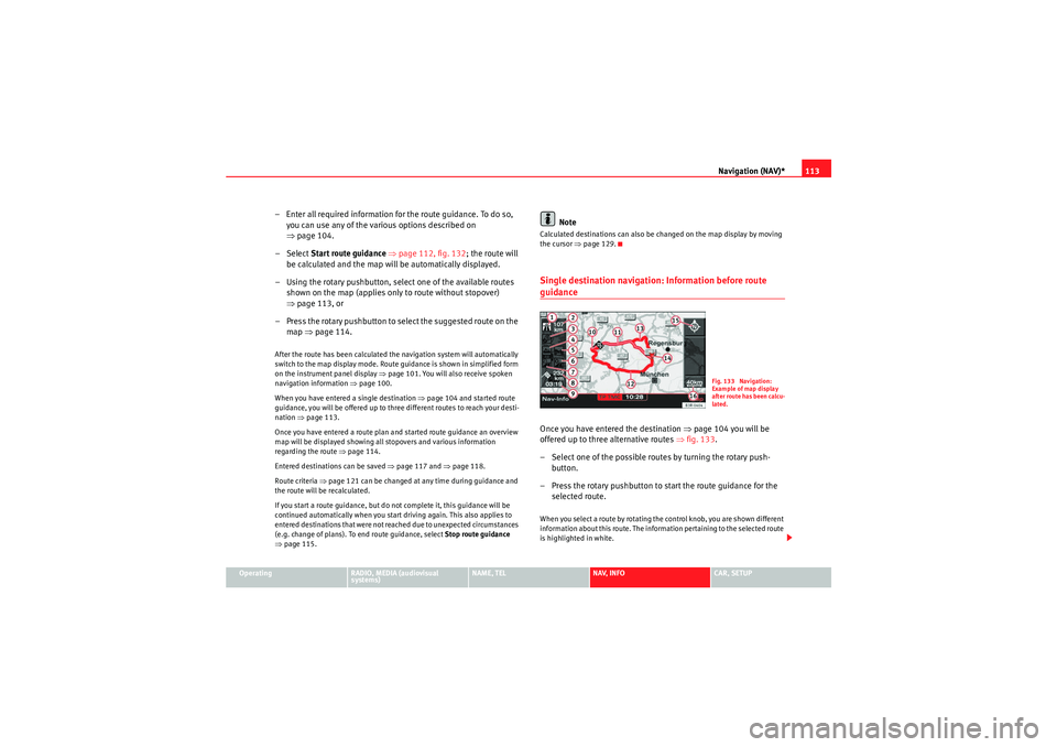
the cursor ⇒page 129.Single destination navigation: Information before route guidanceOnce you have entered the destination ⇒page 104 you will be
offered up to three alternative routes ⇒fig. 133 .
– Select one of the possible routes by turning the rotary push- button.
– Press the rotary pushbutton to start the route guidance for the selected route.When you select a route by rotating the control knob, you are shown different
information about this route. The information pertaining to the selected route
is highlighted in white.
Fig. 133 Navigation:
Example of map display
after route has been calcu-
lated.
media_systemE_EN.book Seite 113 Montag, 21. September 2009 1:48 13
Page 115 of 167

Navigation (NAV)*
114The following information for individual routes can be displayed ⇒page 113,
fig. 133:
Route includes motorway sections
Calculated motorway kilometres/miles
Route includes toll road sections with indication of length of section
Route includes ferry connection(s)
Route includes motorrail section(s)
Route includes season-restricted roads
Route includes time-restricted roads
Estimated distance to destination
Estimated time of arrival at destination
Destination on the map
Possible route 1
Suggested route 2
Suggested route 3
Starting point highlighted (arrow)
Orientation
Map scale
Once you have entered a single destination in the system and started route
guidance, the route selection display will automatically appear.
In the route selection display the route which was calculated on the basis of
your criteria ⇒ page 121 is highlighted. For example: If you set fast in “Route
criteria”, the route with the shortest estimated time of arrival is highlighted
after switching automatically to the map display. You will also be offered a
second fastest route and a shortest route if they are available.
Should you not select one of the routes, the highlighted route will automati-
cally be set soon after you begin driving. During this time you can still decide
to select one of the other route options.
Note
The time required by the system for calculating the route plans depends on
the possible route options. Once the system has finished calculating the
routes they will be displayed on the map. The routes shown may overlap,
making it difficult to differentiate between them. In this case, please refer to
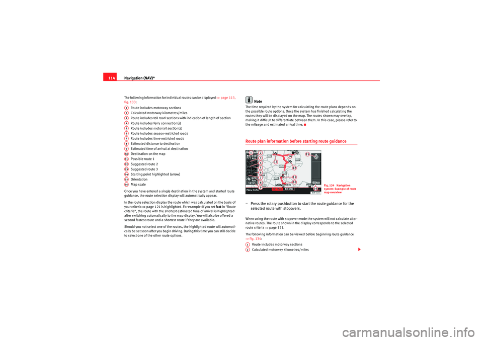
the mileage and estimated arrival time.Route plan information before starting route guidance– Press the rotary pushbutton to start the route guidance for the selected route with stopovers.When using the route with stopover mode the system will not calculate alter-
native routes. The route shown in the display corresponds to the selected
route criteria ⇒page 121.
The following information can be viewed before beginning route guidance
⇒ fig. 134 :
Route includes motorway sections
Calculated motorway kilometres/miles
A1A2A3A4A5A6A7A8A9A10A11A12A13A14A15A16
Fig. 134 Navigation
system: Example of route
map overview
A1A2
media_systemE_EN.book Seite 114 Montag, 21. September 2009 1:48 13
Page 116 of 167

Navigation (NAV)*115
Operating
RADIO, MEDIA (audiovisual
systems)
NAME, TEL
NAV, INFO
CAR, SETUP
Route includes toll road sections with indication of length of section
Route includes ferry connection(s)
Route includes motorrail section(s)
Route includes season-restricted roads
Route includes time-restricted roads
Estimated distance to destination
Estimated time of arrival at destination
Starting point highlighted (arrow)
Stopover 1 on the map
Stopover 2 on the map
Stopover 3 on the map
Final destination on the map
Orientation
Map scale
Changing/Interrupting route guidance– Press the button or the button.
–Select
Stop route guidance .
– Change the information if necessary.
–Select Start route guidance .The previously entered data and settings remain unchanged even when you
cancel the route guidance. This means you can change e.g. the route criteria
⇒page 121 and then re-calculate the route.
If you start a route guidance, but do not complete it, this guidance will be
continued automatically when you start driving again. This also applies to
entered destinations that were not reached due to unexpected circumstances (e.g. change of plans). To end route guidance, select Stop route guidance
⇒ page 115.
Note
Calculated destinations can also be changed on the map display by moving
the cursor ⇒page 129.To p d e s t i n a t i o n s
A3A4A5A6A7A8A9A10A11A12A13A14A15A16
NAV
RETURN
Fig. 135 Navigation
system: Set entry as top
destinationFig. 136 Navigation
system: Map display of a
top destination (push pin)
media_systemE_EN.book Seite 115 Montag, 21. September 2009 1:48 13
Page 124 of 167

Navigation (NAV)*123
Operating
RADIO, MEDIA (audiovisual
systems)
NAME, TEL
NAV, INFO
CAR, SETUP
Avoiding route sectionsThis function is available once you start travelling on a calculated
route.
– Press the Route control button in the navigation menu.
–Select Avoid route from here ⇒ page 120, fig. 142 .
– Turn the control knob to select the appropriate section on the current route.
– Confirm the section to be avoided by pressing the control knob.The navigation system will attempt to calculate an alternative route plan for
the section you want to avoid.
If you stop and then restart the route guidance, it will be necessary to re-enter
the route section to avoid.
Note
•If the function Avoid route from here is greyed out and the navigation
system is not able to offer an alternative route, this indicates that there is no
suitable detour.•If you do not follow the calculated route or if you leave the route, the
system will automatically calculate a new route plan based on your current
location.
Map control buttonIntroduction
There are various displays for maps and information with
different options possible.Map representation:•Map and information representation during route guidance with inactive
side menu ⇒ page 124•Map representation with active side menu ⇒ page 125Note
•If the route or sections of the route are highlighted in a light blue colour
⇒ fig. 146 in the map display, this indicates that information regarding
this road or route section may be incomplete. For example, it could be a one-
way street or a pedestrian zone, etc. Take the signs found on the route into
account and respect traffic regulations.•You will see directional arrows in the instrument panel display
⇒ page 101 or ⇒page 101 which inform you of the route guidance
directions.
Fig. 146 Navigation: Map
display with a section of
the route highlighted light
blue
A1
media_systemE_EN.book Seite 123 Montag, 21. September 2009 1:48 13
Page 128 of 167

Navigation (NAV)*127
Operating
RADIO, MEDIA (audiovisual
systems)
NAME, TEL
NAV, INFO
CAR, SETUP
– Rotate the control knob counterclockwise to zoom in on the map
(smaller scale, detail view) or
– Rotate the control knob clockwise to zoom out of the map (larger
scale, more overview). The scale ⇒ page 126, fig. 151 is
shown in the side menu.
Changing scale with active side menu:
– Press the Map control button in the navigation menu.
– Press the control knob to switch to the map side menu.
– Rotate the control knob to the second menu item.
– Press the control knob to activate the map menu item Zoom (white highlight) ⇒page 126, fig. 152 .
– Rotate the control knob counterclockwise to zoom in on the map
(smaller scale, detail view) or
– Rotate the control knob clockwise to zoom out of the map (larger
scale, more overview). The scale ⇒ page 126, fig. 152 is
shown in the side menu.
– Press the ⇒page 9 button to exit the zoom mode.The scale can be set from 50 m to 600 km.
When you change the scale with the side menu active, the change will only
apply for as long as the side menu is active.
By pressing the button once, you leave Zoom mode and can use
other map menu items. Press the button again to deactivate the
active side menu.
The scales recommended for driving are:
•3.5 km on motorways•750 m on secondary roads•200 m in citiesNote
If you have activated auto intersection zoom ⇒page 137 and have selected
the map type destination, current position or current position 3D
⇒ page 133 the map scale will zoom in automatically at junctions and at turn
points.
A1
A2
A2
RETURNRETURN
RETURN
media_systemE_EN.book Seite 127 Montag, 21. September 2009 1:48 13
Page 130 of 167

Navigation (NAV)*129
Operating
RADIO, MEDIA (audiovisual
systems)
NAME, TEL
NAV, INFO
CAR, SETUP
Moving the cursor over the map
A new destination or stopover can be set using the map by
moving the cursor vertically or horizontally.– Press the Map control button in the navigation menu.
– Press the control knob to switch to the map side menu.
– Rotate the control knob to to the fourth menu item. – Press the control knob, the vertical line in the cursor is high-
lighted in white ⇒fig. 155 .
– Turn the rotary pushbutton to mark the point you wish to select.
– Press the control knob, the vertical line in the cursor is high- lighted in white ⇒fig. 156 .
– By pressing the control knob you can switch back and forth between horizontal and vertical movement.
If the cursor remains in a new position, detailed information (e.g. street or city
name) will be displayed for the current position.
Press the button once to leave the cursor setting and use other map
menu items via the active side menu. Press the button again to deac-
tivate the side menu.Scroll Function–Press the Map control button in the navigation menu.
Fig. 155 Navigation
system: Moving the
cursor horizontallyFig. 156 Navigation
system: Moving the
cursor vertically
RETURN
RETURN
Fig. 157 Navigation
system: Scrolling the map
media_systemE_EN.book Seite 129 Montag, 21. September 2009 1:48 13
Page 133 of 167

Navigation (NAV)*
132Map scheme
The map representation can be changed according to driving
conditions (day or night).– Press the ⇒page 9 function button in the navigation
menu.
– Select Map scheme ⇒ page 131, fig. 160 .
– Select day , night or auto as desired.Day
The map representation contains all type of topographical details. The back-
ground is shown in light colours. This makes map features easy to recognise.
The daytime view is optimised for ambient light ⇒page 101, fig. 117 .
Night
The map representation contains all type of topographical details. The back-
ground is shown dark ⇒fig. 162 . This provides a glare-free view of the map.
The street names and their layout, place names and map contents are in
contrasting light colours. On
The map scheme changes automatically from day to night display when the
low-beam lights are turned on.
Map orientation–Press the ⇒
page 9 function button in the navigation
menu.
– Select Orientation ⇒page 131, fig. 160 .
– Select north, vehicle or auto as desired.North
The map display is set to always face north (i.e. upwards) and the arrow
symbolising the car will move and rotate corresponding to the actual move-
ment and direction ⇒fig. 163.
Vehicle
The car symbol is set to always face upwards. The map then rotates around
the car in accordance with actual movement.
Fig. 162 Navigation
settings: Night map
SETUP
Fig. 163 Navigation
settings: Orientation -
north
SETUP
media_systemE_EN.book Seite 132 Montag, 21. September 2009 1:48 13
Page 137 of 167

Navigation (NAV)*
136The name beneath the three-line turn list is the name of the road you are
currently driving on.
Note
If you have activated both the turn list and the motorway information function
⇒ page 136, the motorway information list will be displayed when driving on
the motorway ⇒ fig. 168, and the turn list ⇒ page 135, fig. 167 will
be displayed on all other roads.Motorway info
When driving on the motorway you will receive information
about parking areas, motorway exits, rest areas, etc. if the
function is activated.– Press the ⇒page 9 function button in the navigation
menu.
– Highlight Motorway info with a check mark
⇒ page 131,
fig. 161 to activate the function.
The relevant motorway information ⇒fig. 168 along your route is
displayed.
If the motorway information function is activated, the next three points along
your route with relevant information will be displayed.
The next relevant point of information (e.g. upcoming motorway intersection)
is listed at the bottom of the list.
Once you have completed the manoeuvre, it will be removed from the list. The
next turn will drop down from above, etc.
The symbols for relevant points of information are displayed with the
distance and estimated time of arrival at the point (motorway exits are
displayed along with the exit number) ⇒fig. 168 .
The following motorway information can be displayed:•Motorway intersections•Motorway exits•Parking areas•Petrol stations and rest areas
Arrival times of less than one minute are not displayed.
The name shown beneath the list is the name of the motorway, major road or
street on which you are currently driving.Note
If you have activated both the turn list ⇒page 135 and the motorway infor-
mation function, the motorway information list ⇒fig. 168 will be
displayed when driving on the motorway, and the turn list ⇒page 135,
fig. 167 will be displayed on all other roads.
A2
A1
Fig. 168 Navigation
settings: Map display
showing motorway infor-
mation
SETUP
A2
A2
A1
media_systemE_EN.book Seite 136 Montag, 21. September 2009 1:48 13
Page 138 of 167

Navigation (NAV)*137
Operating
RADIO, MEDIA (audiovisual
systems)
NAME, TEL
NAV, INFO
CAR, SETUP
Intersection map– Press the ⇒page 9 function button in the navigation
menu.
– Highlight the Intersection map with a check mark
⇒ fig. 169
to activate the function.
You can activate the function to have the map split at intersections for a better
overview. In the right section of the screen you will find the current overview
map (scale remains the same). In the left section of the screen a zoomed-in
map of the intersection is simultaneously displayed ⇒fig. 170 . The distance to the upcoming turn-off is shown in the display. The name of
the road onto which you should turn is indicated at the top of the screen.
If you activate the
Intersection map function, the Auto intersection zoom
function will be deactivated automatically. These two functions are mutually
exclusive.
Note
The map is oriented to driving direction ⇒page 132 when switching to zoom
mode.Auto intersection zoom
The map displays in zoom mode at intersections.–Press the ⇒page 9 function button in the navigation
menu.
– Highlight the Auto intersection zoom with a check mark
⇒ fig. 171 to activate the function.
Fig. 169 Navigation
settings: Active intersec-
tion map functionFig. 170 Navigation
settings: Map display
with active intersection
map
SETUP
Fig. 171 Navigation
settings: Auto intersec-
tion zoom function acti-
vated
SETUP
media_systemE_EN.book Seite 137 Montag, 21. September 2009 1:48 13
Page 139 of 167

Navigation (NAV)*
138If you have activated the Auto intersection zoom and have set the
Destination , Location or Location 3D map type ⇒page 133, the map will
automatically zoom in at intersections. This provides a better view of the road
layout.
If you activate the Auto intersection zoom function, the Intersection map
function will be deactivated automatically. These two functions are mutually
exclusive.Co mp ass
–Press the ⇒ page 9 function button in the navigation
menu.
– Highlight Compass with a check mark
⇒ fig. 172 to activate
the function.
When the route guidance is not activated, the compass will indicate the direc-
tion of travel in the instrument panel display ⇒fig. 173. If the current
road/street is recognised by the system, it will also be displayed.Software version–Press the ⇒ page 9 function button in the navigation
menu.
– Select Version information ⇒fig. 172 .
Fig. 172 Navigation
settings: Compass func-
tion activated
Fig. 173 Instrument
panel display: Example of
a compass display
SETUPSETUP
media_systemE_EN.book Seite 138 Montag, 21. September 2009 1:48 13