change time Acura TSX 2011 Navigation Manual
[x] Cancel search | Manufacturer: ACURA, Model Year: 2011, Model line: TSX, Model: Acura TSX 2011Pages: 253, PDF Size: 22.88 MB
Page 2 of 253
The information and specifications included in this publication were in effect at the time of approval for printing. Honda Motor Co., Ltd., reserves the right,
however, to discontinue or change specifications or design at any time without notice and without incurring any obligation.
Accessories Precautions
The GPS antenna is located in the dashboard. Metallic front or side window tinting can seriously degrade or obstruct GPS recept ion.
Signal noise from devices such as radar detectors, vehicle tracking devices, remote starters, and additional amplifiers can dis rupt the navigation system. If you
install any such item, install it away from the navigation display and antenna.
Important Safety Information
Avoid focusing on the screen or manually operating the system controls while driving.
Enter information before you begin driving or when stopped. As yo u drive, listen to the audible instructions and use voice commands when possible. Pull to the
side of the road if you need more time to look at the screen or operate the controls.
Route guidance may conflict with street closures, road construction, detours, and out-of-date map data.
The system itself may also have limitations. Verify route info rmation by carefully observing roads, signs, and signals. Always use your own judgment and obey
traffic laws.
2
System Limitations P. 224
NOTICE
Clean the screen with a soft, damp cloth. You may us e a mild cleaner intended for use on navigation screens.
Using the navigation system while driving can take your
attention away from the road, causing a crash in which you
could be seriously injured or killed.
Only operate system controls when the conditions permit you
to safely do so.
WARNING
TSX_KA-31TL1820.book Page 0 Wednesday, September 22, 2010 3:17 PM
Page 18 of 253
16
Quick Reference GuideTroubleshootingFor more Information (P209)
Why does the vehicle position icon on the map “lag” a
short distance behind my actual position, especially at
intersections?
This is normal. The navigation system is unaware of the
width of intersections. Large differences in vehicle position
can indicate a temporary loss of the GPS signal.
Why does the “time to destination” display sometimes
increase even though I am getting closer to my
destination?
The “time to destination” is based on the posted road
speed signs and your actual road speed to give you a
better estimate of arrival time.
Why does my clock frequently change the time forward
and backward by one hour?
The clock setting is automatically updated based on your
GPS location. If you normally drive between two time
zones, the clock may keep adjusting the time. You can
turn this feature off.
2
Clock Adjustment P. 58
How do I specify a destination when an entered city or
street could not be found?
Try entering the street first. Some cities are lumped in with
a major metro area. In rural “unverified” areas or new
subdivisions, streets may be missing or only partially
numbered.
How do I turn on the navigation system voice guidance?
1. Press the INFO/PHONE button. Rotate i to select
Setup and press u. Check that Volume is not set to
OFF .
2. Move y to select Other, rotate i to select Basic
Settings , and press u. Set Voice Recognition Tutor
to ON if you want the system to provide confirmations
and system prompts.
My battery was disconnected or went dead, and the
navigation system is asking for a code. Where do I find it?
Your vehicle comes with a card in the glove box that
includes the 5-digit security code and serial number. You
should keep this card in a safe place outside your vehicle. If
you cannot find it, contact your dealer.
TSX_KA-31TL1820.book Page 16 Wednesday, September 22, 2010 3:17 PM
Page 22 of 253
20
System Setup
Start-up
The navigation system starts automatically when you turn the ignition to
ACCESSORY (I) or ON (II). At start-up, the fo llowing Confirmation screen is displayed.
1. Move y to select CHANGE
LANGUAGE .
If you do not need to change
the system language, proceed to
step 3.
2. Rotate i to change the system
language. Press u.
3. Press u to select OK.
Your current position is
displayed on the map screen.
If you have set any calendar
event reminders, they are
displayed. Proceed to step 4.
1Start-up
If the navigation system loses power at any time,
you may be prompted for the 5-digit security
code.
2 System Initialization P. 222
At start-up, the driver’s fob key is automatically
detected and the addres s book settings, setup
preferences, wallpapers, and audio settings for
that driver (e.g., Driver 1) are loaded.
Message Icon
If you have any unread messages, the
(message) icon is displayed at the bottom left
side of the screen.
2 AcuraLink® Messages P. 194
You can change the system language at any
time.
2 Language P. 31
“OK” on the Confirmati on screen cannot be
activated by voice. If you do not press u within
30 seconds, the screen goes blank (or displays
your wallpaper screen). Pr ess any navigation or
voice control button to continue.
TSX_KA-31TL1820.book Page 20 Wednesday, September 22, 2010 3:17 PM
Page 60 of 253
58
System Setup
Clock Adjustment
HINFO/PHONE button Setup Other Clock Adjustment
Set the automatic adjustment of the system clock for daylight saving and
international time zones.
Rotate i to select an item. Press u .
The following item s are available:
• Auto Daylight : The navigation system automati cally adjusts the clock (“spring
ahead” or “fall back” by one hour) when a daylight saving time change occurs.
ON (factory default): Adjust s the clock automatically.
OFF : Disables the feature.
• Auto Time Zone : The navigation system automati cally adjusts the clock when
driving through different time zones.
ON (factory default): Adjust s the clock automatically.
OFF : Disables the feature.
• Adjust Time : Adjust the current time manually.
2Adjust Time P. 59
• Reset : Reset the clock settings to the factory default.
2Resetting the Clock Settings P. 59
1Clock Adjustment
You can check the time and date from any
screen using voice commands.
2 Global Commands P. 236
Auto Daylight
This function is not activated in areas that have
not adopted daylight saving time, even if you
have set Auto Daylight to ON .
Auto Time Zone
If you live and work in two different time zones,
you may want to turn Auto Time Zone to OFF.
When driving near a time zone boundary, the
displayed time zone ma y fluctuate between the
two zone times.
TSX_KA-31TL1820.book Page 58 Wednesday, September 22, 2010 3:17 PM
Page 92 of 253
90
Navigation
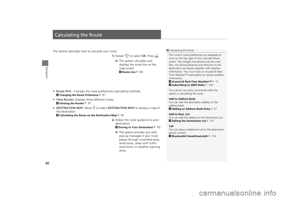
Calculating the Route
This section describes how to calculate your route.1.Rotate i to select OK . Press u.
The system calculates and
displays the route line on the
map screen.
2Route Line P. 94
• Route Pref. : Changes the route preferences (calculating method).
2Changing the Route Preference P. 91
• View Routes : Displays three different routes.
2Viewing the Routes P. 91
• DESTINATION MAP : Move r to select DESTINATION MAP to display a map of
the destination.
2 Calculating the Route on the Destination Map P. 92
2. Follow the route guidance to your
destination.
2 Driving to Your Destination P. 93
The system provides you with
pop-up messages if your route
passes through unverified areas,
avoid areas, areas with traffic
restrictions, or weather warning
areas.
1Calculating the Route
The current route prefer ences are displayed as
icons on the top right of the Calculate Route
screen. The straight line distance (as the crow
flies, not driving distan ce) and direction to the
destination are shown t ogether with weather
information. You must have an AcuraLink Real-
Time Weather™ subscripti on to receive weather
information.
2 AcuraLink Real-Time Weather™ P. 15
2 Subscribing to XM® Radio P. 144
You cannot use voice commands while the
system is calculating the route.
Add to Address Book
You can add the destination address to the
address book.
2 Adding an Address Book Entry P. 37
Add to Dest. List
You can add the address to the Destination List.
2 Editing the Destination List P. 127
Call
You can place a telephone ca ll to the destination
phone number.
2 Bluetooth® HandsFreeLink® P. 174
TSX_KA-31TL1820.book Page 90 Wednesday, September 22, 2010 3:17 PM
Page 93 of 253
91
Calculating the RouteChanging the Route Preference
Navigation
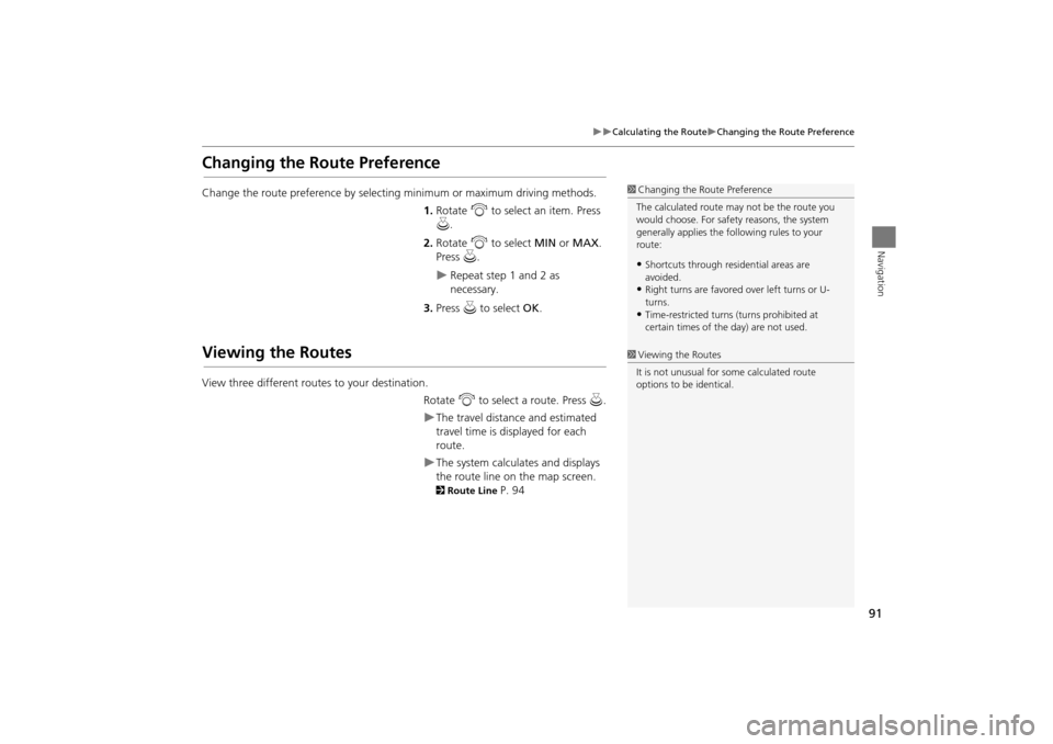
Changing the Route Preference
Change the route preference by selecting minimum or maximum driving methods.
1.Rotate i to select an item. Press
u .
2. Rotate i to select MIN or MAX .
Press u.
Repeat step 1 and 2 as
necessary.
3. Press u to select OK.
Viewing the Routes
View three different routes to your destination.
Rotate i to select a route. Press u.
The travel distance and estimated
travel time is displayed for each
route.
The system calculat es and displays
the route line on the map screen.
2 Route Line P. 94
1Changing the Route Preference
The calculated route ma y not be the route you
would choose. For safety reasons, the system
generally applies the fo llowing rules to your
route:
•Shortcuts through resi dential areas are
avoided.
•Right turns are favored over left turns or U-
turns.
•Time-restricted turns (turns prohibited at
certain times of the day) are not used.
1Viewing the Routes
It is not unusual for so me calculated route
options to be identical.
TSX_KA-31TL1820.book Page 91 Wednesday, September 22, 2010 3:17 PM
Page 95 of 253
93
Navigation
Driving to Your Destination
This section describes how to follow the route guidance to your destination, receive
traffic and weather information, and choose the icons displayed on the map screen.
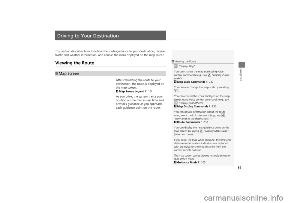
Viewing the Route
After calculating the route to your
destination, the route is displayed on
the map screen.
2 Map Screen Legend P. 10
As you drive, the system tracks your
position on the map in real time and
provides guidance as you approach
each guidance point on the route.
■ Map Screen
1 Viewing the Route
d “Display Map”
You can change the map scale using voice
control commands (e.g., say d “Display 2 mile
scale” ).
2 Map Scale Commands P. 237
You can also change the map scale by rotating
i .
You can control the icons displayed on the map
screen using voice control commands (e.g., say
d “Display post office” ).
2 Map Display Commands P. 236
You can obtain information about the route
using voice control commands (e.g., say d
“How long to the destination?” ).
2 Route Commands P. 238
You can display the next guidance point on the
map screen by saying d “Display Map Guide”
(when en route).
If you scroll the map while en route, the time and
distance to destination indicators are replaced
with an indicator showing distance from the
current vehicle position.
The map screen can be viewed in single-screen or
split-screen mode.
2 Guidance Mode P. 103
TSX_KA-31TL1820.book Page 93 Wednesday, September 22, 2010 3:17 PM
Page 96 of 253
94
Driving to Your DestinationViewing the Route
Navigation
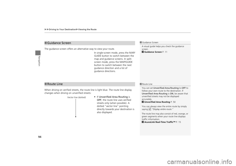
The guidance screen offers an alternative way to view your route.
In single-screen mode, press the MAP/
GUIDE button to switch between the
map and guidance screens. In split-
screen mode, press the MAP/GUIDE
button to switch between the next
guidance direction and a list of
guidance directions.
When driving on verified streets, the rout e line is light blue. The route line display
changes when driving on unverified streets:
•If Unverified Area Routing is
OFF , the route line uses verified
streets only (when possible). A
dotted “vector line” pointing
directly towards your destination is
also displayed.
■ Guidance Screen1 Guidance Screen
A visual guide helps you check the guidance
screen.
2 Guidance Screen P. 11
■Route Line1 Route Line
You can set Unverified Area Routing to OFF to
follow your own route to the destination. If
Unverified Area Routing is ON , be aware that
unverified streets ma y not be displayed
accurately.
2 Unverified Area Routing P. 50
You can always view the entire route by simply
saying d “Display entire route.”
The route line may also c onsist of red, orange, or
green segments when your route line displays
traffic information.
2 AcuraLink Real-Time Traffic™ P. 15
Vector line (dotted)
TSX_KA-31TL1820.book Page 94 Wednesday, September 22, 2010 3:17 PM
Page 119 of 253
117
Map MenuWeather Information
Navigation
HENTER button (on map) Weather Info. Warning Map
View a color-coded weather warning map. Each color corresponds to a different
type of warning.
1.Scroll the map to position the
cursor over a colored area,
adjusting the map scale as
necessary. Press u.
The system displays the detailed
information.
2. Press u to listen to the weather
warning.
■ Warning Map1 Warning Map
You can change the map scale to 50, 150, or
350 miles.
Moving the cursor does not display the detailed
information.
You can also say d “Read List” to listen to the
weather warning information.
A visual guide helps y ou see a weather warning
map.
2 AcuraLink Real-Time Weather™ P. 15
TSX_KA-31TL1820.book Page 117 Wednesday, September 22, 2010 3:17 PM
Page 120 of 253
118
Map MenuWeather Information
Navigation
HENTER button (on map) Weather Info. Radar Map
View a weather radar image map di splaying rain and snow systems.
Scroll the map to view weather
information, adjust ing the map scale
as necessary.
■ Radar Map1 Radar Map
You can change the map scale to 50, 150, or
350 miles.
Moving the cursor does not display the detailed
information.
A visual guide helps y ou see a weather radar
image map.
2 AcuraLink Real-Time Weather™ P. 15
TSX_KA-31TL1820.book Page 118 Wednesday, September 22, 2010 3:17 PM