turn signal HONDA CR-V 2014 RM1, RM3, RM4 / 4.G Navigation Manual
[x] Cancel search | Manufacturer: HONDA, Model Year: 2014, Model line: CR-V, Model: HONDA CR-V 2014 RM1, RM3, RM4 / 4.GPages: 212, PDF Size: 11.59 MB
Page 15 of 212

14
Quick Reference GuideTroubleshootingFor more Information (P173)
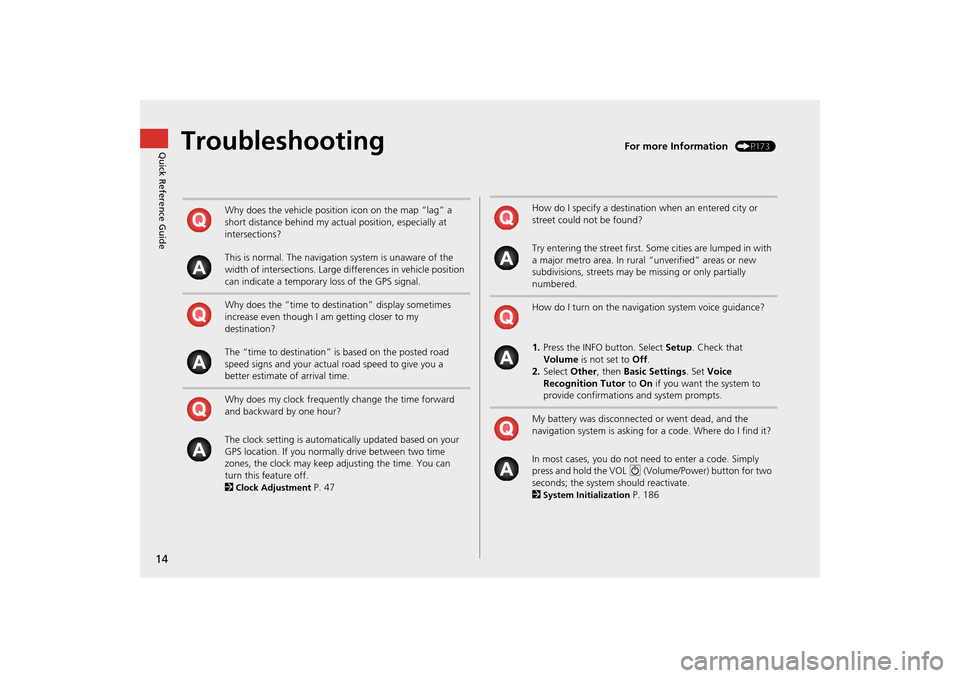
Why does the vehicle position icon on the map “lag” a
short distance behind my actual position, especially at
intersections?
This is normal. The navigation system is unaware of the
width of intersections. Large differences in vehicle position
can indicate a temporary loss of the GPS signal.
Why does the “time to destination” display sometimes
increase even though I am getting closer to my
destination?
The “time to destination” is based on the posted road
speed signs and your actual road speed to give you a
better estimate of arrival time.
Why does my clock frequently change the time forward
and backward by one hour?
The clock setting is automatically updated based on your
GPS location. If you normally drive between two time
zones, the clock may keep adjusting the time. You can
turn this feature off.
2
Clock Adjustment P. 47
How do I specify a destination when an entered city or
street could not be found?
Try entering the street first. Some cities are lumped in with
a major metro area. In rural “unverified” areas or new
subdivisions, streets may be missing or only partially
numbered.
How do I turn on the navigation system voice guidance?
1. Press the INFO button. Select Setup. Check that
Volume is not set to Off.
2. Select Other, then Basic Settings. Set Voice
Recognition Tutor to On if you want the system to
provide confirmations and system prompts.
My battery was disconnected or went dead, and the
navigation system is asking for a code. Where do I find it?
In most cases, you do not need to enter a code. Simply
press and hold the VOL 9 (Volume/Power) button for two
seconds; the system should reactivate.
2
System Initialization P. 186
CR-V_KA-31T0A800.book 14 ページ 2011年7月4日 月曜日 午後1時56分
Page 164 of 212

163
Bluetooth® HandsFreeLink®Receiving a Call
Bluetooth® HandsFreeLink®
Receiving a Call
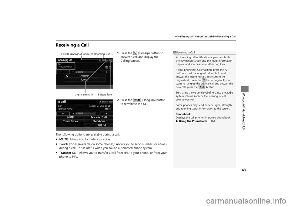
1.Press the h (Pick-Up) button to
answer a call and display the
Calling screen.
2. Press the J (Hang-Up) button
to terminate the call.
The following options are available during a call:
• MUTE: Allows you to mute your voice.
• Touch Tones (available on some phones): Allows you to send numbers or names
during a call. This is useful when you call an automated phone system.
• Transfer Call : Allows you to transfer a call fro m HFL to your phone, or from your
phone to HFL.1 Receiving a Call
An incoming call notif ication appears on both
the navigation screen and the multi-information
display, and you hear an audible ring tone.
If your phone has Call Waiting, press the h
button to put the origin al call on hold and
answer the incoming call. To return to the
original call, press the h button again. If you
want to hang up the origin al call and answer the
new call, press the J button.
To change the volume leve l of HFL, use the audio
system volume knob or the steering wheel
volume controls.
Some phones may send battery, signal strength,
and roaming status information to the screen.
Phonebook
Displays the cell phone’s imported phonebook.
2 Using the Phonebook P. 161Call ID Bluetooth indicator Roaming status
Signal strength Battery level
CR-V_KA-31T0A800.book 163 ページ 2011年7月4日 月曜日 午後1時56分
Page 178 of 212

177
TroubleshootingGuidance, Routing
Troubleshooting
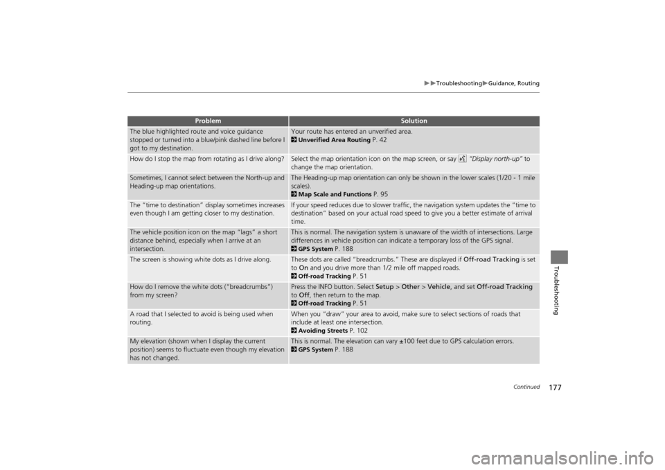
The blue highlighted route and voice guidance
stopped or turned into a blue/pink dashed line before I
got to my destination.Your route has entered an unverified area.
2Unverified Area Routing P. 42
How do I stop the map from rotating as I drive along?Select the map orientation icon on the map screen, or say d “Display north-up” to
change the map orientation.
Sometimes, I cannot select between the North-up and
Heading-up map orientations.The Heading-up map orientation can only be shown in the lower scales (1/20 - 1 mile
scales).
2 Map Scale and Functions P. 95
The “time to destination” display sometimes increases
even though I am getting closer to my destination.If your speed reduces due to slower traffic, the navigation system updates the “time to
destination” based on your actual road speed to give you a better estimate of arrival
time.
The vehicle position icon on the map “lags” a short
distance behind, especially when I arrive at an
intersection.This is normal. The navigation system is un aware of the width of intersections. Large
differences in vehicle position can indicate a temporary loss of the GPS signal.
2 GPS System P. 188
The screen is showing white dots as I drive along.These dots are called “breadcrumbs.” These are displayed if Off-road Tracking is set
to On and you drive more than 1/2 mile off mapped roads.
2Off-road Tracking P. 51
How do I remove the white dots (“breadcrumbs”)
from my screen?Press the INFO button. Select Setup > Other > Vehicle , and set Off-road Tracking
to Off , then return to the map.
2Off-road Tracking P. 51
A road that I selected to avoid is being used when
routing.When you “draw” your area to avoid, make sure to select sections of roads that
include at least one intersection.
2Avoiding Streets P. 102
My elevation (shown when I display the current
position) seems to fluctuate even though my elevation
has not changed.This is normal. The elevation can vary ±100 feet due to GPS calculation errors.
2GPS System P. 188
ProblemSolution
Continued
CR-V_KA-31T0A800.book 177 ページ 2011年7月4日 月曜日 午後1時56分