sat nav HONDA PASSPORT 2019 Navigation Manual (in English)
[x] Cancel search | Manufacturer: HONDA, Model Year: 2019, Model line: PASSPORT, Model: HONDA PASSPORT 2019Pages: 127, PDF Size: 4.98 MB
Page 17 of 127
15
System Setup
This section describes the start-up procedure and the navigation and setup functions.
Start-up....................................................16
Voice Control System ..............................17
Voice Recognition ...................................17
Personal Information ...............................18
Setting Home Location ............................18
Saved Locations ......................................19
Saved Trips .............................................26
Display Mode Settings ............................30
Switching Display Mode Manually ...........30
Guidance Volume Settings ......................32
Map and Vehicle ......................................33
Vehicle Selection .....................................34
Driving Map View (Map Orientation) .......35
Map Theme ............................................36
Map Layer...............................................37 myMaps ................................................. 38
Map Updates ......................................... 39
Navigation ............................................... 40
Calculation Mode................................... 41
Avoidances ............................................ 42
Custom Avoidances ............................... 43
Satellite Status ....................................... 47
Traffic ....................................................... 48
Location History ...................................... 49
About ....................................................... 50
Data Reset ............................................... 51
Reset Factory Default Settings ................ 51
19 PILOT NAVI-31TG78300.book 15 ページ 2018年5月24日 木曜日 午前10時52分
Page 42 of 127
40
System Setup
Navigation
H (Home) uNavigation uuSettings uNavigation
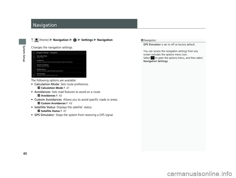
Changes the navigation settings.
The following options are available:
• Calculation Mode : Sets route preference.
2Calculation Mode P. 41
•Avoidances : Sets road features to avoid on a route.
2Avoidances P. 42
•Custom Avoidances : Allows you to avoid sp ecific roads or areas.
2Custom Avoidances P. 43
•Satellite Status : Displays the satellite' status.
2Satellite Status P. 47
•GPS Simulator : Stops the system from receiving a GPS signal.
1Navigation
GPS Simulator is set to off as factory default.
You can access the naviga tion settings from any
screen includes the options menu icon.
Select to open the options menu, and then select
Navigation Settings .
19 PILOT NAVI-31TG78300.book 40 ページ 2018年5月24日 木曜日 午前10時52分
Page 49 of 127
47
uuNavigation uSatellite Status
System Setup
Satellite Status
H (Home) uNavigation uuSettings uNavigation uSatellite
Status
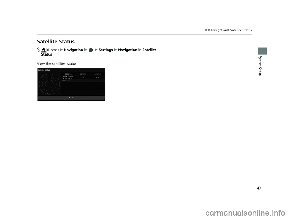
View the satellites’ status.
19 PILOT NAVI-31TG78300.book 47 ページ 2018年5月24日 木曜日 午前10時52分
Page 76 of 127
74
uuCalculating the Route uViewing the Location Information
Navigation
Viewing the Location Information
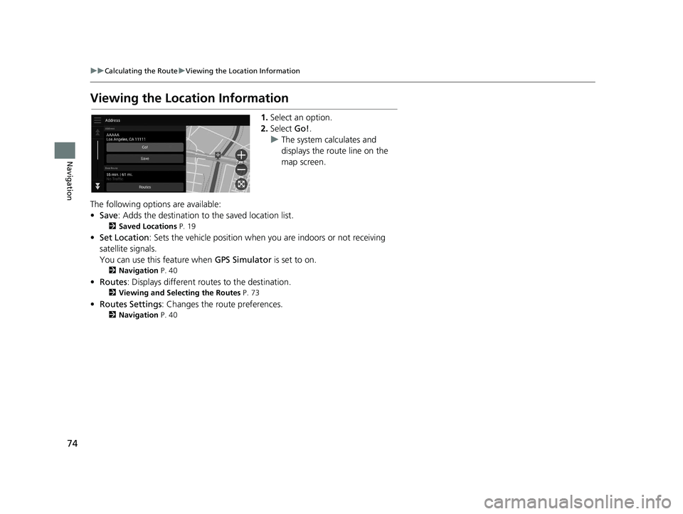
1. Select an option.
2. Select Go!.
u The system calculates and
displays the route line on the
map screen.
The following options are available:
• Save : Adds the destination to the saved location list.
2Saved Locations P. 19
•Set Location : Sets the vehicle position when you are indoors or not receiving
satellite signals.
You can use this feature when GPS Simulator is set to on.
2Navigation P. 40
•Routes : Displays different rout es to the destination.
2Viewing and Selecting the Routes P. 73
•Routes Settings : Changes the route preferences.
2Navigation P. 40
19 PILOT NAVI-31TG78300.book 74 ページ 2018年5月24日 木曜日 午前10時52分
Page 104 of 127
102
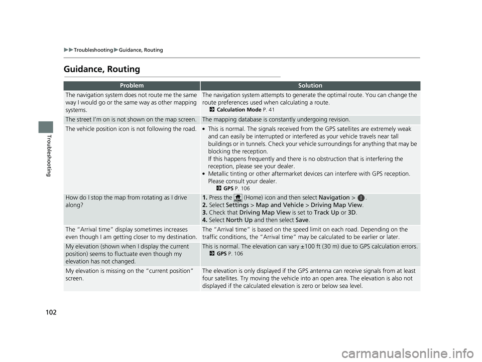
uuTroubleshooting uGuidance, Routing
Troubleshooting
Guidance, Routing
ProblemSolution
The navigation system does not route me the same
way I would go or the same way as other mapping
systems.The navigation system attempts to generate the optimal route. You can change the
route preferences used when calculating a route.
2 Calculation Mode P. 41
The street I’m on is not shown on the map screen.The mapping database is constantly undergoing revision.
The vehicle position icon is not following the road. ●This is normal. The signals received fro m the GPS satellites are extremely weak
and can easily be interrupted or interfe red as your vehicle travels near tall
buildings or in tunnels. Check your vehicle surroundings for anything that may be
blocking the reception.
If this happens frequently and there is no obstruction that is interfering the
reception, please see your dealer.
●Metallic tinting or other aftermarket devices can interfere with GPS reception.
Please consult your dealer.
2 GPS P. 106
How do I stop the map from rotating as I drive
along?1.Press the (Home) icon and then select Navigation > .
2. Select Settings > Map and Vehicle > Driving Map View.
3. Check that Driving Map View is set to Track Up or 3D.
4. Select North Up and then select Save.
The “Arrival time” displa y sometimes increases
even though I am getting closer to my destination.The “Arrival time” is based on the spee d limit on each road. Depending on the
traffic conditions, the “Arrival time” may be calculated to be earlier or later.
My elevation (shown when I display the current
position) seems to fluc tuate even though my
elevation has not changed.This is normal. The elevation can vary ±100 ft (30 m) due to GPS calculation errors.
2 GPS P. 106
My elevation is missing on the “current position”
screen.The elevation is only displayed if the GP S antenna can receive signals from at least
four satellites. Try moving the vehicle into an open area. The elevation is also not
displayed if the calculated elevation is zero or below sea level.
19 PILOT NAVI-31TG78300.book 102 ページ 2018年5月24日 木曜日 午前10時52分
Page 108 of 127
106
Reference Information
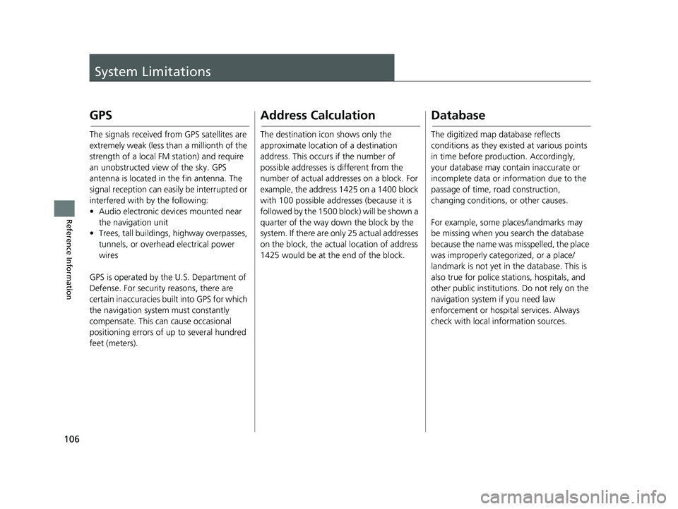
System Limitations
GPS
The signals received from GPS satellites are
extremely weak (less than a millionth of the
strength of a local FM station) and require
an unobstructed view of the sky. GPS
antenna is located in the fin antenna. The
signal reception can easily be interrupted or
interfered with by the following:
• Audio electronic devices mounted near the navigation unit
• Trees, tall buildings, highway overpasses,
tunnels, or overhead electrical power
wires
GPS is operated by the U.S. Department of
Defense. For security reasons, there are
certain inaccuracies bu ilt into GPS for which
the navigation system must constantly
compensate. This can cause occasional
positioning errors of up to several hundred
feet (meters).
Address Calculation
The destination icon shows only the
approximate location of a destination
address. This occurs if the number of
possible addresses is different from the
number of actual addr esses on a block. For
example, the address 1425 on a 1400 block
with 100 possible addresses (because it is
followed by the 1500 block) will be shown a
quarter of the way down the block by the
system. If there are only 25 actual addresses
on the block, the actual location of address
1425 would be at the end of the block.
Database
The digitized map database reflects
conditions as they existed at various points
in time before production. Accordingly,
your database may contain inaccurate or
incomplete data or information due to the
passage of time, road construction,
changing conditions, or other causes.
For example, some places/landmarks may
be missing when you search the database
because the name was misspelled, the place
was improperly categorized, or a place/
landmark is not yet in the database. This is
also true for police stations, hospitals, and
other public institutions. Do not rely on the
navigation system if you need law
enforcement or hospital services. Always
check with local information sources.
19 PILOT NAVI-31TG78300.book 106 ページ 2018年5月24日 木曜日 午前10時52分
Page 124 of 127
122
Index
S
Satellite Status............................................ 47
Saved Locations .......................................... 19
Deleting............................................... 24, 25
Editing ....................................................... 22
Saving ....................................................... 19
Setting
About ........................................................ 50
Data Reset ................................................. 51
Display Mode Settings ............................... 30
Guidance Volume ...................................... 32
Location History ......................................... 49
Map and Vehicle........................................ 33
Navigation ................................................. 40
Personal Information.................................. 18
Traffic ........................................................ 48
Start-up ....................................................... 16
Stopping the Route .................................... 88
System Limitations .................................... 106
T
Track Up...................................................... 35
Traffic
Setting....................................................... 48
Traffic Information ..................................... 80
Troubleshooting ................................. 12, 100
U
Update System Software
Map Updates ............................................. 39 Obtaining Update Data ........................... 108
V
Vehicle Selection
........................................ 34
Voice Commands
Basic Operation ........................................... 5
Voice Commands List .............................. 118
Voice Control System ................................ 17
Voice Control Operation ............................ 11
Voice Recognition ...................................... 17
19 PILOT NAVI-31TG78300.book 122 ページ 2018年5月24日 木曜日 午前10時52分