navigation system MAZDA MODEL CX-3 2018 Navigation Manual (in English)
[x] Cancel search | Manufacturer: MAZDA, Model Year: 2018, Model line: MODEL CX-3, Model: MAZDA MODEL CX-3 2018Pages: 91, PDF Size: 5.59 MB
Page 56 of 91
57
1
2
3
4
5
6
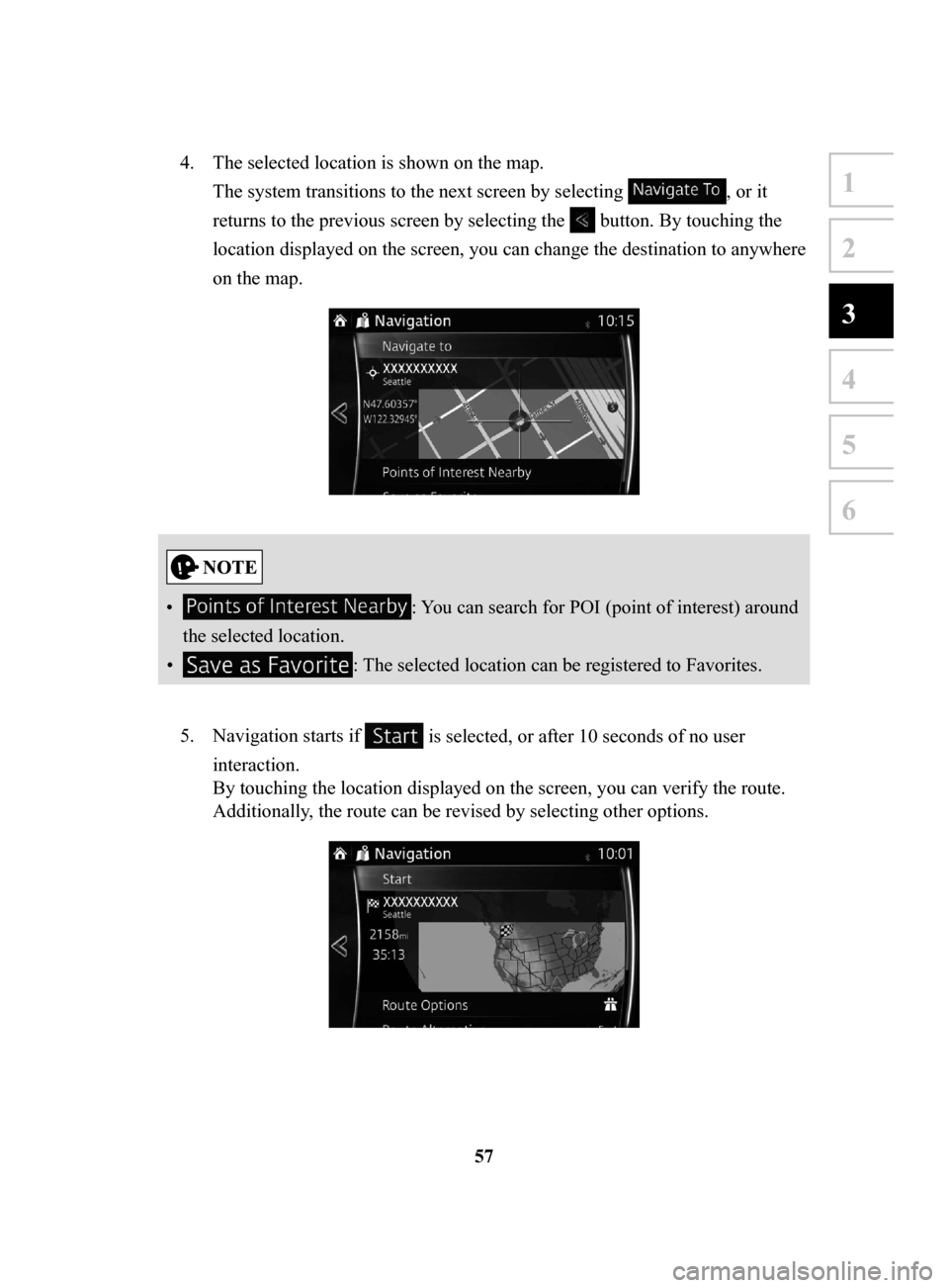
4. The selected location is shown on the map.
The system transitions to the next screen by selecting
, or it
returns to the previous screen by selecting the
button. By touching the
location displayed on the screen, you can change the destination to anywhere
on the map.
• : You can search for POI (point of interest) around
the selected location.
•
: The selected location can be registered to Favorites.
5.
Navigation starts if is selected, or after 10 seconds of no user
interaction.
By touching the location displayed on the screen, you can verify the route.
Additionally, the route can be revised by selecting other options.
NAV-999VU1E.indb 572016/03/24 17:26:18
Page 57 of 91
58
3.1.5 Selecting
the destination from your Favorites
1. Select after selecting on the MAP screen.
2.
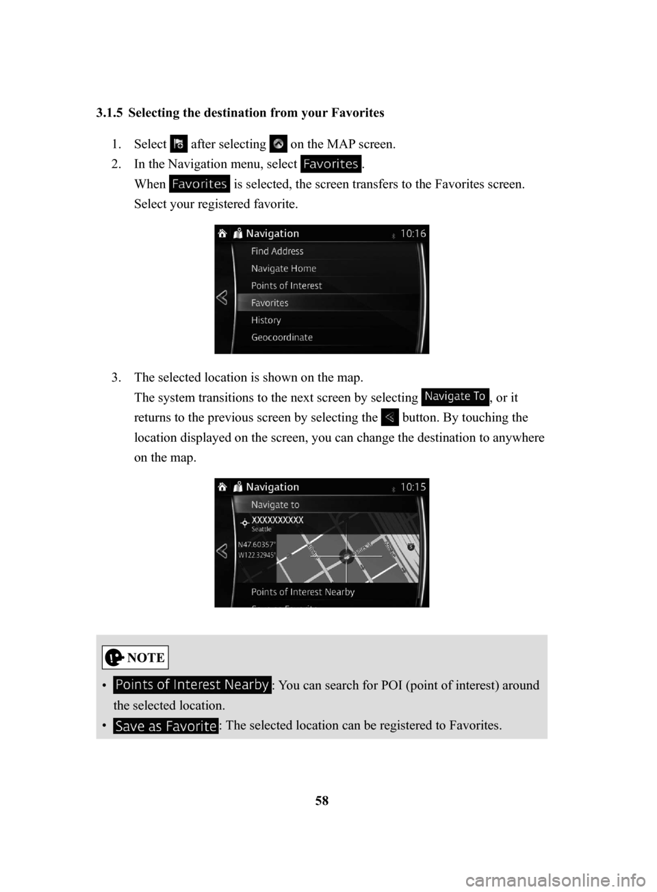
In the Navigation menu, select .
When
is selected, the screen transfers to the Favorites screen.
Select your registered favorite.
3. The selected location is shown on the map.
The system transitions to the next screen by selecting
, or it
returns to the previous screen by selecting the
button. By touching the
location displayed on the screen, you can change the destination to anywhere
on the map.
• : You can search for POI (point of interest) around
the selected location.
•
: The selected location can be registered to Favorites.
NAV-999VU1E.indb 582016/03/24 17:26:18
Page 60 of 91
61
1
2
3
4
5
6
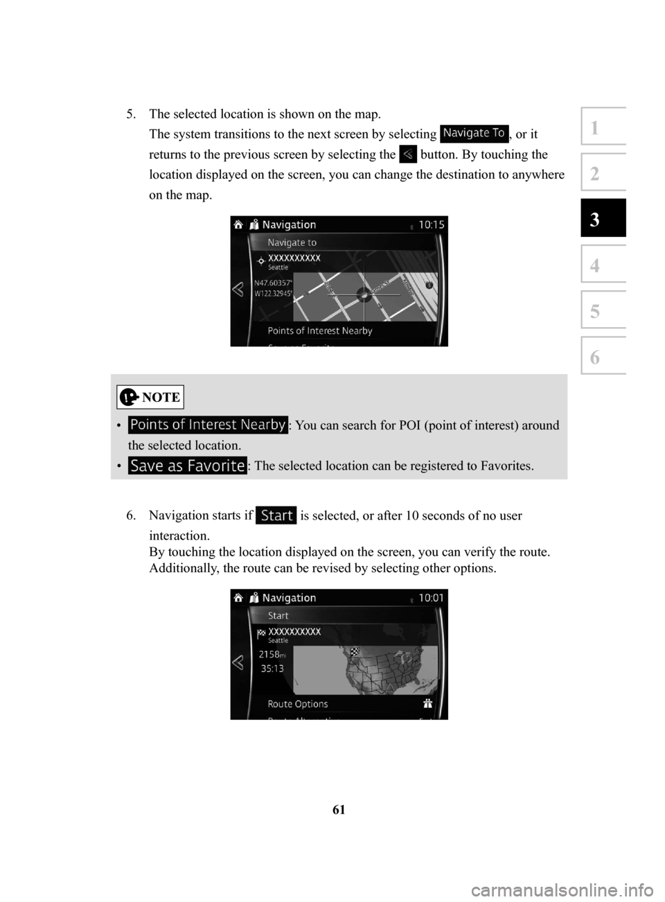
5. The selected location is shown on the map.
The system transitions to the next screen by selecting
, or it
returns to the previous screen by selecting the
button. By touching the
location displayed on the screen, you can change the destination to anywhere
on the map.
• : You can search for POI (point of interest) around
the selected location.
•
: The selected location can be registered to Favorites.
6.
Navigation starts if is selected, or after 10 seconds of no user
interaction.
By touching the location displayed on the screen, you can verify the route.
Additionally, the route can be revised by selecting other options.
NAV-999VU1E.indb 612016/03/24 17:26:19
Page 62 of 91
63
1
2
3
4
5
6
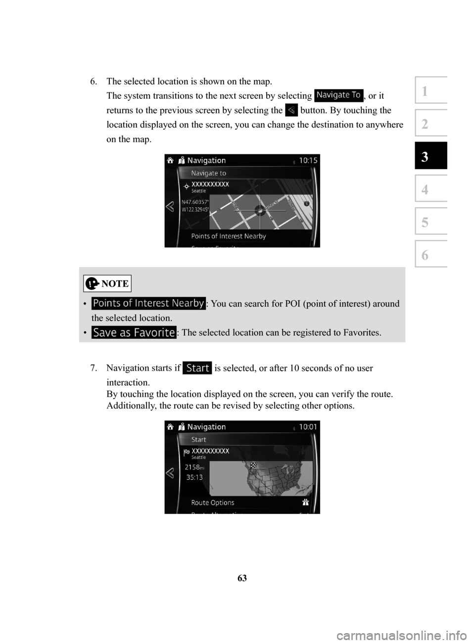
6. The selected location is shown on the map.
The system transitions to the next screen by selecting
, or it
returns to the previous screen by selecting the
button. By touching the
location displayed on the screen, you can change the destination to anywhere
on the map.
• : You can search for POI (point of interest) around
the selected location.
•
: The selected location can be registered to Favorites.
7.
Navigation starts if is selected, or after 10 seconds of no user
interaction.
By touching the location displayed on the screen, you can verify the route.
Additionally, the route can be revised by selecting other options.
NAV-999VU1E.indb 632016/03/24 17:26:19
Page 63 of 91
64
3.2 Checking route parameters and accessing route related functions
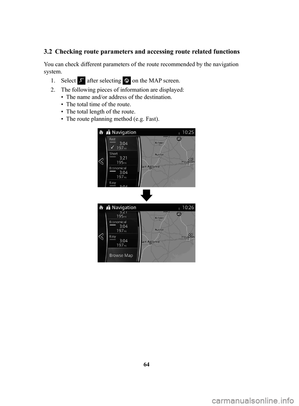
You can check different parameters of the route recommended by the navigation
system.1.
Select after selecting on the MAP screen.
2.
The following pieces of information are displayed:
•
The name and/or address of the destination.
•
The total time of the route.
•
The total length of the route.
•
The route planning method (e.g. Fast).
NAV-999VU1E.indb 642016/03/24 17:26:19
Page 68 of 91
69
1
2
3
4
5
6
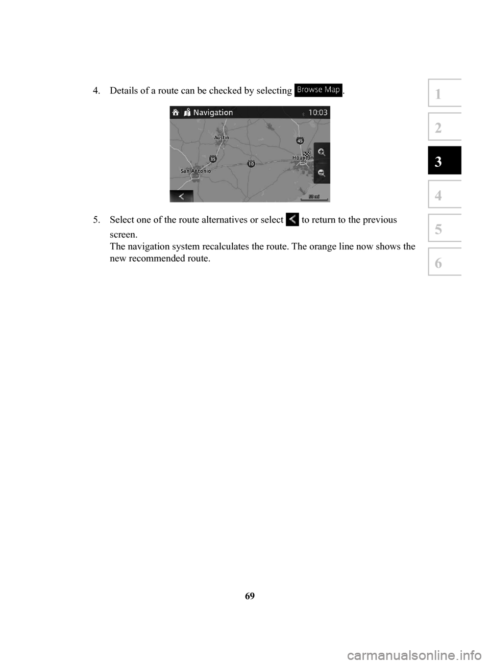
4. Details of a route can be checked by selecting .
5. Select one of the route alternatives or select to return to the previous
screen.
The navigation system recalculates the route. The orange line now shows the
new recommended route.
NAV-999VU1E.indb 692016/03/24 17:26:19
Page 69 of 91
70
3.3.4 Changing
the road types used in route planning
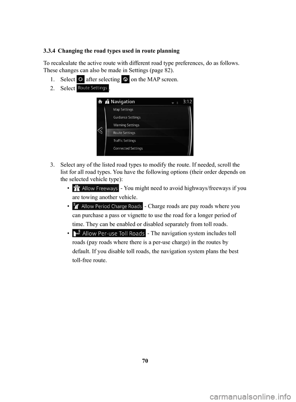
To recalculate the active route with different road type preferences, do as follows.
These changes can also be made in Settings (page 82).
1.
Select after selecting on the MAP screen.
2.
Select .
3. Select any of the listed road types to modify the route. If needed, scroll the
list for all road types. You have the following options (their order depends on
the selected vehicle type): •
- You might need to avoid highways/freeways if you
are towing another vehicle.
•
- Charge roads are pay roads where you
can purchase a pass or vignette to use the road for a longer period of
time. They can be enabled or disabled separately from toll roads.
•
- The navigation system includes toll
roads (pay roads where there is a per-use charge) in the routes by
default. If you disable toll roads, the navigation system plans the best
toll-free route.
NAV-999VU1E.indb 702016/03/24 17:26:19
Page 70 of 91
71
1
2
3
4
5
6
• - The navigation system includes ferries in a
planned route by default. However, a map does not necessarily contain
information about the accessibility of temporary ferries. You might also
need to pay a fare on ferries.
•
- Setting in which routes with carpool lanes
can be created or not created.
•
- A border crossing may be a shorter route
depending on the route. For this function, you can select whether or not
to cross a border when planning the route.
•
- The navigation system excludes
unpaved roads by default: unpaved roads can be in a bad condition and
usually you cannot reach the speed limit on them.
4.
The route has already been recalculated. Select to return to the Map
screen.
Some functions are not available depending on some countries and regions.
NAV-999VU1E.indb 712016/03/24 17:26:20
Page 73 of 91
74
4 Reference Guide
4.1 Concepts
4.1.1 Smart Zoom
Smart Zoom provides much more than just a usual automatic zoom feature:
•
While following a route: when approaching a turn, it will zoom in and raise the
view angle to let you easily recognize your maneuver at the next junction. If the
next turn is at a distance, it will zoom out and lower the view angle to be flat so
you can see the road in front of you.
•
While driving without an active route: Smart Zoom will zoom in if you drive
slowly and zoom out when you drive at high speed.
•
Off: Turns the Smart Zoom setting of
f.
4.1.2 Route
calculation and recalculation
The navigation system calculates the route based on your preferences:
•
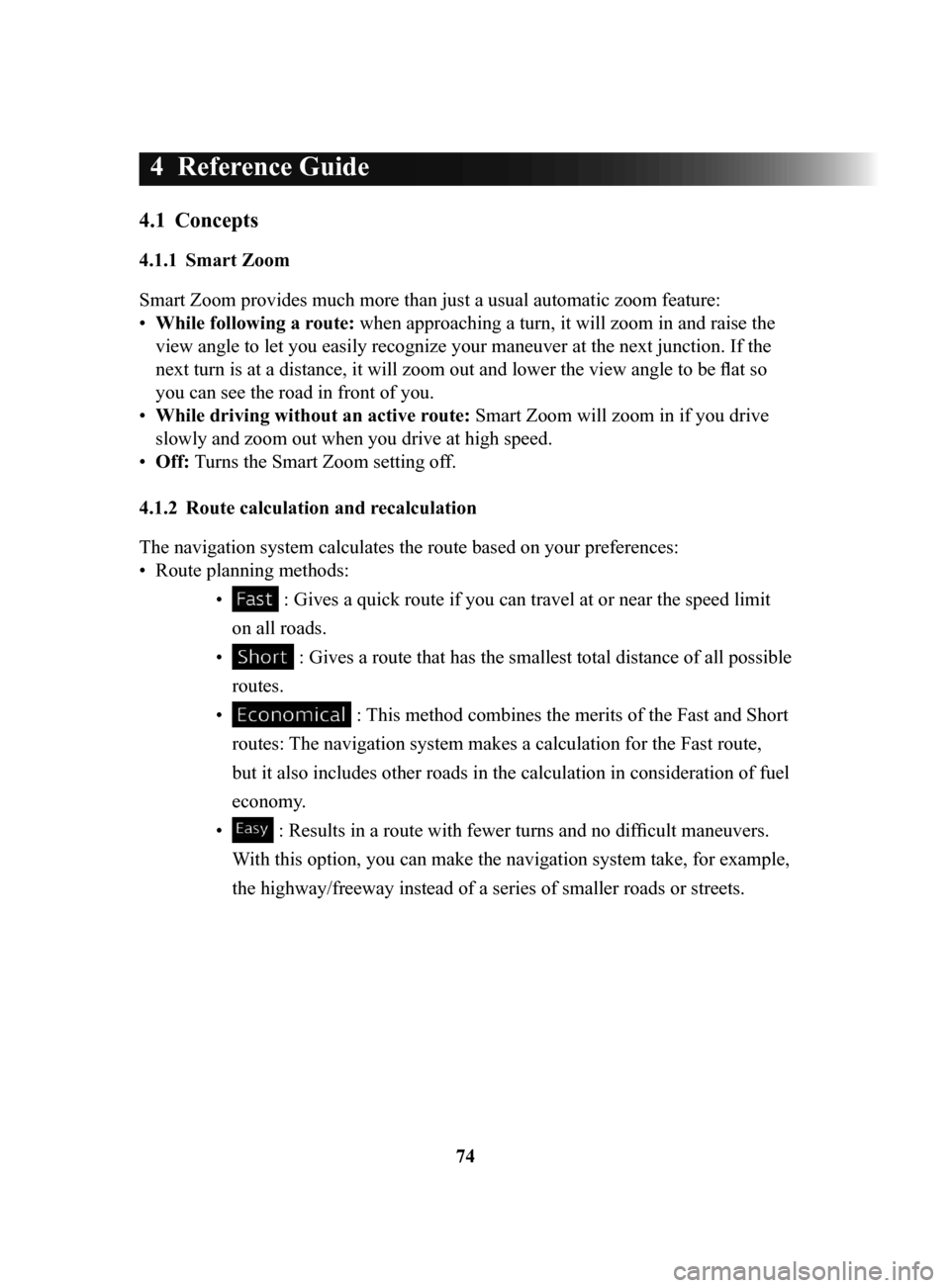
Route planning methods: •
: Gives a quick route if you can travel at or near the speed limit
on all roads.
•
: Gives a route that has the smallest total distance of all possible
routes.
•
: This method combines the merits of the Fast and Short
routes: The navigation system makes a calculation for the Fast route,
but it also includes other roads in the calculation in consideration of fuel
economy.
•
: Results in a route with fewer turns and no difficult maneuvers.
With this option, you can make the navigation system take, for example,
the highway/freeway instead of a series of smaller roads or streets.
NAV-999VU1E.indb 742016/03/24 17:26:20
Page 74 of 91
75
1
2
3
4
5
6
4 Reference Guide
4.1 Concepts
4.1.1 Smart Zoom
Smart Zoom provides much more than just a usual automatic zoom feature:
• While following a route: when approaching a turn, it will zoom in and raise the
view angle to let you easily recognize your maneuver at the next junction. If the
next turn is at a distance, it will zoom out and lower the view angle to be flat so
you can see the road in front of you.
• While driving without an active route: Smart Zoom will zoom in if you drive
slowly and zoom out when you drive at high speed.
• Off: Turns the Smart Zoom setting off.
4.1.2 Route calculation and recalculation
The navigation system calculates the route based on your preferences:
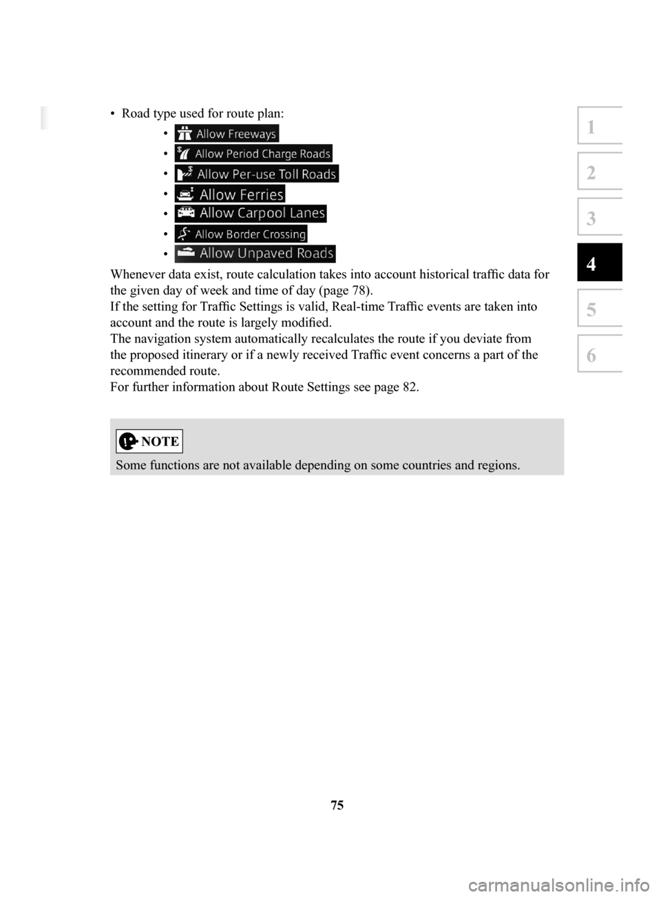
• Route planning methods:
• : Gives a quick route if you can travel at or near the speed limit
on all roads.
• : Gives a route that has the smallest total distance of all possible
routes.
• : This method combines the merits of the Fast and Short
routes: The navigation system makes a calculation for the Fast route,
but it also includes other roads in the calculation in consideration of fuel
economy.
• : Results in a route with fewer turns and no difficult maneuvers.
With this option, you can make the navigation system take, for example,
the highway/freeway instead of a series of smaller roads or streets.
• Road type used for route plan: •
•
•
•
•
•
•
Whenever data exist, route calculation takes into account historical traffic data for
the given day of week and time of day (page 78).
If the setting for Traffic Settings is valid, Real-time Traffic events are taken into
account and the route is largely modified.
The navigation system automatically recalculates the route if you deviate from
the proposed itinerary or if a newly received Traffic event concerns a part of the
recommended route.
For further information about Route Settings see page 82.
Some functions are not available depending on some countries and regions.
NAV-999VU1E.indb 752016/03/24 17:26:20