Not start MERCEDES-BENZ B-Class 2016 W246 Comand Manual
[x] Cancel search | Manufacturer: MERCEDES-BENZ, Model Year: 2016, Model line: B-Class, Model: MERCEDES-BENZ B-Class 2016 W246Pages: 246, PDF Size: 6.73 MB
Page 84 of 246
If you selectNo, the search is canceled.
XSelect the gas station.
The address of the gas station is displayed.
XTo selectStart: press the controller.
The gas station selected is set in the inter-
mediate destinations menu as the next
intermediate destination not yet reached.
Route guidance begins.
Entering a destination from
Mercedes-Benz Apps
Requirement (USA): mbrace is activated for
the Mercedes-Benz Apps (
Ypage 150).
Requirement (Canada): a mobile phone is
connected via Bluetooth
®(Ypage 114) or
USB (
Ypage 197) with COMAND.
XTo switch to navigation mode: press the
Ø button.
XTo show the menu: slide6the control-
ler.
XTo select Destination: turn and press the
controller.
XSelect From Mercedes-Benz Apps.
The list of Mercedes-Benz Apps appears.
Using geo-coordinates
XTo switch to navigation mode: press the
ß button.
XTo show the menu: slide6the control-
ler.
XTo select Destination: turn and press the
controller.
XSelect Using Geo-Coordinates.
Geo-coordinates are entered in degrees,
minutes and seconds.
XTo enter the latitude and longitude coor-
dinates: turn the controller to change the
value.
XTo move the selection within the line: slide
1 the controller.
XTo move the selection between lines: slide
4the controller.
XTo confirm the value: press the controller.
XTo save a destination: to select Save: turn
and press the controller.
The destination can be stored as:
Ra home address in the address book
Ra navigable address book contact
For further information on the address
book, see (
Ypage 128)
Ra personal destination on the SD memory
card (
Ypage 99)
Starting route calculation
XTo select Start Route Guidance: turn
and press the controller.
Personal POIs and routes
General notes
The use of personal POIs for displaying traffic surveillance equipment is not permitted in
every country. Please observe the country-
specific regulations and always drive at a suit-
able speed.
Personal POIs are filed in categories:
RNot Classified
Standard entry for personal POIs
RMercedes-Benz Apps
Personal POIs (destinations, routes) that
you have imported via the online functions
RCategories which you have created your-
self, e.g. on your PC
Personal routes are not categorized.
82Personal POIs and routes
Navigation
Page 86 of 246

Saving personal POIs and routes
General notes
Personal POIs and routes are geodata which
are saved in the open GPX (GPS Exchange)
format on the SD memory card.
Personal POI from current vehicle posi-
tion or crosshair position
XInsert the SD memory card (Ypage 185).
XTo switch to navigation mode: press the
ß button.
XWhen the map is displayed, press the con-
troller until a message appears.
The current vehicle position is saved to the
Not
Classifiedcategory on the SD mem-
ory card and also stored in the "Last desti-
nations" memory (
Ypage 99).
If the "Move map" function is selected
(
Ypage 66), the crosshair position is saved.
iIf no SD memory card is inserted, the per-
sonal POI will only be stored in the "Last
destinations" memory.
Personal POI from destination address
XInsert the SD memory card (Ypage 185).
XTo switch to navigation mode: press the
ß button.
XCall up the address entry menu and enter
the destination address (
Ypage 69).
XTo select Save: slide6the controller.
XTurn and press the controller.
XTo select ToMemoryCard: turn and press
the controller.
XEnter the name.
XSelect a category.
The current address is saved as a personal
point of interest on the SD memory card.
iYou can select a destination from the
From Previous Destinations
or From
Contactsmemories and save it on the SD
memory card.
RFrom Previous Destinations
(Ypage 74)
RFrom Contacts(Ypage 74)
Personal route from a tour including
intermediate destinations
XInsert the SD memory card (Ypage 185).
XTo switch to navigation mode: press the
ß button.
XEnter a destination, e.g. by address
(
Ypage 69).
XStart route calculation (Ypage 71).
XCreate intermediate destinations
(
Ypage 79).
XTo select SaveAsPersonalRoutein the
intermediate destinations menu: turn and
press the controller.
The route is saved in the Personal
Routes
folder on the SD memory card.
Importing personal POIs and routes
via Mercedes-Benz Apps
You can use Mercedes-Benz Apps (e.g. Down-
load POI, Local Search) to import destinations
to the navigation system. These have their
own symbol and are filed in the Mercedes-
Benz Appscategory.
You can save the imported destinations and
routes as personal POIs and routes
(
Ypage 84).
When importing routes, please note:
RThe Mercedes-Benz Apps may generate a
route based on a different map from the
one used by COMAND. Points on the route
may therefore be situated off the digital
roads. For this reason an imported route
commenced in COMAND may deviate from the original route from the Mercedes-Benz
Apps.
RThe Mercedes-Benz Apps minimize the
number of route points offered. For this
reason an imported route commenced in
84Personal POIs and routes
Navigation
Page 88 of 246
XTo select the outward and return
routes:to select Swap
: turn and press the
controller.
The starting and destination positions of
your personal route, and thus the direction
for route guidance, are switched round.
One-way streets or restricted intersections are taken into consideration. Therefore, the
outward and return routes may differ from
each other.
XTo save a personal POI: to selectSave:
turn and press the controller.
XTo continue saving (Ypage 98).
XTo start route guidance: to selectStart:
turn and press the controller.
Recording the route
General notes
When recording the route, bear in mind the
following:
Rif the SD memory card is inserted, it must
not be removed during recording.
Rif route recording is started manually, it
must be finished manually before COMAND
is switched off (e .g. when the engine is
switched off).
RCOMAND minimizes the number of route
points recorded. Therefore when the recor-
ded route is subsequently commenced, it
may differ from the route that was originally
recorded.
Starting/finishing route recording
XInsert the SD memory card (Ypage 185).
XTo switch to navigation mode: press the
ß button.
XTo show the menu: slide6the control-
ler.
XTo select Destination: turn and press the
controller.
XSelect From Memory Card.
XSelectStart Route Recording.
The route is recorded and REC
appears at
the bottom edge of the screen.
XTo stop recording, select End Route
Recordingfrom the menu.
The route is stored under Personal
Routes.
Displaying/editing the recorded route
XInsert the SD memory card (Ypage 185).
XTo switch to navigation mode: press the
ß button.
XTo show the menu: slide6the control-
ler.
XTo select Destination: turn and press the
controller.
XSelect From Memory Card.
XSelectPersonal Routes.
Previously recorded routes are displayed.
XTo select a route: turn and press the con-
troller.
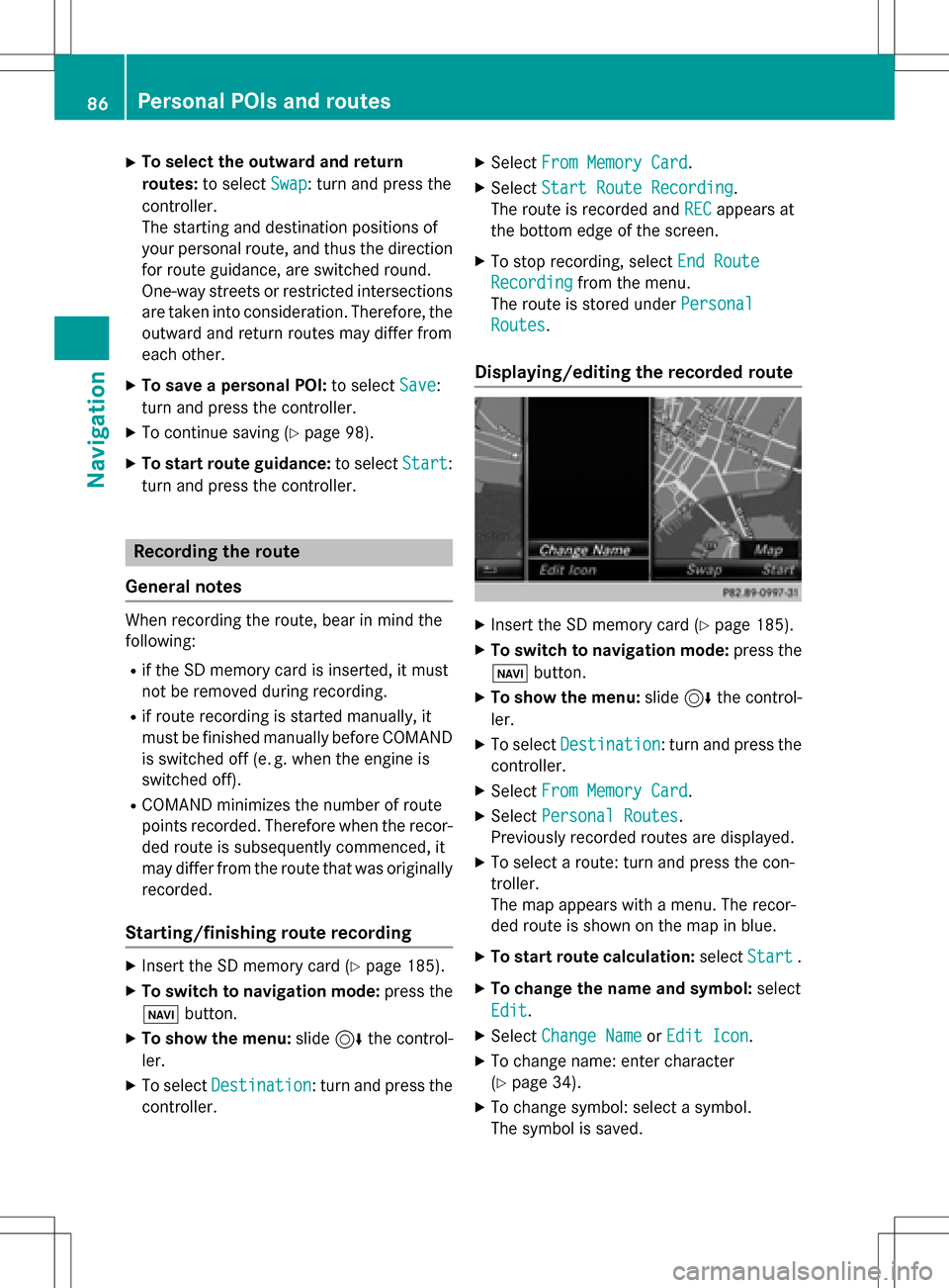
The map appears with a menu. The recor-
ded route is shown on the map in blue.
XTo start route calculation: selectStart.
XTo change the name and symbol: select
Edit
.
XSelect Change NameorEdit Icon.
XTo change name: enter character
(
Ypage 34).
XTo change symbol: select a symbol.
The symbol is saved.
86Personal POIs and routes
Navigation
Page 95 of 246
Where am I?
XTo switch to navigation mode:press the
Ø button.
XTo show the menu: slide6the control-
ler.
XTo select Position: turn and press the
controller.
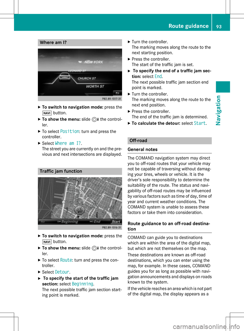
XSelect Where am I?.
The street you are currently on and the pre-
vious and next intersections are displayed.
Traffic jam function
XTo switch to navigation mode: press the
Ø button.
XTo show the menu: slide6the control-
ler.
XTo select Route: turn and press the con-
troller.
XSelect Detour.
XTo specify the start of the traffic jam
section: selectBeginning
.
The next possible traffic jam section start-
ing point is marked.
XTurn the controller.
The marking moves along the route to the
next starting position.
XPress the controller.
The start of the traffic jam is set.
XTo specify the end of a traffic jam sec-
tion: select End
.
The next possible traffic jam section end
point is marked.
XTurn the controller.
The marking moves along the route to the
next end position.
XPress the controller.
The end of the traffic jam is determined.
XTo calculate the detour: selectStart.
Off-road
General notes
The COMAND navigation system may direct
you to off-road routes that your vehicle may
not be capable of traversing without damag-
ing your tires, wheels or vehicle. It is the
driver’s sole responsibility to determine the
suitability of the route. The status and navi-
gability of off-road routes may be influenced
by various factors such as time of day, time of
year and current weather conditions. The
COMAND system is unable to assess these
factors or take them into consideration.
Route guidance to an off-road destina-
tion
COMAND can guide you to destinations
which are within the area of the digital map,
but which are not themselves on the map.
These destinations are known as off-road
destinations, which you can enter using the
map, for example. In these cases, COMAND
guides you for as long as possible with navi-
gation announcements and displays on roads
known to the system.
If the vehicle reaches an area which is not part
of the digital map, the display appears as a
Route guidance93
Navigation
Z
Page 96 of 246
split-screen view. On the right, an arrow
appears that points to the off-road destina-
tion. You hear the announcement: "Please
follow the arrow on the display". As the vehi-
cle approaches the destination, you will see a
display to this effect.
Route guidance from an off-road loca-
tion to a destination
Off-road location: the vehicle's position is on
the digital map, but the map does not containany information about that location.
COMAND is able to guide you to a destination
even from an off-road location.
At the start of route guidance, you will see the
Road Not Mapped
message, an arrow and
the distance to the destination. The arrow
shows the compass heading to the actual
destination.
As soon as the vehicle is back on a road
known to the system, route guidance contin-
ues in the usual way.
Off-road during route guidance
Due to road construction, for example, there
may be differences between the data on the
digital map and the actual course of the road.
In such cases, the system will temporarily be unable to locate the vehicle position on the
digital map. The vehicle is therefore in an off-
road position.
In the display, you will then see the Road
Not
Mappedmessage, an arrow and the distance
to the destination. The direction arrow shows
the compass heading to the destination.
As soon as the system can assign the vehicle
position to the map again, route guidance
continues in the usual way.
Real-time traffic reports
Prerequisites
This function is currently not available for
Canada. In order to receive real-time traffic reports via
satellite radio, you need to subscribe to SIR-
IUS XM Satellite Radio Traffic Message Ser-
vice.
Further information on satellite radio
(
Ypage 172).
COMAND can receive traffic reports via sat-
ellite radio and take account of these for
route guidance in the navigation system.
Received traffic reports are displayed on the
map either as text or as symbols.
Real-time traffic reports on the map
COMAND can show certain traffic messages
on the map with symbols (type of incident)
and color lines (extent). Traffic reports are
shown on the map at scales of 1/32 mi to
10 mi.
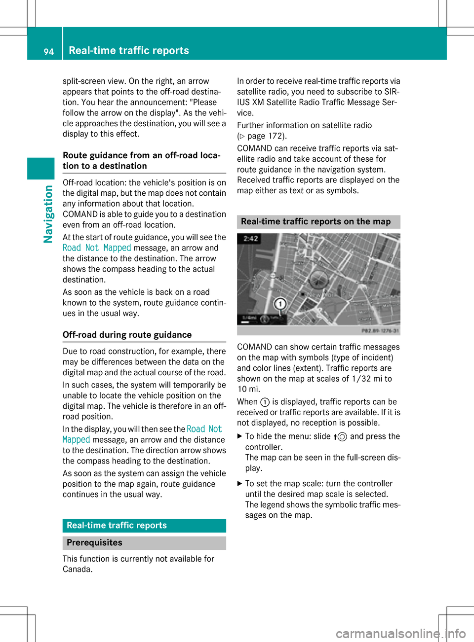
When :is displayed, traffic reports can be
received or traffic reports are available. If it is
not displayed, no reception is possible.
XTo hide the menu: slide 5and press the
controller.
The map can be seen in the full-screen dis-
play.
XTo set the map scale: turn the controller
until the desired map scale is selected.
The legend shows the symbolic traffic mes-
sages on the map.
94Real-time traffic reports
Navigation
Page 109 of 246
digital map. The update will be completed
more quickly if the vehicle is stationary. If you
start the update with the engine switched off
and the starter battery has insufficient power,
COMAND may automatically switch off. This
protects the battery. In order to prevent this,
a suitable power supply to the vehicle must be
maintained.
Navigation functions
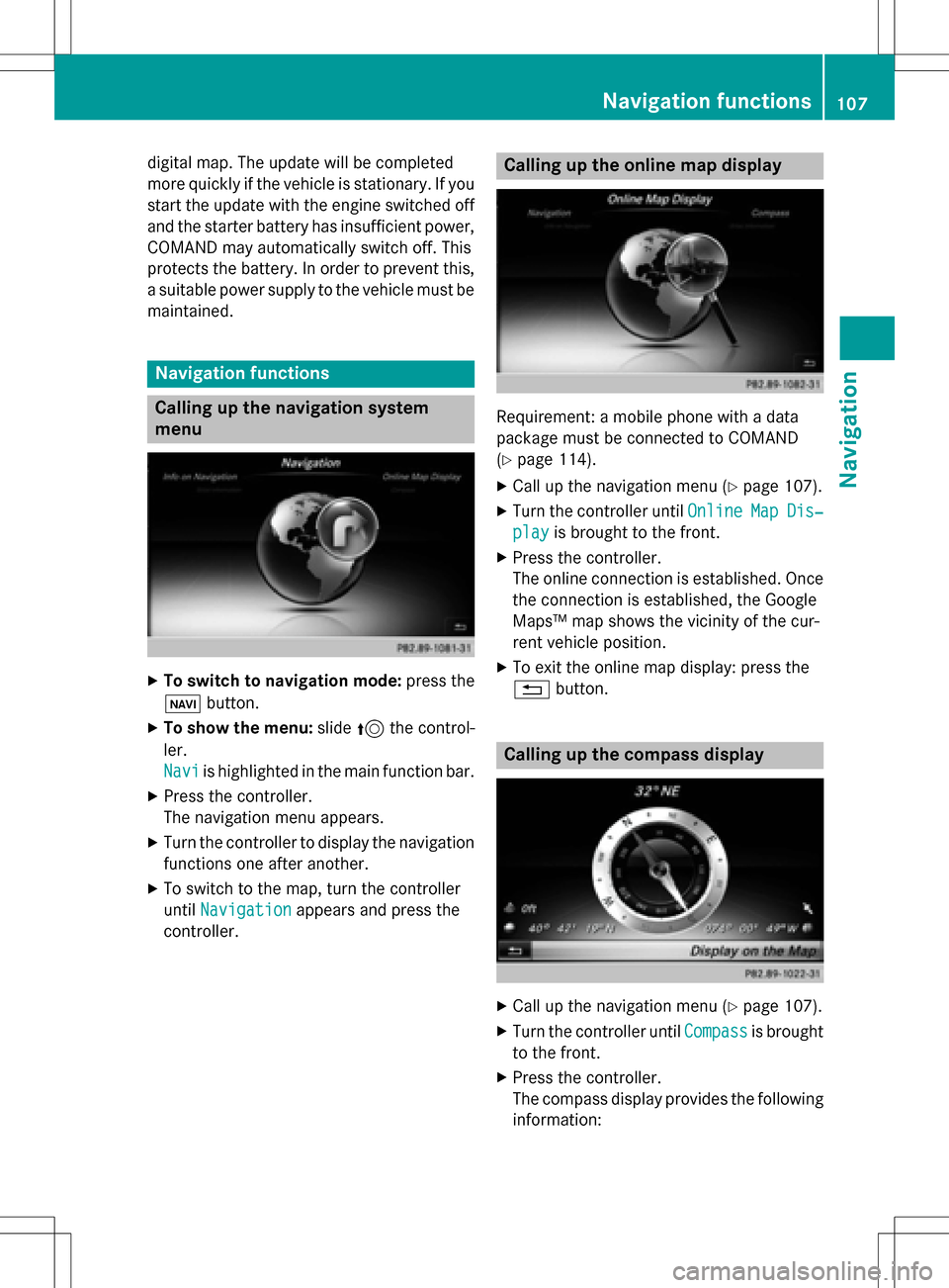
Calling up the navigation system
menu
XTo switch to navigation mode: press the
ß button.
XTo show the menu: slide5the control-
ler.
Navi
is highlighted in the main function bar.
XPress the controller.
The navigation menu appears.
XTurn the controller to display the navigation
functions one after another.
XTo switch to the map, turn the controller
until Navigation
appears and press the
controller.
Calling up the online map display
Requirement: a mobile phone with a data
package must be connected to COMAND
(
Ypage 114).
XCall up the navigation menu (Ypage 107).
XTurn the controller until OnlineMapDis‐
playis brought to the front.
XPress the controller.
The online connection is established. Once
the connection is established, the Google
Maps™ map shows the vicinity of the cur-
rent vehicle position.
XTo exit the online map display: press the
%button.
Calling up the compass display
XCall up the navigation menu (Ypage 107).
XTurn the controller until Compassis brought
to the front.
XPress the controller.
The compass display provides the following information:
Navigation functions107
Navigation
Z
Page 111 of 246
Problems with the navigation system
ProblemPossible causes/consequences andMSolutions
COMAND does not
resume route guidance
after the journey has
been interrupted.Route guidance is canceled if you interrupt the journey for more
than two hours.
"Interrupting the journey" refers to stopping the vehicle.
"Continuing route guidance" refers to switching COMAND back on
and driving on.
XContinue route guidance manually (Ypage 91).
ProblemPossible causes/consequences andMSolutions
COMAND is unable to
determine the vehicle's
position.COMAND has to redetermine the position of the vehicle if the
vehicle has been transported.
Example:
RAfter transporting the vehicle by ferry
RAfter transporting the vehicle by motorail
XStart the vehicle and pull away.
COMAND determines the vehicle's position. Depending on the
driving situation, this may take some time.
Route guidance may be restricted during the determination of
the vehicle's position.
When positioning is complete, route guidance is resumed with
navigation announcements and route guidance displays.
ProblemPossible causes/consequences andMSolutions
The digital map is not
compatible with the
vehicle software.The data medium containing the digital map cannot be used for the
update.
XTo confirm the message: press the controller.
XRemove the data medium.
XHave the data medium checked at an authorized Mercedes-Benz
Center.
ProblemPossible causes/consequences andMSolutions
COMAND asks for an
activation code during
the map update.The digital map is secured with an activation code.
XConsult an authorized Mercedes-Benz Center.
Problems with the navigation system109
Navigation
Z
Page 117 of 246
Procedure and general information
Authorizing a mobile phone (connect-
ing)
Before using your mobile phone with
COMAND for the first time, you will need to
search for the phone (
Ypage 115) and then
authorize it (
Ypage 116). Depending on the
mobile phone, authorization either takes
place by means of Secure Simple Pairing or by
entering a passkey. COMAND automatically
enables the procedure suited to your mobile
phone. You can recognize Secure Simple Pair-
ing by a code which is displayed in COMAND
and on the mobile phone. You can recognize
the passkey system by the fact that you have to enter a code on the mobile phone and in
COMAND. The mobile phone is connected
automatically after authorization. Further
information about automatically reconnect-
ing authorized mobile phones (
Ypage 117).
If COMAND does not detect your mobile
phone, this may be due to particular security
settings on your mobile phone. You can also
start the search procedure and authorization
on the mobile phone (
Ypage 117).
Device-specific information on authorizing
and connecting Bluetooth
®-capable mobile
phones can be obtained from an authorized
Mercedes-Benz Center or via the Internet at
http://www.mercedes-benz.com/
connect .
You can authorize up to 15 mobile phones.
Only one mobile phone can be connected to
COMAND at any one time for telephony.
De-authorizing (disconnecting) a mobile
phone
The connection is terminated automatically if
you leave the receiver range of COMAND or
deactivate Bluetooth
®on your mobile phone.
If you no longer want the Bluetooth
®connec-
tion to be established automatically, the
mobile phone must be de-authorized (discon-
nected) (
Ypage 118).
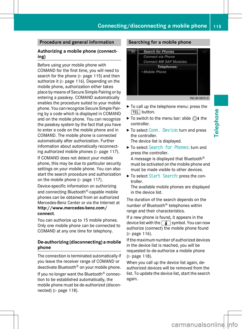
Searching for a mobile phone
XTo call up the telephone menu: press the
% button.
XTo switch to the menu bar: slide 6the
controller.
XTo select Conn. Device: turn and press
the controller.
The device list is displayed.
XTo select Search for Phones: turn and
press the controller.
A message is displayed that Bluetooth
®
must be activated on the mobile phone and
must be made visible to other devices.
XTo select Start Search: press the con-
troller.
The available mobile phones are displayed
in the device list.
The duration of the search depends on the
number of Bluetooth
®telephones within
range and their characteristics.
If a new phone is found, it appears in the
device list with the Ïsymbol. You can now
authorize (connect) the mobile phone found
(
Ypage 116).
If the maximum number of authorized devices
in the device list is reached, you will be
requested to de-authorize a mobile phone
(
Ypage 118).
When you call up the device list again, de-
authorized devices will be removed from the
list. To update the device list, start the search
again.
Connecting/disconnecting a mobile phone115
Telephone
Z
Page 119 of 246
Establishing the connection from the
mobile phone
The Bluetooth®device name of COMAND is
"MB Bluetooth".
XCOMAND: call up the telephone menu.
XTo switch to the menu bar: slide 6the
controller.
XTo select Conn. Device: turn and press
the controller.
The device list is displayed.
XTo select Connect via Phone: turn and
press the controller.
A message is displayed, stating that you
can start the search on your mobile phone.
XMobile phone: start the search for a Blue-
tooth®device (see manufacturer's operat-
ing instructions).
COMAND is displayed with the name "MB
Bluetooth" in the mobile phone's device
list.
XSelect "MB Bluetooth".
A prompt appears in the COMAND display
asking if the mobile phone should be
authorized.
XCOMAND: selectYes.
If No
is selected, the procedure is canceled.
If your mobile phone supports Secure Sim-
ple Pairing, a code is now displayed on both
devices.
The code is the same
XCOMAND: selectYes.
XMobile phone: confirm the code. Depend-
ing on the mobile phone used, you may
have to confirm the connection to
COMAND and for the PBAP and MAP Blue-
tooth
®profiles individually. You may also
save the confirmation on the mobile phone
(see the manufacturer's operating instruc-
tions).
The mobile phone is now authorized and
connected to COMAND. You can now
speak using the hands-free system. To ensure an optimum language quality,
you can set the mobile phone's transmis-
sion and reception volume (
Ypage 118).
The code is different
XCOMAND: selectNo.
The process is canceled. Repeat the pro-
cedure.
If your mobile phone does not support Secure
Simple Pairing, an input menu is displayed for
the passkey. The passkey is a one- to sixteen-
digit number combination which you can
choose yourself. Enter the same passkey on
both COMAND and the mobile phone and
confirm. Depending on the mobile phone
used, you may have to confirm the connection
to COMAND and for the PBAP and MAP Blue-
tooth
®profiles.
Reconnecting automatically
COMAND always searches for the last con-
nected mobile phone.
If no connection can be made to the most
recently connected mobile phone, the system
searches for the mobile phone that was con-
nected before that one.
Switching between mobile phones
If you have authorized more than one mobile
phone, you can switch between the individual
phones.
XTo call up the telephone menu: press the
% button.
XTo switch to the menu bar: slide 6the
controller.
XTo select Conn. Device: turn and press
the controller.
The device list is displayed.
XTo select the desired mobile phone: turn
and press the controller.
The selected mobile phone is connected if
it is within Bluetooth
®range and if Blue-
tooth®is activated.
Connecting/disconnecting a mobile phone117
Telephone
Z
Page 132 of 246

XCallup the address book (Ypage 128).
XTo select a contact: turn and press the con-
troller.
The details for the contact are displayed.
XTo add the desired entry (e.g. AddE-Mail
Address): turn and press the controller.
Dependin g on the type of entry, the corre-
spondin g input menu appears.
XEnter characters using the controller
(
Ypage 33), the number keypad or the
touchpad (
Ypage 27).
XTo finish and save an entry: select b.
Starting route guidance to an address
or geo-coordinates
Ifan addr esswith a ZIP code is save d,the
addr ess can beused for route guidance. Ifthe
ZIP co decannot beassigned to an exact
addr ess, you can adjust the destination sub-
sequent lyusing the controller.
XCall up the address book (Ypage 128).
XTo select a contact: turn and press the con-
troller.
The details for the contact are displayed.
XTo select the address or geo-coordinates:
turn and press the controller.
The navigation menu is displayed.
XTo selectStart: slide6and press the
controller.
The route to the destination address is cal-
culated and route guidance starts.
Making a call
XCall up the address book (Ypage 128).
XTo select a contact: turn and press the con-
troller.
The details for the contact are displayed.
XTo select a telephone number: turn and
press the controller.
The number isdialed. Further information
about the functions during a call
(
Ypage 120).
Sending text messages
XCall up the address book (Ypage 128).
XTo select a contact: turn and press the con-
troller.
The details for the contact are displayed.
XTo highlight the telephone number: turn the controller.
XTo select G: slide 9the controller.
XTo select Send Text Message: turn and
press the controller.
The entry fiel dsfor a text message are dis-
played (
Ypage 141).
Observe the requirements for the message
function (
Ypage 138).
Sending an e-mail
XCall up the address book (Ypage 128).
XSe lect an entry: turn and press the control-
ler.
The details for the contact are displayed.
XTo select an e-mail address: turn and press
the controller.
The entry fiel dsfor an e-mail are displayed
(
Ypage 142).
Observe the requirements for the message
function (
Ypage 138).
Displaying sub-entry information
XCall up the address book (Ypage 128).
XSe lect an entry: turn and press the control-
ler.
The details for the contact are displayed.
XTo highlight the desired entry: turn the con-
troller.
XTo select G: slide 9the controller.
XTo select Details: turn and press the con-
troller.
The displayisshown in full.
XTo close the detailed display: press the
% button.
130Address book
Telephone