tire type NISSAN ARMADA 2004 1.G Navigation Manual
[x] Cancel search | Manufacturer: NISSAN, Model Year: 2004, Model line: ARMADA, Model: NISSAN ARMADA 2004 1.GPages: 184, PDF Size: 4.16 MB
Page 27 of 184

Where am I?key:
Displays the street where the vehicle is currently
located, the previous street, and the upcoming
street.
Please refer to “Where am I” on page 5-44.
Cancel Guidancekey:
Cancels the route guidance.
Please refer to “Cancel guidance” on page 5-45.
Route Infokey:
Displays the route to the destination. There are
three types of display methods.
c
Complete Routekey:
Displays the entire route from the current lo-
cation to the destination.
Please refer to “Displaying the complete
route to the destination” on page 11-10.
c
Turn Listkey:
Displays a list of the guidance points for the
entire route to the destination on a simple
map.
Please refer to “Displaying turn list” on page
11-11.c
Route Simulationkey:
Performs a simulation drive on the map
screen by moving a vehicle icon on all the
routes from the current location to the
destination.
Please refer to “Requesting the simulation
drive to the destination” on page 11-13.
Edit Routekey:
Resets the set destination (waypoint) .
Please refer to “Making the system guide the
route with detailed options” on page 5-31.
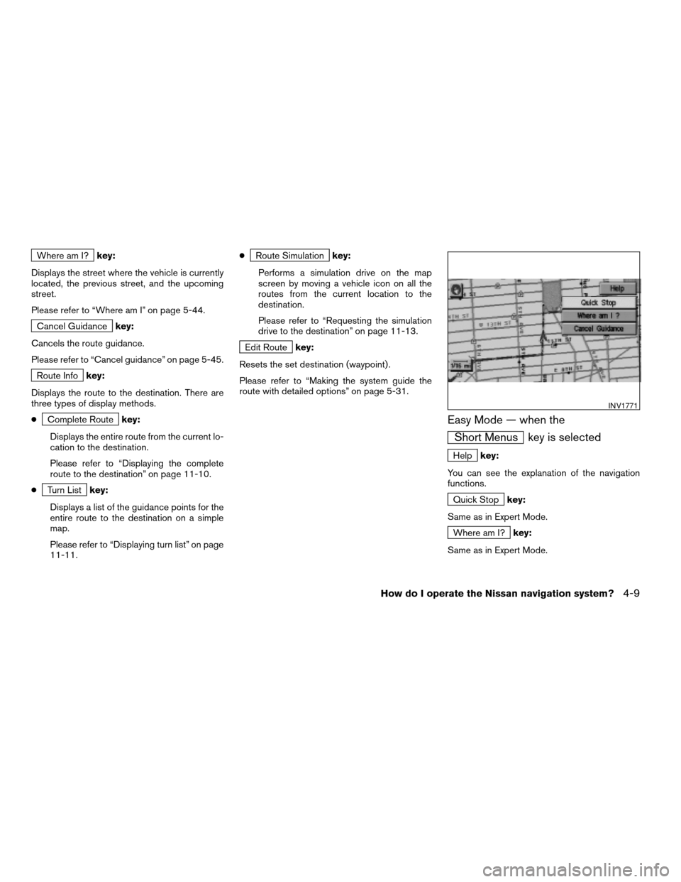
Easy Mode — when the
Short Menus key is selected
Helpkey:
You can see the explanation of the navigation
functions.
Quick Stopkey:
Same as in Expert Mode.
Where am I?key:
Same as in Expert Mode.
INV1771
How do I operate the Nissan navigation system?4-9
ZREVIEW COPY:Ð2004 Pathfinder Armada(wzw)
Navigation System OM(navi)ÐUSA English(nna)
02/23/04Ðdebbie
X
Page 38 of 184

– This system makes no distinction be-
tween limited traffic control and total
control (blockage) . It may show a de-
toured route even if the road is usable.
– Even if the freeway preference is set to
OFF, the route may be set on them. To
avoid this, set a waypoint on another
road type and request calculation.
– Even if the preference is set as OFF for a
ferry line, the route may be set on it. To
avoid this, set a waypoint on a road and
request calculation.
– Ferry lines, except those which accept
only pedestrians, bicycles and
motorcycles, are stored in this system.
When using them, take into consider-
ation the travel time required and opera-
tional condition to decide whether to use
them or not.ABOUT THE DISPLAY ERROR
The following cases may affect the display accu-
racy of the vehicle’s position or travel direction.
The accuracy will return to normal if the driving
conditions return to normal:
– When there is a similar road nearby.
– When the vehicle is traveling on a long stretch
of straight road or series of curves with a large
radius.
– When the vehicle is traveling in an area with a
checkerboard road system.
– When the vehicle is making consecutive S
curves.
– When the vehicle is at a large Y-shaped
junction.
– When the vehicle is on a loop bridge.– When the vehicle is on a snow-covered or un-
paved road.
– When the vehicle has made several consecu-
tive turns or zigzags.
– When the vehicle is rotated on a parking lot
turntable while the ignition switch is OFF.
– Immediately after the vehicle is driven out of a
parking garage or underground parking lot.
– When the vehicle has different sizes of tires or
tire chains.
– When the vehicle is moved immediately after
the engine is started.
4-20How do I operate the Nissan navigation system?
ZREVIEW COPY:Ð2004 Pathfinder Armada(wzw)
Navigation System OM(navi)ÐUSA English(nna)
02/23/04Ðdebbie
X