navigation update NISSAN TITAN 2008 1.G 06IT Navigation Manual
[x] Cancel search | Manufacturer: NISSAN, Model Year: 2008, Model line: TITAN, Model: NISSAN TITAN 2008 1.GPages: 217, PDF Size: 6.62 MB
Page 176 of 217

Black plate (28,1)
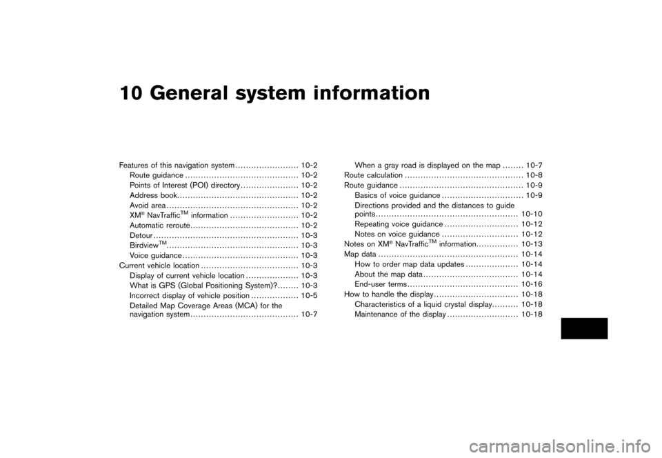
10 General system information
Model "NAV2-N" EDITED: 2007/ 3/ 8
Features of this navigation system........................ 10-2
Route guidance........................................... 10-2
Points of Interest (POI) directory...................... 10-2
Address book.............................................. 10-2
Avoid area.................................................. 10-2
XM
®NavTrafficTMinformation.......................... 10-2
Automatic reroute......................................... 10-2
Detour....................................................... 10-3
Birdview
TM.................................................. 10-3
Voice guidance............................................ 10-3
Current vehicle location..................................... 10-3
Display of current vehicle location.................... 10-3
What is GPS (Global Positioning System)?........ 10-3
Incorrect display of vehicle position.................. 10-5
Detailed Map Coverage Areas (MCA) for the
navigation system......................................... 10-7When a gray road is displayed on the map........ 10-7
Route calculation............................................. 10-8
Route guidance............................................... 10-9
Basics of voice guidance............................... 10-9
Directions provided and the distances to guide
points...................................................... 10-10
Repeating voice guidance............................ 10-12
Notes on voice guidance............................. 10-12
Notes on XM®NavTrafficTMinformation................ 10-13
Map data..................................................... 10-14
How to order map data updates.................... 10-14
About the map data.................................... 10-14
End-user terms.......................................... 10-16
How to handle the display................................ 10-18
Characteristics of a liquid crystal display.......... 10-18
Maintenance of the display........................... 10-18
Page 189 of 217

Black plate (196,1)
Model "NAV2-N" EDITED: 2007/ 3/ 9
— Phoenix, AZ
— Pittsburgh, PA
— Portland, OR*
— Providence - Warwick - Pawtucket, RI
— Sacramento, CA
— San Antonio, TX*
— San Diego, CA
— San Francisco - Oakland, CA
— San Jose, CA
— Seattle - Tacoma, WA
— St. Louis, MO*
— Tampa - St Petersburg - Clearwater, FL
— Washington, DC
— Wilmington, DE
* Without traffic flow information
.Due to road maintenance, infrastructure
problems (e.g. malfunction of road sensors,
outage of central computer of infrastructure)
or natural disasters, there are times when
some or all traffic information may not be
available.
.Incident information is based on human
collection. Not all incidents that have hap-
pened are collected and provided.
.Due to infrastructure problems, or transmis-
sion delay, there are times when theinformation may differ from the actual con-
dition. Always observe safe driving practices
and follow all traffic regulations.
.Due to the coverage and quality of traffic
information and road conditions, it is not
always possible for the system to provide
the shortest time route even when traffic
information is considered.
.Traffic information that is displayed may
differ from information from other media
(e.g., radio) , as other media may use
different information sources.HOW TO ORDER MAP DATA UP-
DATES
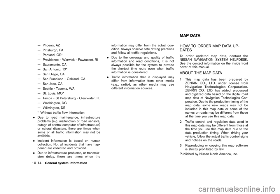
To order updated mapdata, contact the
NISSAN NAVIGATION SYSTEM HELPDESK.
See the contact information on the inside front
cover of this manual.
ABOUT THE MAP DATA
1. This map data has been prepared by
ZENRIN CO., LTD. under license from
Navigation Technologies Corporation.
ZENRIN CO., LTD. has added, processed
and digitized data based on the digital road
map data of Navigation Technologies Cor-
poration. Due to the production timing of the
map data, some new roads may not be
included in this map data or some of the
names or roads may be different from those
at the time you use this map data.
2. Traffic control and regulation data used in
this map data may be different from those at
the time you use this map data due to the
data production timing. When driving your
vehicle, follow the actual traffic control signs
and notices on the roads.
3. Reproducing or copying this map software
is strictly prohibited by law.
Published by Nissan North America, Inc.
MAP DATA
10-14General system information
Page 197 of 217

Black plate (206,1)
Model "NAV2-N" EDITED: 2007/ 3/ 9
Symptom Possible cause Possible solution
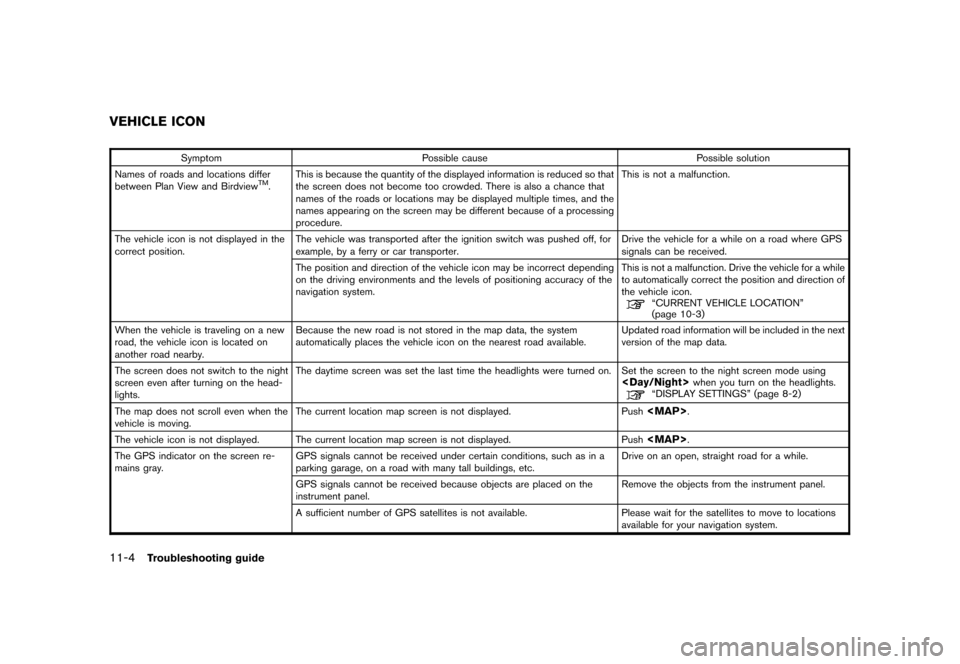
Names of roads and locations differ
between Plan View and Birdview
TM.This is because the quantity of the displayed information is reduced so that
the screen does not become too crowded. There is also a chance that
names of the roads or locations may be displayed multiple times, and the
names appearing on the screen may be different because of a processing
procedure.This is not a malfunction.
The vehicle icon is not displayed in the
correct position.The vehicle was transported after the ignition switch was pushed off, for
example, by a ferry or car transporter.Drive the vehicle for a while on a road where GPS
signals can be received.
The position and direction of the vehicle icon may be incorrect depending
on the driving environments and the levels of positioning accuracy of the
navigation system.This is not a malfunction. Drive the vehicle for a while
to automatically correct the position and direction of
the vehicle icon.
“CURRENT VEHICLE LOCATION”
(page 10-3)
When the vehicle is traveling on a new
road, the vehicle icon is located on
another road nearby.Because the new road is not stored in the map data, the system
automatically places the vehicle icon on the nearest road available.Updated road information will be included in the next
version of the map data.
The screen does not switch to the night
screen even after turning on the head-
lights.The daytime screen was set the last time the headlights were turned on. Set the screen to the night screen mode using
The map does not scroll even when the
vehicle is moving.The current location map screen is not displayed. Push
Page 214 of 217

Black plate (1,1)
A
About route guidance............................. 5-23
About the map data.............................. 10-14
Adding a destination or waypoint................... 5-4
Adding additional destinations to a route........ 4-26
Address book...................................... 10-2
Adjusting the current vehicle location.............. 8-7
Adjusting the location of the destination......... 4-25
Adjusting voice guidance volume................. 2-19
Automatic reroute.................................. 10-2
Avoid area.......................................... 10-2
B
Background color.................................... 8-3
Basics of voice guidance......................... 10-9
Birdview
TM............................... 3-3, 3-7, 10-3
Brightness............................................ 8-3
Building graphics.................................... 3-3
C
Changing the BirdviewTMangle.................. 3-16
Changing the region................................. 4-3
Changing the scale of a map....................... 3-9
Character (letter and number) input screen..... 2-20
Characteristics of a liquid crystal display....... 10-18
Clock settings...................................... 8-10
Confirming a route............................ 5-3, 5-11
Confirming by simulation.......................... 5-12
Confirming how to use voice commands.......... 9-7
Confirming voice commands................. 2-22, 9-2
Contrast.............................................. 8-3
Control buttons and functions...................... 2-2Control panel......................................... 2-2
Current location map screen...................... 2-11
Current vehicle location........................... 10-3
Customer assistance.............................. 11-2
Customizing nearby places......................... 8-5
D
Deleting a route.................................... 2-16
Deleting a stored item............................. 6-21
Deleting a stored item individually................ 6-21
Deleting all stored items.......................... 6-22
Deleting an individual item on the map.......... 6-22
Deleting/reactivating a route........................ 5-6
Destination screen................................... 4-2
Detailed Map Coverage Areas (MCA) for the
navigation system.................................. 10-7
Detour.............................................. 10-3
Directions provided and the distances to
guide points....................................... 10-10
Display................................................ 8-3
Display of current vehicle location................ 10-3
Display settings...................................... 8-2
Display urgent traffic information................... 7-6
Displaying how to operate the voice
recognition system................................... 9-2
Displaying landmark icons......................... 3-19
Displaying the AV information on the map
screen................................................ 8-6
E
Editing a route....................................... 5-7
Editing the address book........................... 6-9
Editing the avoid area............................. 6-19
Editing the stored home and location.............. 6-9Editing the stored route........................... 6-17
Editing the stored tracking........................ 6-17
End-user terms.................................... 10-16
Example of touch panel operation................ 2-10
F
Features of this navigation system............... 10-2
For safe operation................................... 1-2
Functions disabled while driving.................... 2-6
G
Giving voice commands........................... 9-10
Guidance screens and preview mode........... 5-24
H
How to handle the display....................... 10-18
How to input letters and numbers................ 2-20
How to order map data updates................ 10-14
How to store your home.......................... 2-12
How to use this manual............................. 1-2
How to view map screen.......................... 2-17
I
Incorrect display of vehicle position.............. 10-5
Info on route.......................................... 7-4
Information screen................................... 7-2
L
Language and unit settings....................... 8-11
Language settings................................. 8-11
Laser product........................................ 1-4
Model "NAV2-N" EDITED: 2007/ 3/ 8