navigation update SKODA OCTAVIA 2008 2.G / (1Z) Amundsen Infotainment Navigation System Manual
[x] Cancel search | Manufacturer: SKODA, Model Year: 2008, Model line: OCTAVIA, Model: SKODA OCTAVIA 2008 2.G / (1Z)Pages: 37, PDF Size: 2.02 MB
Page 13 of 37

Range selector key SETUP11
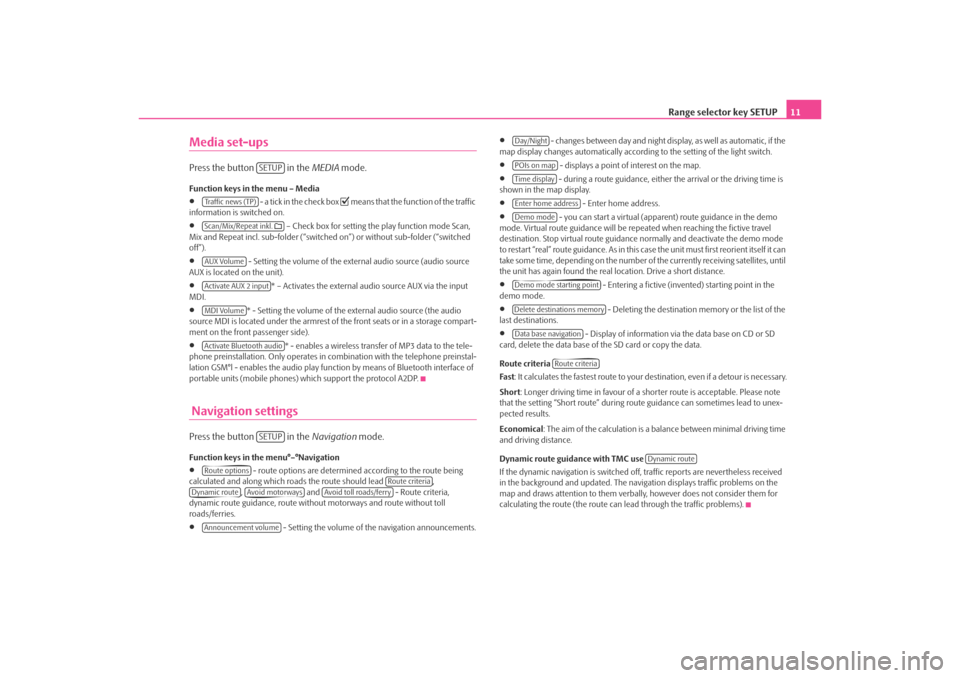
Media set-upsPress the button in the MEDIA mode.Function keys in the menu – Media•
- a tick in the check box
means that the function of the traffic
information is switched on.
•
– Check box for setting the play function mode Scan,
Mix and Repeat incl. sub-folder (“switched on”) or without sub-folder (“switched
off”).
•
- Setting the volume of the external audio source (audio source
AUX is located on the unit).
•
* – Activates the external audio source AUX via the input
MDI.
•
* - Setting the volume of the external audio source (the audio
source MDI is located under the armrest of the front seats or in a storage compart-
ment on the front passenger side).
•
* - enables a wireless transfer of MP3 data to the tele-
phone preinstallation. Only operates in combination with the telephone preinstal-
lation GSM°l - enables the audio play func tion by means of Bluetooth interface of
portable units (mobile phones) which support the protocol A2DP.
Navigation settingsPress the button in the Navigation mode.Function keys in the menu°–°Navigation•
- route options are determined according to the route being
calculated and along which roads the route should lead ,
, and - Route criteria,
dynamic route guidance, route withou t motorways and route without toll
roads/ferries.
•
- Setting the volume of the navigation announcements.
•
- changes between day and night display, as well as automatic, if the
map display changes automatically accordin g to the setting of the light switch.
•
- displays a point of interest on the map.
•
- during a route guidance, either the arrival or the driving time is
shown in the map display.
•
- Enter home address.
•
- you can start a virtual (appare nt) route guidance in the demo
mode. Virtual route guidance will be repeated when reaching the fictive travel
destination. Stop virtual route guidance normally and deactivate the demo mode
to restart “real” route guidance. As in this case the unit must first reorient itself it can
take some time, depending on the number of the currently receiving satellites, until
the unit has again found the real location. Drive a short distance.
•
- Entering a fictive (invented) starting point in the
demo mode.
•
- Deleting the destination memory or the list of the
last destinations.
•
- Display of information via the data base on CD or SD
card, delete the data base of the SD card or copy the data.
Route criteria
Fas t : It calculates the fastest route to your destination, even if a detour is necessary.
Short : Longer driving time in favour of a shorter route is acceptable. Please note
that the setting “Short route” during ro ute guidance can sometimes lead to unex-
pected results.
Economical : The aim of the calculation is a ba lance between minimal driving time
and driving distance.
Dynamic route guidance with TMC use
If the dynamic navigation is switched off, traffic reports are nevertheless received
in the background and updated. The naviga tion displays traffic problems on the
map and draws attention to them verbally , however does not consider them for
calculating the route (the route can lead through the traffic problems).
SETUP
Tra f f i c n e w s ( T P )Scan/Mix/Repeat inkl. AUX VolumeActivate AUX 2 inputMDI VolumeActivate Bluetooth audio
SETUP
Route options
Route criteria
Dynamic route
Avoid motorways
Avoid toll roads/ferry
Announcement volume
Day/NightPOIs on mapTime displayEnter home addressDemo modeDemo mode starting pointDelete destinations memoryData base navigation
Route criteria
Dynamic route
s3lk.book Page 11 Friday, November 7, 2008 11:07 AM
Page 26 of 37

Range selector key NAV (Navigation)
24The GPS satellites will not be able to reac h the aerial once you are in a tunnel or
underground garage. The uni t will orientate itself via the wheel sensors.
Note
All dtns. (country-, village-, road-, special destination names) must be entered
including all country specific (or language-spe cific for points of interest) special
characters.Navigation data, navigation CD and memory cardInserting the navigation CD
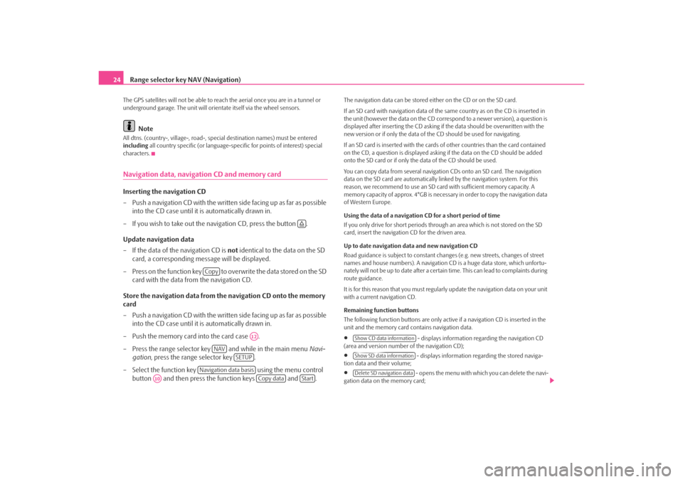
– Push a navigation CD with the written side facing up as far as possible into the CD case until it is automatically drawn in.
– If you wish to take out the na vigation CD, press the button .
Update navigation data
– If the data of the navigation CD is not identical to the data on the SD
card, a corresponding message will be displayed.
– Press on the function key to overwrite the data stored on the SD card with the data from the navigation CD.
Store the navigation data from the navigation CD onto the memory
card
– Push a navigation CD with the written side facing up as far as possible into the CD case until it is automatically drawn in.
– Push the memory card into the card case .
– Press the range selector key and while in the main menu Navi-
gation , press the range selector key .
– Select the function key using the menu control
button and then press the function keys and .
The navigation data can be stored ei ther on the CD or on the SD card.
If an SD card with navigation data of the same country as on the CD is inserted in
the unit (however the data on the CD corr espond to a newer version), a question is
displayed after inserting the CD asking if the data should be overwritten with the
new version or if only the data of th e CD should be used for navigating.
If an SD card is inserted with the cards of other countries than the card contained
on the CD, a question is displayed asking if the data on the CD should be added
onto the SD card or if only the data of the CD should be used.
You can copy data from several navigation CDs onto an SD card. The navigation
data on the SD card are automatically li nked by the navigation system. For this
reason, we recommend to use an SD card with sufficient memory capacity. A
memory capacity of approx. 4°GB is necess ary in order to copy the navigation data
of Western Europe.
Using the data of a navigation CD for a short period of time
If you only drive for short periods through an area which is not stored on the SD
card, insert the navigation CD for the driven area.
Up to date navigation data and new navigation CD
Road guidance is subject to constant changes (e.g. new streets, changes of street
names and house numbers). A navigation CD is a huge data store, which unfortu-
nately will not be up to date after a certain time. This can lead to complaints during
route guidance.
It is for this reason that you must regula rly update the navigation data on your unit
with a current navigation CD.
Remaining function buttons
The following function buttons are only active if a navigation CD is inserted in the
unit and the memory card contains navigation data.•
- displays information regarding the navigation CD
(area and version number of the navigation CD);
•
- displays information regarding the stored naviga-
tion data and their volume;
•
- opens the menu with whic h you can delete the navi-
gation data on the memory card;
Copy
A12
NAV
SETUP
Navigation data basis
A10
Copy data
Start
Show CD data informationShow SD data informationDelete SD navigation data
s3lk.book Page 24 Friday, November 7, 2008 11:07 AM