Signal HONDA ODYSSEY 2014 RC1-RC2 / 5.G Navigation Manual
[x] Cancel search | Manufacturer: HONDA, Model Year: 2014, Model line: ODYSSEY, Model: HONDA ODYSSEY 2014 RC1-RC2 / 5.GPages: 327, PDF Size: 19.96 MB
Page 158 of 327
157
Playing XM® Radio
XM® Radio Service
Audio
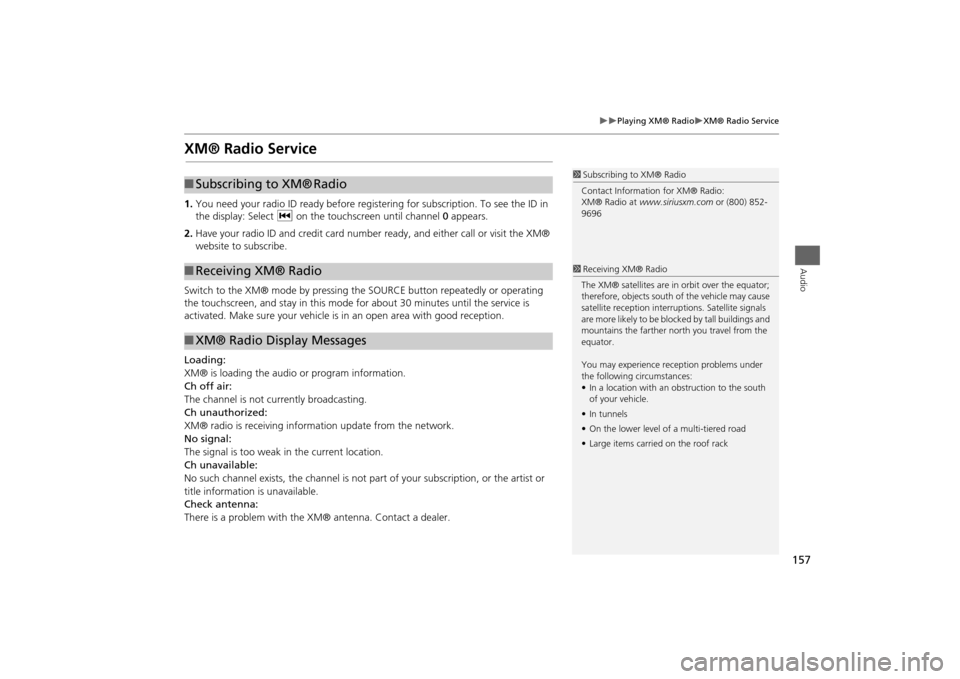
XM® Radio Service1.You need your radio ID ready before registering for subscription. To see the ID in
the display: Select c on the touchscreen until channel 0 appears.
2.Have your radio ID and credit card number ready, and either call or visit the XM®
website to subscribe.
Switch to the XM® mode by pressing the SOURCE button repeatedly or operating
the touchscreen, and stay in this mode for about 30 minutes until the service is
activated. Make sure your vehicle is in an open area with good reception.
Loading:
XM® is loading the audio or program information.
Ch off air:
The channel is not currently broadcasting.
Ch unauthorized:
XM® radio is receiving information update from the network.
No signal:
The signal is too weak in the current location.
Ch unavailable:
No such channel exists, the channel is not part of your subscription, or the artist or
title information is unavailable.
Check antenna:
There is a problem with the XM® antenna. Contact a dealer.
1Subscribing to XM® Radio
Contact Information for XM® Radio:
XM® Radio at www.siriusxm.com or (800) 852-
9696
■Subscribing to XM®
Radio
■Receiving XM® Radio■XM® Radio Display Messages
1Receiving XM® Radio
The XM® satellites are in orbit over the equator;
therefore, objects south of the vehicle may cause
satellite reception interruptions. Satellite signals
are more likely to be blocked by tall buildings and
mountains the farther north you travel from the
equator.
You may experience reception problems under
the following circumstances:
•In a location with an obstruction to the south
of your vehicle.
•In tunnels
•On the lower level of a multi-tiered road
•Large items carried on the roof rack
Page 206 of 327
205
Bluetooth® HandsFreeLink®
Using HFL
Bluetooth® HandsFreeLink®
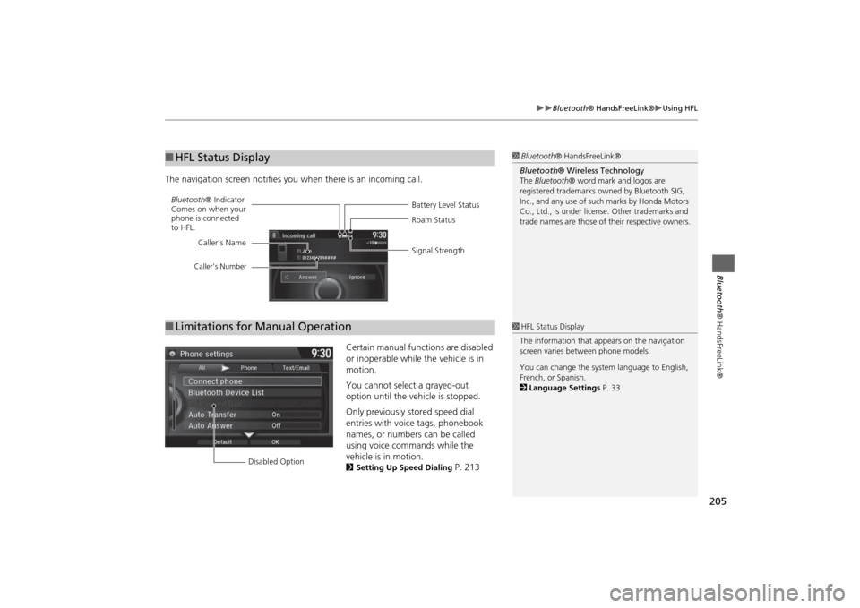
The navigation screen notifies you when there is an incoming call.
Certain manual functions are disabled
or inoperable while the vehicle is in
motion.
You cannot select a grayed-out
option until the vehicle is stopped.
Only previously stored speed dial
entries with voice tags, phonebook
names, or numbers can be called
using voice commands while the
vehicle is in motion.
2Setting Up Speed Dialing
P. 213
■HFL Status Display
1Bluetooth® HandsFreeLink®
Bluetooth® Wireless Technology
The Bluetooth® word mark and logos are
registered trademarks owned by Bluetooth SIG,
Inc., and any use of such marks by Honda Motors
Co., Ltd., is under license. Other trademarks and
trade names are those of their respective owners.
Battery Level Status Bluetooth® Indicator
Comes on when your
phone is connected
to HFL.Roam Status
Signal Strength Caller’s Name
Caller’s Number
■Limitations for Manual Operation
1HFL Status Display
The information that appears on the navigation
screen varies between phone models.
You can change the system language to English,
French, or Spanish.
2Language Settings P. 33
Disabled Option
Page 281 of 327
280
Troubleshooting
Traffic
Troubleshooting
Traffic
Problem
Solution
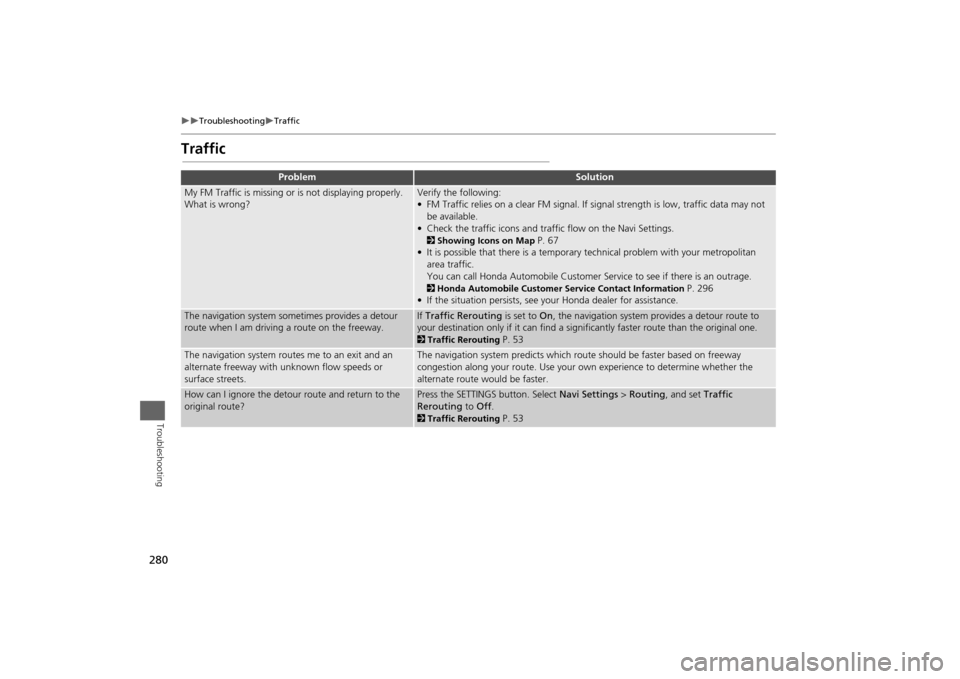
My FM Traffic is missing or is not displaying properly.
What is wrong?
Verify the following:
• FM Traffic relies on a clear FM signal. If signal strength is low, traffic data may not
be available.
• Check the traffic icons and traffic flow on the Navi Settings.2Showing Icons on Map
P. 67
• It is possible that there is a temporary technical problem with your metropolitan
area traffic.
You can call Honda Automobile Customer Service to see if there is an outrage.
2Honda Automobile Customer Service Contact Information
P. 296
• If the situation persists, see your Honda dealer for assistance.
The navigation system sometimes provides a detour
route when I am driving a route on the freeway.
If Traffic Rerouting is set to On, the navigation system provides a detour route to
your destination only if it can find a significantly faster route than the original one. 2Traffic Rerouting
P. 53
The navigation system routes me to an exit and an
alternate freeway with unknown flow speeds or
surface streets.
The navigation system predicts which route should be faster based on freeway
congestion along your route. Use your own experience to determine whether the
alternate route would be faster.
How can I ignore the detour route and return to the
original route?
Press the SETTINGS button. Select Navi Settings > Routing, and set Traffic
Rerouting to Off. 2Traffic Rerouting
P. 53
Page 282 of 327
281
Troubleshooting
Guidance, Routing
Troubleshooting
Guidance, Routing
Problem
Solution
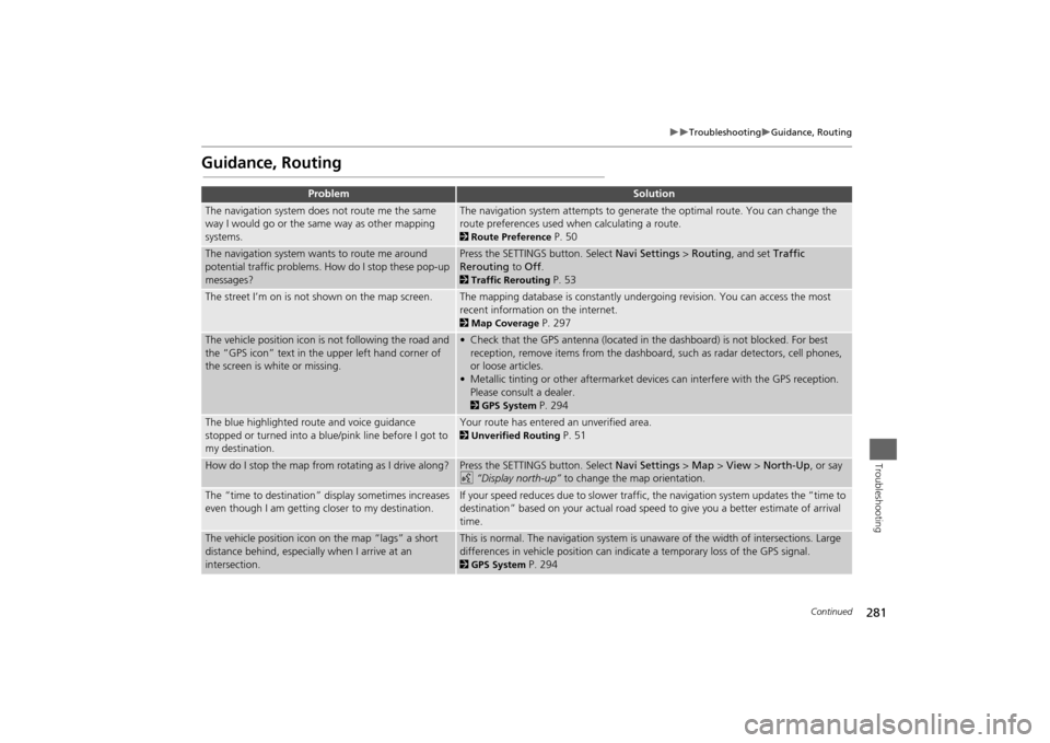
The navigation system does not route me the same
way I would go or the same way as other mapping
systems.
The navigation system attempts to generate the optimal route. You can change the
route preferences used when calculating a route. 2Route Preference
P. 50
The navigation system wants to route me around
potential traffic problems. How do I stop these pop-up
messages?
Press the SETTINGS button. Select Navi Settings > Routing, and set Traffic
Rerouting to Off. 2Traffic Rerouting
P. 53
The street I’m on is not shown on the map screen.
The mapping database is constantly undergoing revision. You can access the most
recent information on the internet. 2Map Coverage
P. 297
The vehicle position icon is not following the road and
the “GPS icon” text in the upper left hand corner of
the screen is white or missing.
• Check that the GPS antenna (located in the dashboard) is not blocked. For best
reception, remove items from the dashboard, such as radar detectors, cell phones,
or loose articles.
• Metallic tinting or other aftermarket devices can interfere with the GPS reception.
Please consult a dealer. 2GPS System
P. 294
The blue highlighted route and voice guidance
stopped or turned into a blue/pink line before I got to
my destination.
Your route has entered an unverified area. 2Unverified Routing
P. 51
How do I stop the map from rotating as I drive along?
Press the SETTINGS button. Select Navi Settings > Map > View > North-Up, or say
d “Display north-up” to change the map orientation.
The “time to destination” display sometimes increases
even though I am getting closer to my destination.
If your speed reduces due to slower traffic, the navigation system updates the “time to
destination” based on your actual road speed to give you a better estimate of arrival
time.
The vehicle position icon on the map “lags” a short
distance behind, especially when I arrive at an
intersection.
This is normal. The navigation system is unaware of the width of intersections. Large
differences in vehicle position can indicate a temporary loss of the GPS signal. 2GPS System
P. 294
Continued
Page 283 of 327
282
Troubleshooting
Guidance, Routing
Troubleshooting
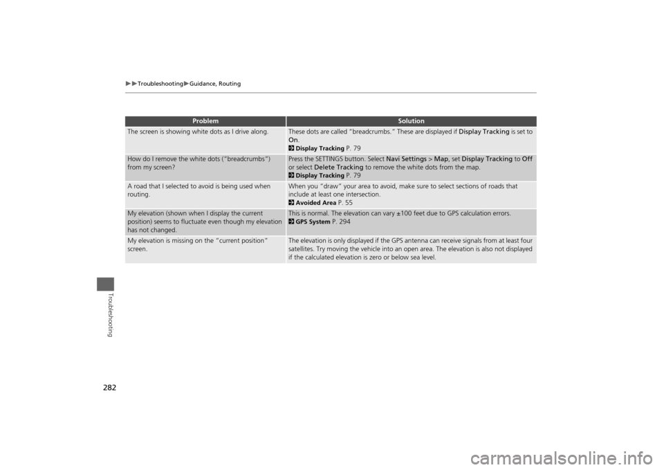
The screen is showing white dots as I drive along.
These dots are called “breadcrumbs.” These are displayed if Display Tracking is set to
On. 2Display Tracking
P. 79
How do I remove the white dots (“breadcrumbs”)
from my screen?
Press the SETTINGS button. Select Navi Settings > Map, set Display Tracking to Off
or select Delete Tracking to remove the white dots from the map. 2Display Tracking
P. 79
A road that I selected to avoid is being used when
routing.
When you “draw” your area to avoid, make sure to select sections of roads that
include at least one intersection. 2Avoided Area
P. 55
My elevation (shown when I display the current
position) seems to fluctuate even though my elevation
has not changed.
This is normal. The elevation can vary ±100 feet due to GPS calculation errors. 2GPS System
P. 294
My elevation is missing on the “current position”
screen.
The elevation is only displayed if the GPS antenna can receive signals from at least four
satellites. Try moving the vehicle into an open area. The elevation is also not displayed
if the calculated elevation is zero or below sea level.
Problem
Solution
Page 295 of 327
294Reference Information
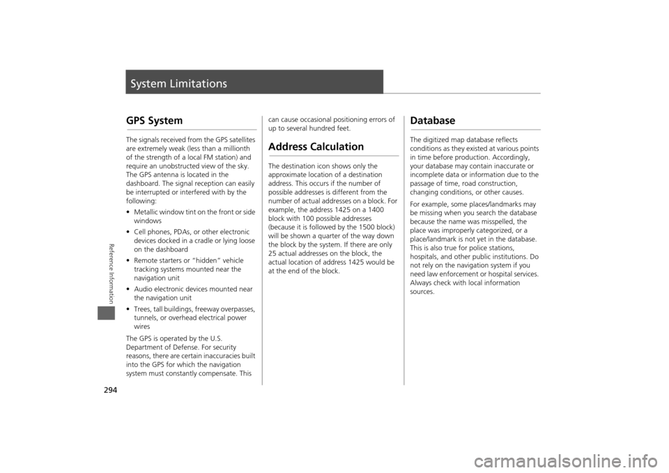
System LimitationsGPS SystemThe signals received from the GPS satellites
are extremely weak (less than a millionth
of the strength of a local FM station) and
require an unobstructed view of the sky.
The GPS antenna is located in the
dashboard. The signal reception can easily
be interrupted or interfered with by the
following:
•Metallic window tint on the front or side
windows
•Cell phones, PDAs, or other electronic
devices docked in a cradle or lying loose
on the dashboard
•Remote starters or “hidden” vehicle
tracking systems mounted near the
navigation unit
•Audio electronic devices mounted near
the navigation unit
•Trees, tall buildings, freeway overpasses,
tunnels, or overhead electrical power
wires
The GPS is operated by the U.S.
Department of Defense. For security
reasons, there are certain inaccuracies built
into the GPS for which the navigation
system must constantly compensate. This can cause occasional positioning errors of
up to several hundred feet.
Address CalculationThe destination icon shows only the
approximate location of a destination
address. This occurs if the number of
possible addresses is different from the
number of actual addresses on a block. For
example, the address 1425 on a 1400
block with 100 possible addresses
(because it is followed by the 1500 block)
will be shown a quarter of the way down
the block by the system. If there are only
25 actual addresses on the block, the
actual location of address 1425 would be
at the end of the block.
DatabaseThe digitized map database reflects
conditions as they existed at various points
in time before production. Accordingly,
your database may contain inaccurate or
incomplete data or information due to the
passage of time, road construction,
changing conditions, or other causes.
For example, some places/landmarks may
be missing when you search the database
because the name was misspelled, the
place was improperly categorized, or a
place/landmark is not yet in the database.
This is also true for police stations,
hospitals, and other public institutions. Do
not rely on the navigation system if you
need law enforcement or hospital services.
Always check with local information
sources.