MERCEDES-BENZ ML430 1997 Complete Repair Manual
Manufacturer: MERCEDES-BENZ, Model Year: 1997, Model line: ML430, Model: MERCEDES-BENZ ML430 1997Pages: 4133, PDF Size: 88.89 MB
Page 1571 of 4133
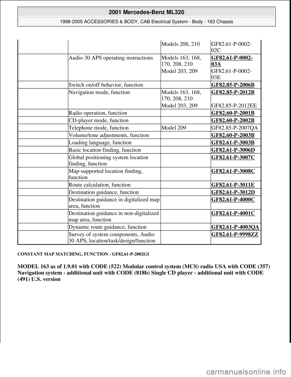
CONSTANT MAP MATCHING, FUNCTION - GF82.61-P-2002GI
MODEL 163 as of 1.9.01 with CODE (522) Modular control system (MCS) radio USA with CODE (357)
Navigation system - additional unit with CODE (818b) Single CD player - additional unit with CODE
(491) U.S. version
Models 208, 210GF82.61-P-0002-
02C
Audio 30 APS operating instructionsModels 163, 168,
170, 208, 210GF82.61-P-0002-
03A
Model 203, 209GF82.61-P-0002-
03E
Switch on/off behavior, function GF82.85-P-2006B
Navigation mode, functionModels 163, 168,
170, 208, 210GF82.85-P-2012B
Model 203, 209GF82.85-P-2012EE
Radio operation, function GF82.60-P-2001B
CD-player mode, function GF82.60-P-2002B
Telephone mode, functionModel 209GF82.85-P-2007QA
Volume/tone adjustments, function GF82.60-P-2003B
Loading language, function GF82.61-P-3003B
Basic location finding, function GF82.61-P-3006D
Global positioning system location
finding, function GF82.61-P-3007C
Map-supported location finding,
function GF82.61-P-3008C
Route calculation, function GF82.61-P-3011E
Destination guidance, function GF82.61-P-3012D
Destination guidance in digitalized map
area, function GF82.61-P-4000C
Destination guidance in non-digitalized
map area, function GF82.61-P-4001C
Dynamic route guidance, function GF82.61-P-4003QA
Survey of system components, Audio
30 APS, location/task/design/function GF82.61-P-9998ZZ
2001 Mercedes-Benz ML320
1998-2005 ACCESSORIES & BODY, CAB Electrical System - Body - 163 Chassis
me
Saturday, October 02, 2010 3:30:05 PMPage 76 © 2006 Mitchell Repair Information Company, LLC.
Page 1572 of 4133
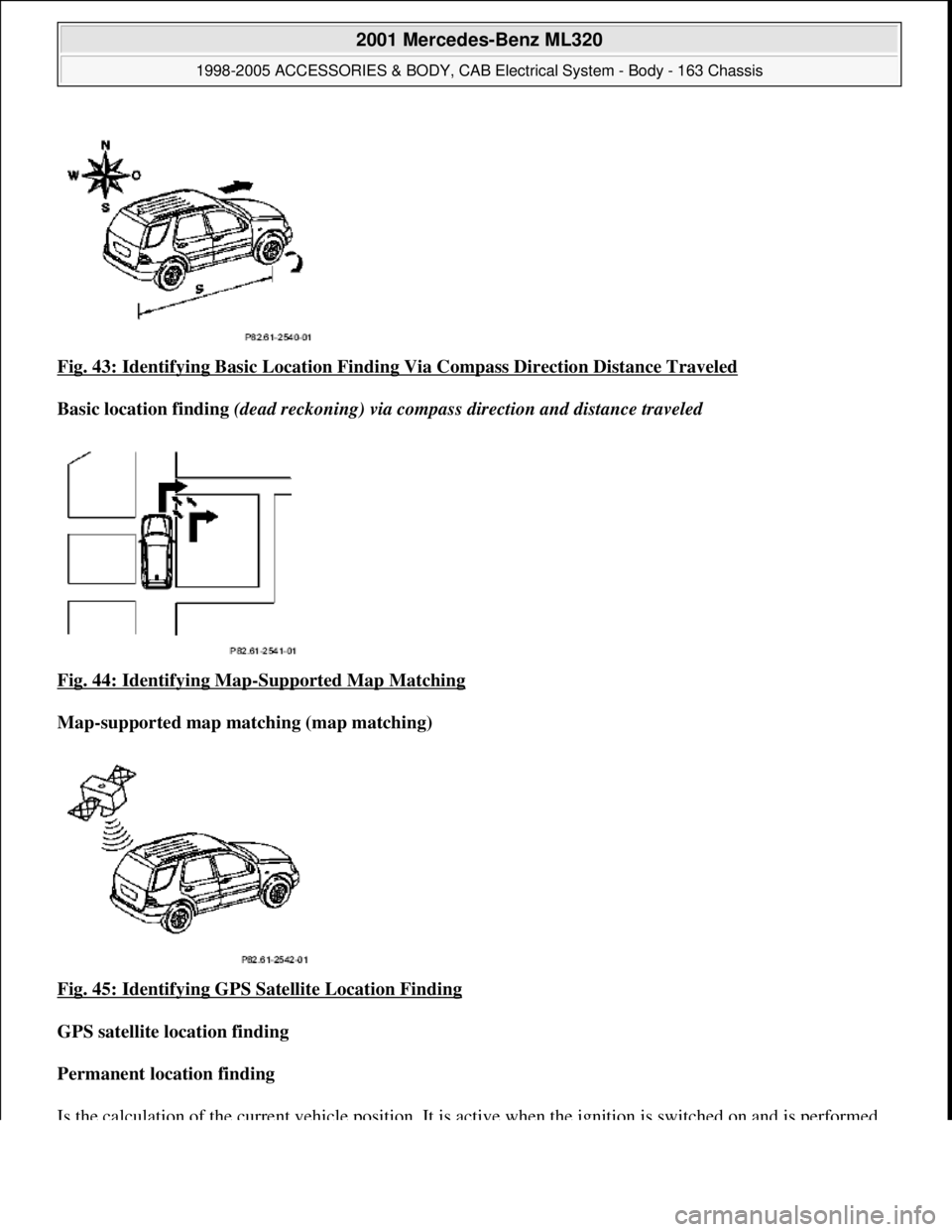
Fig. 43: Identifying Basic Location Finding Via Compass Direction Distance Traveled
Basic location finding (dead reckoning) via compass direction and distance traveled
Fig. 44: Identifying Map
-Supported Map Matching
Map-supported map matching (map matching)
Fig. 45: Identifying GPS Satellite Location Finding
GPS satellite location finding
Permanent location finding
Is the calculation of the current vehi cle position. It is active when the i
gnition is switched on and is performed
2001 Mercedes-Benz ML320
1998-2005 ACCESSORIES & BODY, CAB Electr ical System - Body - 163 Chassis
me
Saturday, October 02, 2010 3:30:05 PMPage 77 © 2006 Mitchell Repair Information Company, LLC.
Page 1573 of 4133
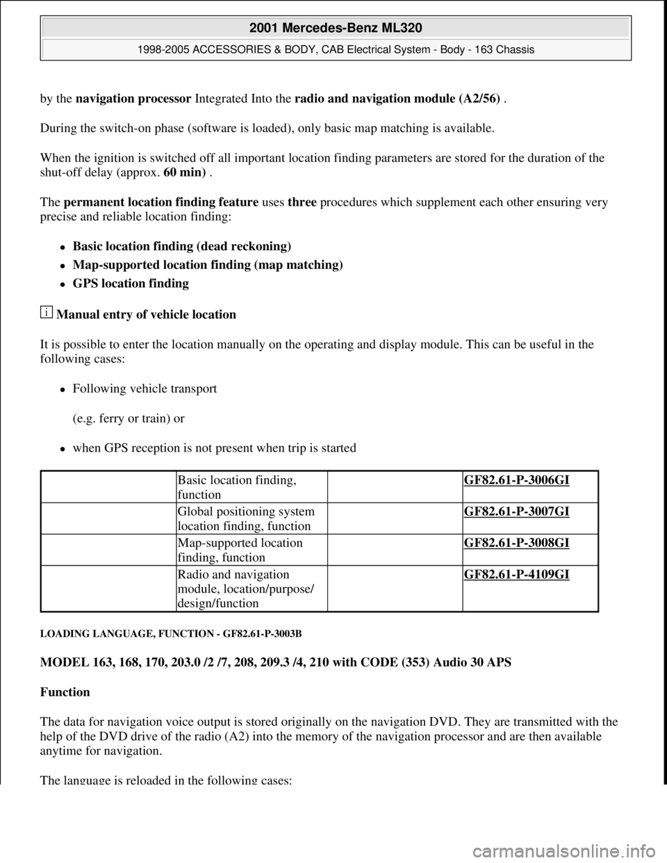
by the navigation processor Integrated Into the radio and navigation module (A2/56) .
During the switch-on phase (software is loaded), only basic map matching is available.
When the ignition is switched off all important location finding parameters are stored for the duration of the
shut-off delay (approx. 60 min) .
The permanent location finding feature uses three procedures which supplement each other ensuring very
precise and reliable location finding:
Basic location finding (dead reckoning)
Map-supported location finding (map matching)
GPS location finding
Manual entry of vehicle location
It is possible to enter the location manually on the operating and display module. This can be useful in the
following cases:
Following vehicle transport
(e.g. ferry or train) or
when GPS reception is not present when trip is started
LOADING LANGUAGE, FUNCTION - GF82.61-P-3003B
MODEL 163, 168, 170, 203.0 /2 /7, 208, 209.3 /4, 210 with CODE (353) Audio 30 APS
Function
The data for navigation voice output is stored originally on the navigation DVD. They are transmitted with the
help of the DVD drive of the radio (A2) into the memory of the navigation processor and are then available
anytime for navigation.
The language is reloaded in the following cases:
Basic location finding,
function GF82.61-P-3006GI
Global positioning system
location finding, function GF82.61-P-3007GI
Map-supported location
finding, function GF82.61-P-3008GI
Radio and navigation
module, location/purpose/
design/function GF82.61-P-4109GI
2001 Mercedes-Benz ML320
1998-2005 ACCESSORIES & BODY, CAB Electrical System - Body - 163 Chassis
me
Saturday, October 02, 2010 3:30:05 PMPage 78 © 2006 Mitchell Repair Information Company, LLC.
Page 1574 of 4133
automatically, after voltage to the radio (A2) was interrupted
manually, by activating the "SPRA" menu in the navigation mode
Loading the language requires approx. 20 s.
If the system is switched off while loading the language, the language data is lost and must be reloaded again.
Avoid strong vibrations to the vehicle (e.g. extremely bumpy roads) while the language is being loaded.
The navigation processor is integrated in the radio (A2).
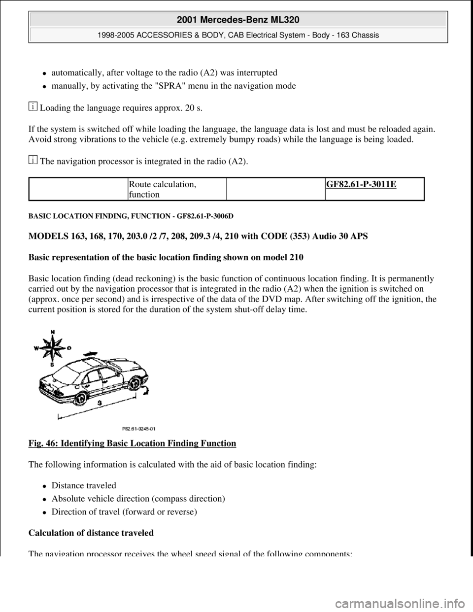
BASIC LOCATION FINDING, FUNCTION - GF82.61-P-3006D
MODELS 163, 168, 170, 203.0 /2 /7, 208, 209.3 /4, 210 with CODE (353) Audio 30 APS
Basic representation of the basic location finding shown on model 210
Basic location finding (dead reckoning) is the basic function of continuous location finding. It is permanently
carried out by the navigation processor that is integrated in the radio (A2) when the ignition is switched on
(approx. once per second) and is irrespective of the data of the DVD map. After switching off the ignition, the
current position is stored for the duration of the system shut-off delay time.
Fig. 46: Identifying Basic Location Finding Function
The following information is calculated with the aid of basic location finding:
Distance traveled
Absolute vehicle direction (compass direction)
Direction of travel (forward or reverse)
Calculation of distance traveled
The navi
gation processor receives the wheel speed signal of the following components:
Route calculation,
function GF82.61-P-3011E
2001 Mercedes-Benz ML320
1998-2005 ACCESSORIES & BODY, CAB Electrical System - Body - 163 Chassis
me
Saturday, October 02, 2010 3:30:05 PMPage 79 © 2006 Mitchell Repair Information Company, LLC.
Page 1575 of 4133
Left rear rpm sensor (L6/3) (model 168)
Wheel speed sensor, left front (L6/1)
Right front rpm sensor (L6/2) (model 208, 210)
Left front rpm sensor (L6/1) and right front rpm sensor (L6/2) (models 203, 209)
The evaluation of the wheel speed signals reveals the mileage covered.
The wheel speed signals of the not driven wheels are evaluated, since their slip between the roadway and tire
is lower, which results in a more accurate result when calculating the mileage.
Calculation of the vehicle orientation
The navigation computer calculates the direction in which the vehicle is traveling (compass direction) from the
data from the gyrosensor and the sequence of locations calculated with the aid of the global positioning system
(GPS). The difference in the calculated mileage and the mileage actually covered between 2 turn-off points is
used to automatically recalibrate the tire circumference (necessary due to tire wear).
Calculation of the direction of motion
The navigation processor recognizes the direction of motion (forward or reverse) from the reverse signal.
Calibration of tire circumference
As a matter of principle, the navigation system recalibrates itself while driving as described. However, this may
require driving a longer distance. After changing tires, manual recalibration should therefore be accomplished.
To do this, it is necessary to enter the tire size (e.g.:195/050/015)and possibly the following information:
new tires (tread depth > approx. 5 mm)
used tires (tread depth < approx. 5 mm)
The entry can be done two different ways:
With aid of STAR DIAGNOSIS.
By calling the "Navigation --> TIRE" menu at the radio (A2)
Errors due to vehicle movement with switched off ignition lead to an inaccurate basic location finding.
Rolling backwards without the reverse gear engaged is evaluated as forwards motion, and may lead to an error
in the location finding. Rolling with the ignition switched off or vehicle transportation also falsify map
matching.
The errors are, however, corrected automatically after a short time by the navigation processor after
receiving GPS data.
A special calibration drive by driving around a defined test path is not ever required.
2001 Mercedes-Benz ML320
1998-2005 ACCESSORIES & BODY, CAB Electrical System - Body - 163 Chassis
me
Saturday, October 02, 2010 3:30:05 PMPage 80 © 2006 Mitchell Repair Information Company, LLC.
Page 1576 of 4133
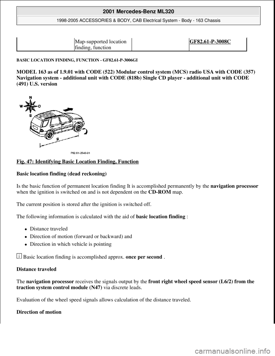
BASIC LOCATION FINDING, FUNCTION - GF82.61-P-3006GI
MODEL 163 as of 1.9.01 with CODE (522) Modular control system (MCS) radio USA with CODE (357)
Navigation system - additional unit with CODE (818b) Single CD player - additional unit with CODE
(491) U.S. version
Fig. 47: Identifying Basic Location Finding, Function
Basic location finding (dead reckoning)
Is the basic function of permanent location finding It is accomplished permanently by the navigation processor
when the ignition is switched on and is not dependent on the CD-ROM map.
The current position is stored after the ignition is switched off.
The following information is calculated with the aid of basic location finding :
Distance traveled
Direction of motion (forward or backward) and
Direction in which vehicle is pointing
Basic location finding is accomplished approx. once per second .
Distance traveled
The navigation processor receives the signals output by the front right wheel speed sensor (L6/2) from the
traction system control module (N47) via discrete leads.
Evaluation of the wheel speed signals allows calculation of the distance traveled.
Direction of motion
Map-supported location
finding, function GF82.61-P-3008C
2001 Mercedes-Benz ML320
1998-2005 ACCESSORIES & BODY, CAB Electrical System - Body - 163 Chassis
me
Saturday, October 02, 2010 3:30:05 PMPage 81 © 2006 Mitchell Repair Information Company, LLC.
Page 1577 of 4133
The navigation processor recognizes the direction of motion (forward or reverse) from the reverse signal.
Direction in which vehicle is pointing
From the data of the gyrosensor and the sequence of the locations calculated with GPS the navigation
processor the calculates the direction in which the vehicle is pointing (compass direction).
The difference between calculated and actual distance traveled between two turning points is used for automatic
recalibration of the tire circumference (required due to tire wear).
Location finding errors during basic location finding
Rolling backwards without the reverse gear engaged is evaluated as forward motion, and may lead to an error in
the location finding.
Rolling with the ignition switched off or vehicle transportation also falsify map matching.
In both cases the deviation is automatically corrected by the navigation processor after receiving GPS data .
Calibration
Wheel calibration is not required following tire change.
GLOBAL POSITIONING SYSTEM LOCATION FINDING, FUNCTION - GF82.61-P-3007C
MODEL 163, 168, 170, 203.0 /2 /7, 208, 209.3 /4, 210 with CODE (353) Audio 30 APS
Basic representation of the GPS location finding shown on model 210
Global positioning system
location finding, function GF82.61-P-3007GI
Map-supported location
finding, function GF82.61-P-3008GI
Guidance, function GF82.61-P-3012GI
Radio and navigation
module, location/purpose/
design/function GF82.61-P-4109GI
2001 Mercedes-Benz ML320
1998-2005 ACCESSORIES & BODY, CAB Electrical System - Body - 163 Chassis
me
Saturday, October 02, 2010 3:30:05 PMPage 82 © 2006 Mitchell Repair Information Company, LLC.
Page 1578 of 4133
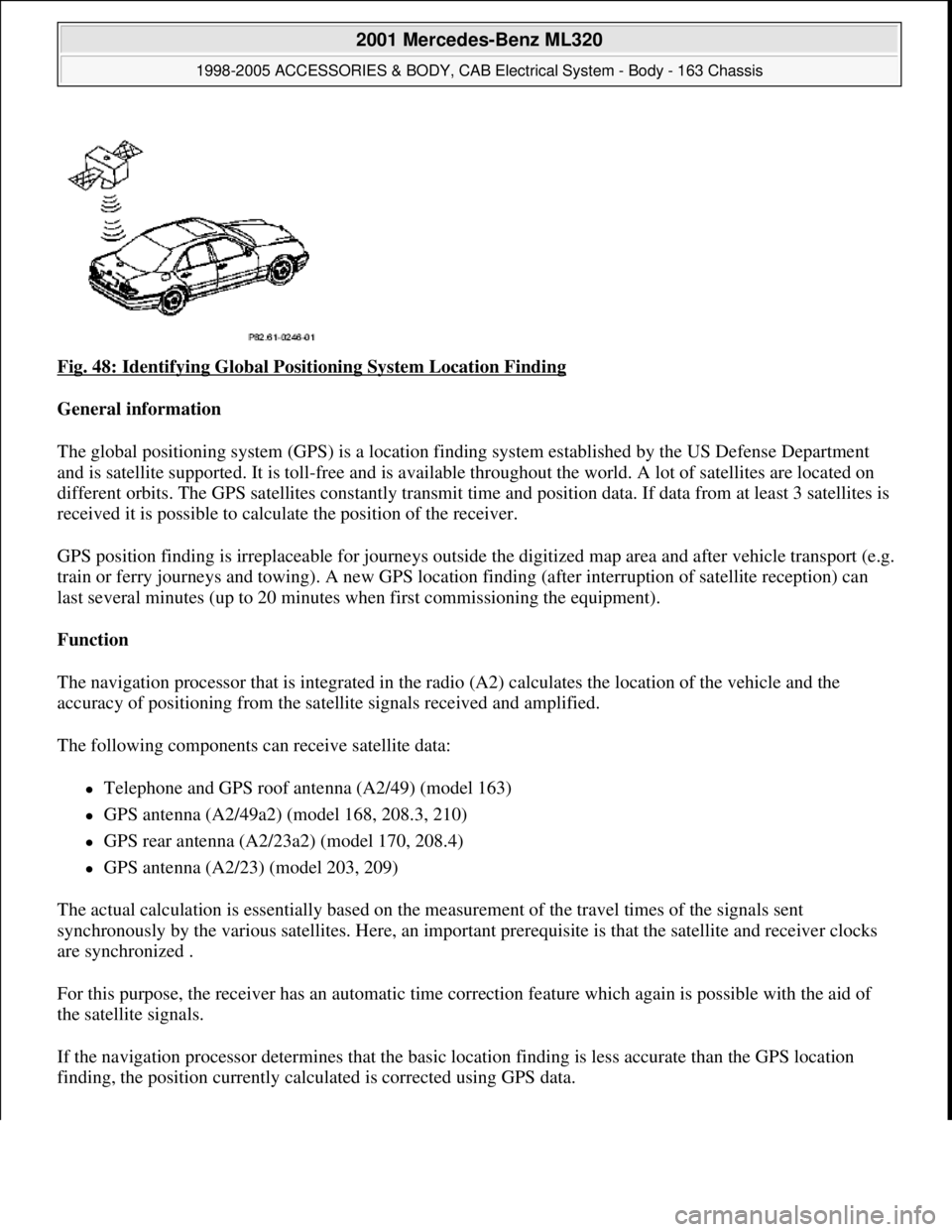
Fig. 48: Identifying Global Positioning System Location Finding
General information
The global positioning system (GPS) is a location finding system established by the US Defense Department
and is satellite supported. It is toll-free and is available throughout the world. A lot of satellites are located on
different orbits. The GPS satellites constantly transmit time and position data. If data from at least 3 satellites is
received it is possible to calculate the position of the receiver.
GPS position finding is irreplaceable for journeys outside the digitized map area and after vehicle transport (e.g.
train or ferry journeys and towing). A new GPS location finding (after interruption of satellite reception) can
last several minutes (up to 20 minutes when first commissioning the equipment).
Function
The navigation processor that is integrated in the radio (A2) calculates the location of the vehicle and the
accuracy of positioning from the satellite signals received and amplified.
The following components can receive satellite data:
Telephone and GPS roof antenna (A2/49) (model 163)
GPS antenna (A2/49a2) (model 168, 208.3, 210)
GPS rear antenna (A2/23a2) (model 170, 208.4)
GPS antenna (A2/23) (model 203, 209)
The actual calculation is essentially based on the measurement of the travel times of the signals sent
synchronously by the various satellites. Here, an important prerequisite is that the satellite and receiver clocks
are synchronized .
For this purpose, the receiver has an automatic time correction feature which again is possible with the aid of
the satellite signals.
If the navigation processor determines that the basic location finding is less accurate than the GPS location
findin
g, the position currently calculated is corrected using GPS data.
2001 Mercedes-Benz ML320
1998-2005 ACCESSORIES & BODY, CAB Electrical System - Body - 163 Chassis
me
Saturday, October 02, 2010 3:30:05 PMPage 83 © 2006 Mitchell Repair Information Company, LLC.
Page 1579 of 4133
In addition, the vehicle's course of travel is determined with the aid of the sequence of the locations calculated
with GPS.
Possible interference when receiving GPS signals
Since GPS operates in the GHz range (microwaves) and the signals are weak, reception interference can occur
as the result of:
atmospheric interference, e.g. weather, water vapor, fog
multiple reception resulting from reflecting of signals, e.g. from building walls
Signal shadows, e.g., in built-up areas, tunnel, in the proximity of higher buildings and trees
GPS reception therefore necessitates a clear view of the sky. The location finding accuracy of the GPS system is
100 m or better.
GLOBAL POSITIONING SYSTEM LOCATION FINDING, FUNCTION - GF82.61-P-3007GI
MODEL 163 as of 1.9.01 with CODE (522) Modular control system (MCS) radio USA with CODE (357)
Navigation system - additional unit with CODE (818b) Single CD player - additional unit with CODE
(491) U.S. version
Fig. 49: Identifying Global Positioning System Location Finding
General
The global positioning system (GPS) is a satellite-supported location findin
g system. It is not subject to fees
GPS/CTEL roof antenna
location/task/design/ functionModels 163,
168,208.3,210GF82.70-P-4111A
Global positioning system antenna,
location/ task/design/functionModels 170, 208.4GF82.61-P-4106A
Models 203, 209.3GF82.61-P-4106E
Model 209.4GF82.61-P-4107Q
Antenna splitter,
location/task/design/functionModel Series 163GF82.85-P-3107B
2001 Mercedes-Benz ML320
1998-2005 ACCESSORIES & BODY, CAB Electrical System - Body - 163 Chassis
me
Saturday, October 02, 2010 3:30:05 PMPage 84 © 2006 Mitchell Repair Information Company, LLC.
Page 1580 of 4133
and is available worldwide . Presently there are 266 satellites on 6 different earth orbits. The GPSsatellites
permanently transmit time and position data. If data from a minimum of 3 satellites is received (with two-
dimensional location finding) it is possible to calculate the position of the receiver.
The GPS location finding is particularly important when driving outside of the digitized map area and
following vehicle transport (e.g. train, ferry or towing).
A repeated GPS location finding (following satellite reception interruption) can take several minutes (when
unit is initially started up to 20 min .).
GPS map matching function
The navigation processor calculates the location of the vehicle and the accuracy of positioning from the
satellite signals received and amplified by the GPS antenna (A2/49) . The current calculation is based
primarily on the measurement of the transmission times for the signals transmitted synchronously by the
various satellites. Here, an important prerequisite is that the satellite and receiver clocks are synchronized . For
this purpose, the receiver has an automatic time correction feature which again is possible with the aid of the
satellite signals. If the navigation processor determines that the basic location finding is less precise than the
GPS location finding, the currently calculated position is corrected with the aid of the GPS data .
Moreover, the vehicle route is determined from the location sequence calculated with GPS .
Approx. 50 new GPS location finding calculations are performed each minute.
Possible interference when receiving GPS signals
Since GPS operates in the GHz (microwave) range and the signals are weak, reception interferences can
occur from
atmospheric interferences, e.g. weather, water vapor, fog,
multiple path reception due to signal reflections, e.g. from building walls
Signal shadows, e.g. in built-up areas, tunnels, high buildings, trees
A free view of the sky is therefore necessary for GPS reception The location finding accuracy is approx. 100
m or better .
Basic location finding,
function GF82.61-P-3006GI
Map-supported location
finding, function GF82.61-P-3008GI
Guidance, function GF82.61-P-3012GI
Radio and navigation
module, location/purpose/
design/function GF82.61-P-4109GI
GPS roof antenna/telephone, GF82.70-P-4111A
2001 Mercedes-Benz ML320
1998-2005 ACCESSORIES & BODY, CAB Electrical System - Body - 163 Chassis
me
Saturday, October 02, 2010 3:30:05 PMPage 85 © 2006 Mitchell Repair Information Company, LLC.