display NISSAN ALTIMA 2007 L32A / 4.G Navigation Manual
[x] Cancel search | Manufacturer: NISSAN, Model Year: 2007, Model line: ALTIMA, Model: NISSAN ALTIMA 2007 L32A / 4.GPages: 240, PDF Size: 3.29 MB
Page 187 of 240

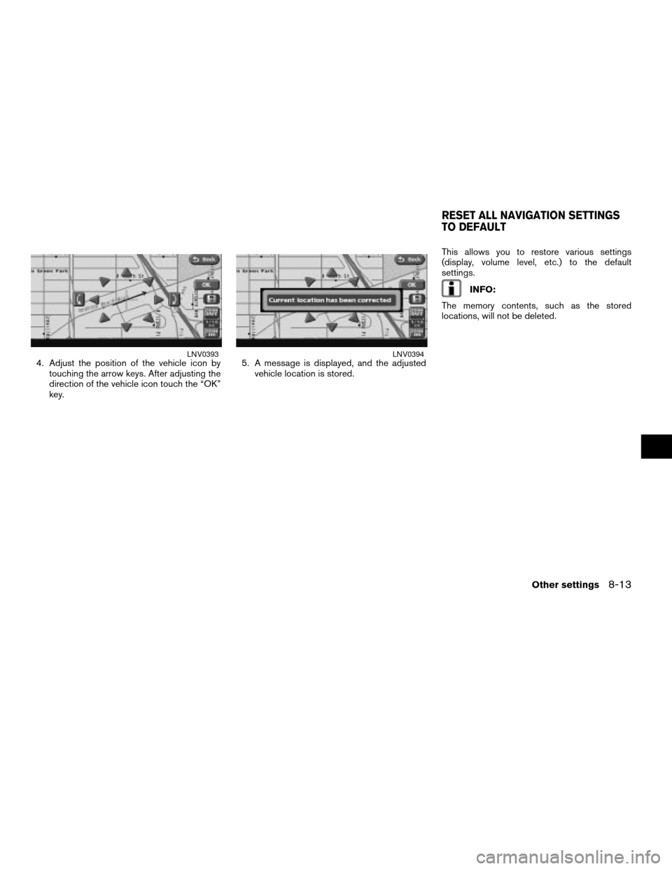
4. Adjust the position of the vehicle icon by
touching the arrow keys. After adjusting the
direction of the vehicle icon touch the “OK”
key.5. A message is displayed, and the adjusted
vehicle location is stored.This allows you to restore various settings
(display, volume level, etc.) to the default
settings.
INFO:
The memory contents, such as the stored
locations, will not be deleted.
LNV0393LNV0394
RESET ALL NAVIGATION SETTINGS
TO DEFAULT
Other settings8-13
ZREVIEW COPYÐ2007 Altima(alt)
Navigation System OMÐUSA_English(nna)
08/17/06Ðpattie
X
Page 188 of 240

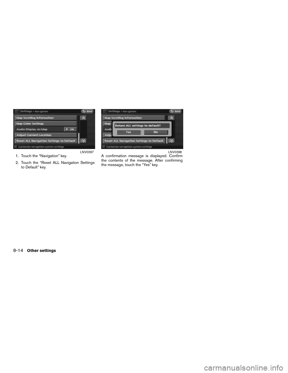
1. Touch the “Navigation” key.
2. Touch the “Reset ALL Navigation Settings
to Default” key.A confirmation message is displayed. Confirm
the contents of the message. After confirming
the message, touch the “Yes” key.LNV0397LNV0398
8-14Other settings
ZREVIEW COPYÐ2007 Altima(alt)
Navigation System OMÐUSA_English(nna)
08/17/06Ðpattie
X
Page 190 of 240

NISSAN Voice Recognition allows hands-free
operation of the navigation system and other
systems equipped on this vehicle, such as the
phone.
INFO:
cVoice recognition can be used to set destina-
tion street addresses that exist within the con-
tinental United States (48 states) . Street ad-
dresses in Canada, Alaska and Hawaii cannot
be entered using voice recognition.
USING THE SYSTEM
Initialization
When the ignition switch is pushed to the ON
position, NISSAN Voice Recognition is
initialized, which takes a few seconds. When
completed, the system is ready to accept voice
commands. If the
is pressed before the
initialization completes, the display will show the
message: “Phonetic data downloaded. Please
wait.”
BASIC VOICE CONTROL
Before starting
To get the best recognition performance out of
NISSAN Voice Recognition, observe the follow-
ing:
cThe interior of the vehicle should be as quiet
as possible. Close the windows to eliminate
the surrounding noises (traffic noise and vi-
bration sounds, etc.) , which may prevent the
system from correctly recognizing the voice
commands.
cWait until the tone sounds before speaking a
command. Otherwise, the command will not
be recognized properly.
cSpeak in a natural conversational voice with-
out pausing between words.
NISSAN VOICE RECOGNITION
9-2Voice recognition
ZREVIEW COPYÐ2007 Altima(alt)
Navigation System OMÐUSA_English(nna)
08/17/06Ðpattie
X
Page 195 of 240

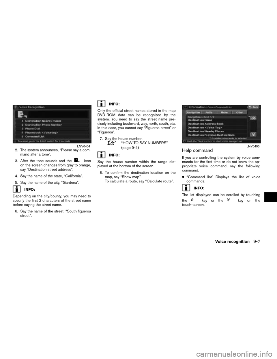
2. The system announces, “Please say a com-
mand after a tone”.
3. After the tone sounds and the
icon
on the screen changes from gray to orange,
say “Destination street address”.
4. Say the name of the state, “California”.
5. Say the name of the city, “Gardena”.
INFO:
Depending on the city/county, you may need to
specify the first 2 characters of the street name
before saying the street name.
6. Say the name of the street, “South figueroa
street”.
INFO:
Only the official street names stored in the map
DVD-ROM data can be recognized by the
system. You need to say the street name pre-
cisely including boulevard, way, north, south, etc.
In this case, you cannot say “Figueroa street” or
“Figueroa”.
7. Say the house number.
“HOW TO SAY NUMBERS”
(page 9-4)
INFO:
Say the house number within the range dis-
played at the bottom of the screen.
8. To confirm the destination location on the
map, say “Show map”.
To calculate a route, say “Calculate route”.Help command
If you are controlling the system by voice com-
mands for the first time or do not know the ap-
propriate voice command, say the following
command.
c“Command list” Displays the list of voice
commands.
INFO:
The list displayed can be scrolled by touching
the
key or thekey on the
touch-screen.
LNV0404LNV0405
Voice recognition9-7
ZREVIEW COPYÐ2007 Altima(alt)
Navigation System OMÐUSA_English(nna)
08/17/06Ðpattie
X
Page 196 of 240

Navigation commands
Navigation command list:
Command Action Other commands
Destination home Sets a route to your home that is stored in the Address Book. Route to home, Home
Destination address book Sets a route to a location stored in the Address Book. Address book
Destination
voicetag>Sets a route to a stored location that has the voicetag specified. Route to
Destination nearby
placesSets a route to a facility near the current vehicle location. Nearby places
Destination previous des-
tinationsSets a route to a previous destination. Previous destinations, Previous destination
Destination previous
starting pointSets a route to a previous starting point. Previous starting point
Destination phone num-
berSearches for a destination by the phone number specified, and sets a route.
Show nearby places Shows facility icons near the current vehicle location.
Show map Displays the current location map screen. Map
Show all POI icons Displays all POI icons on the map.
Hide all POI icons Hides all POI icons on the map.
Show gas station icons Displays all gas station icons near the current vehicle location.
Hide gas station icons Hides all gas station icons near the current vehicle location.
Show restaurant icons Displays all restaurant icons near the current vehicle location.
Hide restaurant icons Hides all restaurant icons near the current vehicle location.
Show ATM icons Displays all ATM icons near the current vehicle location.
9-8Voice recognition
ZREVIEW COPYÐ2007 Altima(alt)
Navigation System OMÐUSA_English(nna)
08/17/06Ðpattie
X
Page 197 of 240

Command Action Other commands
Hide ATM icons Hides all ATM icons near the current vehicle location.
Show rest area icons Displays all rest area icons near the current vehicle location.
Hide rest area icons Hides all rest area icons near the current vehicle location.
Show hotel icons Displays all hotel icons near the current vehicle location.
Hide hotel icons Hides all hotel icons near the current vehicle location.
*See manual for more
categories
“CATEGORY LIST” (page 9-11)
3D map Displays the map in Birdview™. Birdview
2D map Displays the map in Plan view. Plan view
North up Sets the orientation of the map to north up.
Heading up Sets the orientation of the map to heading up.
Zoom in Zooms the map in.
Zoom out Zooms the map out.
Zoom level <1 to 10> Changes the scale of the map.
Shortest time route Sets the route search condition to the Fastest Route.
Minimize freeways Sets the route search condition to the Minimize Freeway.
Shortest distance route Sets the route search condition to the Shortest Route.
Cancel route guidance Cancels the route setting. Cancel route
Recalculate route Recalculates a route. Recalculate
Voice guidance Turns on voice guidance. Guidance voice
Store location Stores a current location. Store current location
Repeat voice guidance Repeats voice guidance once. Voice repeat, repeat
Voice recognition9-9
ZREVIEW COPYÐ2007 Altima(alt)
Navigation System OMÐUSA_English(nna)
08/17/06Ðpattie
X
Page 198 of 240

Command Action Other commands
Address book play direc-
toryDisplays the Address Book. Play address book directory, Address book directory
Traffic Info. Sets the traffic information system.
9-10Voice recognition
ZREVIEW COPYÐ2007 Altima(alt)
Navigation System OMÐUSA_English(nna)
08/17/06Ðpattie
X
Page 201 of 240

10 General system information
Features of this navigation system..................10-2
Route guidance...............................10-2
Points of interest (POI) directory................10-2
Address book.................................10-2
Avoid area....................................10-2
XM traffic information..........................10-2
Automatic reroute.............................10-3
Detour.......................................10-3
Birdview™....................................10-3
Voice guidance................................10-3
Current vehicle location...........................10-4
Display of current vehicle location...............10-4
What is GPS (Global Positioning System)?.......10-4
Incorrect display of vehicle position..............10-6
Detailed map coverage areas (MCA) for the
navigation system.............................10-8
When a gray road is displayed on the map.......10-9Route calculation.................................10-9
Route guidance.................................10-11
Basics of voice guidance......................10-11
Directions provided and the distances to
guide points.................................10-11
Repeating voice guidance.....................10-13
Notes on voice guidance......................10-14
Map DVD-ROM.................................10-15
How to order map DVD-ROM updates..........10-15
About the map DVD-ROM.....................10-15
DVD-ROM drive location......................10-15
Disc replacement.............................10-16
How to handle the DVD-ROM.................10-17
How to handle the display........................10-17
Characteristics of a liquid crystal display........10-17
Maintenance of the display....................10-18
ZREVIEW COPYÐ2007 Altima(alt)
Navigation System OMÐUSA_English(nna)
08/17/06Ðpattie
X
Page 202 of 240

ROUTE GUIDANCE
The main features of the NISSAN Navigation
System are visual guidance and voice guidance
in selected map coverage areas. Utilizing a net-
work of GPS (Global Positioning System)
satellites, the NISSAN Navigation System tracks
your location on the map and navigates you to a
preferred location.
Once you set the destination in a map coverage
area, the NISSAN Navigation System will calcu-
late a route from your current location to your
destination. The real-time map display and turn-
by-turn voice guidance leads the driver along the
route.
These features can be especially helpful when
driving to unfamiliar locations.
The system may be unable to set a destination
and/or calculate a route when the destination is
outside the map coverage area. Additionally,
voice guidance may not be available if the desti-
nation is outside the map coverage area. For
more information on how to set a destination, re-
fer to section 4.
POINTS OF INTEREST (POI) DIREC-
TORY
The NISSAN Navigation System offers an exten-
sive Points of Interest (POI) directory in map
coverage areas. This directory includes a wide
variety of destinations ranging from gas stations,
ATMs, and restaurants to casinos, ski resorts,
shopping centers and businesses. By accessing
the Points of Interest directory, you can search
for addresses and phone numbers for a
destination, and just by pushing a button, the
NISSAN Navigation System will calculate a
route to the destination.
The POI directory has many uses. For example,
the directory can be sorted by the various types
of restaurants near your current location. If you
need an ATM or gas station, the NISSAN Navi-
gation System can navigate you to the closest
preferred location.
For more information on how to use the Points of
Interest directory, refer to section 4.
ADDRESS BOOK
The Address Book can store up to 100 locations
from map coverage areas into a personal
directory. This is especially useful for frequently
visited locations, such as clients, relatives and
friends. The Address Book function allows easyaccess to frequently visited locations when set-
ting them as your destination.
For more information on how to use the Address
Book, refer to section 6.
AVOID AREA
The Avoid Area function allows you to identify ar-
eas or freeways that you would like the NISSAN
Navigation System to avoid when calculating
routes. For example, if a freeway or area is al-
ways congested with traffic, you can set the
NISSAN Navigation System to calculate routes
that exclude that freeway or area.
For more information on the Avoid Area function,
refer to section 6.
XM TRAFFIC INFORMATION
The Traffic Information broadcast allows you to
avoid delays due to traffic incidents. Traffic jams,
roadwork, closed roads around your current
location, etc. are represented graphically on the
map by icons depicting the nature of the event.
Incidents on the route are automatically brought
to your attention when you approach them.
The Traffic Information feature gives you the op-
portunity to forecast traffic incidents, determine
how serious they are and, via the guidance
mode, allows you to detour around traffic
FEATURES OF THIS NAVIGATION
SYSTEM
10-2General system information
ZREVIEW COPYÐ2007 Altima(alt)
Navigation System OMÐUSA_English(nna)
08/17/06Ðpattie
X
Page 203 of 240

problems. For more information on the Traffic In-
formation feature, please refer to section 5.
AUTOMATIC REROUTE
If you deviate from the suggested route, the
NISSAN Navigation System will automatically
recalculate a new route to your destination.
For more information on the Automatic reroute
function, refer to section 5.
DETOUR
If you want to make a detour due to traffic
conditions, you can use the Detour function to
calculate an alternative route. The NISSAN Navi-
gation System can calculate a route using sec-
ondary roads that will return you to primary roads
after a specified number of miles.
For more information on the Detour function, re-
fer to section 5.
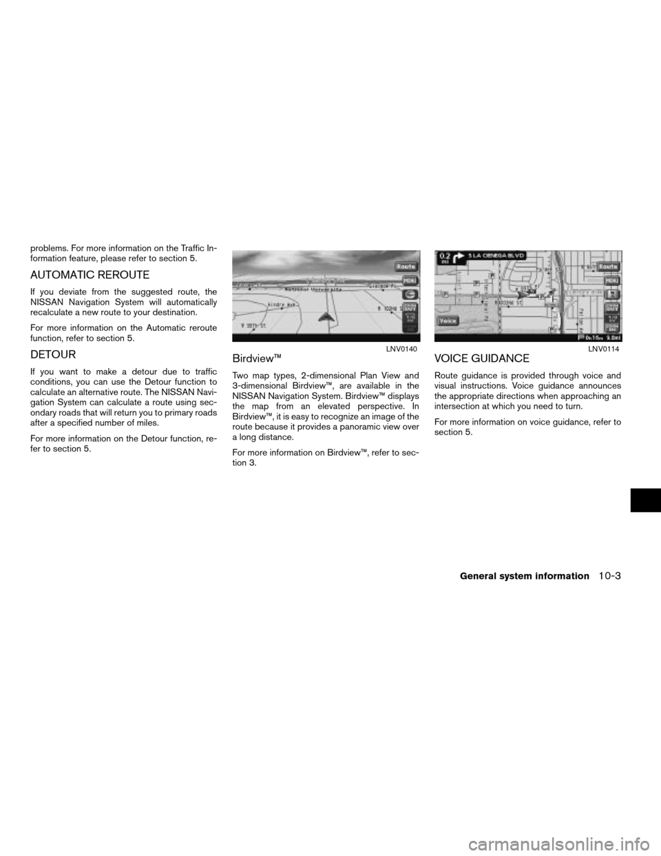
Birdview™
Two map types, 2-dimensional Plan View and
3-dimensional Birdview™, are available in the
NISSAN Navigation System. Birdview™ displays
the map from an elevated perspective. In
Birdview™, it is easy to recognize an image of the
route because it provides a panoramic view over
a long distance.
For more information on Birdview™, refer to sec-
tion 3.
VOICE GUIDANCE
Route guidance is provided through voice and
visual instructions. Voice guidance announces
the appropriate directions when approaching an
intersection at which you need to turn.
For more information on voice guidance, refer to
section 5.
LNV0140LNV0114
General system information10-3
ZREVIEW COPYÐ2007 Altima(alt)
Navigation System OMÐUSA_English(nna)
08/17/06Ðpattie
X