display NISSAN ALTIMA 2007 L32A / 4.G Navigation Manual
[x] Cancel search | Manufacturer: NISSAN, Model Year: 2007, Model line: ALTIMA, Model: NISSAN ALTIMA 2007 L32A / 4.GPages: 240, PDF Size: 3.29 MB
Page 53 of 240
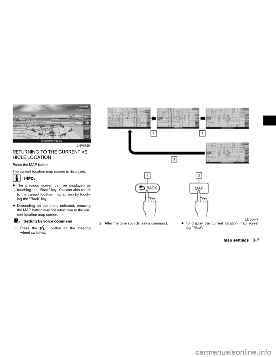
RETURNING TO THE CURRENT VE-
HICLE LOCATION
Press the MAP button.
The current location map screen is displayed.
INFO:
cThe previous screen can be displayed by
touching the “Back” key. You can also return
to the current location map screen by touch-
ing the “Back” key.
cDepending on the menu selected, pressing
the MAP button may not return you to the cur-
rent location map screen.
Setting by voice command
1. Press the
button on the steering
wheel switches.2. After the tone sounds, say a command.cTo display the current location map screen
say “Map”.
LNV0129
LNV0447
Map settings3-7
ZREVIEW COPYÐ2007 Altima(alt)
Navigation System OMÐUSA_English(nna)
08/17/06Ðpattie
X
Page 54 of 240
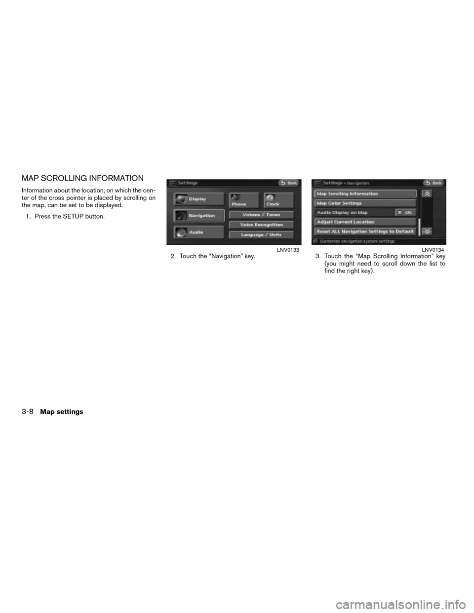
MAP SCROLLING INFORMATION
Information about the location, on which the cen-
ter of the cross pointer is placed by scrolling on
the map, can be set to be displayed.
1. Press the SETUP button.
2. Touch the “Navigation” key. 3. Touch the “Map Scrolling Information” key
(you might need to scroll down the list to
find the right key) .
LNV0133LNV0134
3-8Map settings
ZREVIEW COPYÐ2007 Altima(alt)
Navigation System OMÐUSA_English(nna)
08/17/06Ðpattie
X
Page 55 of 240
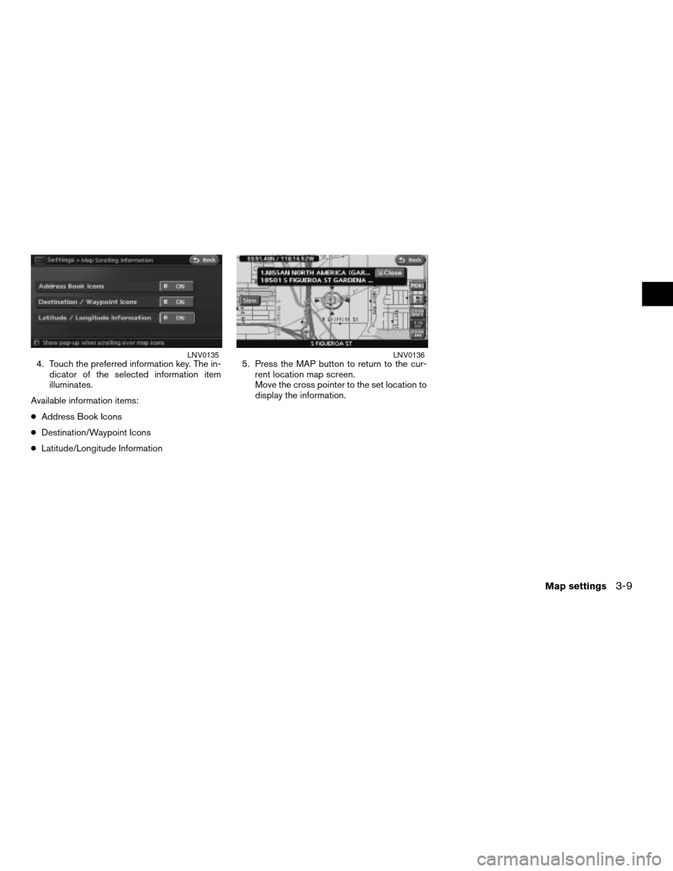
4. Touch the preferred information key. The in-
dicator of the selected information item
illuminates.
Available information items:
cAddress Book Icons
cDestination/Waypoint Icons
cLatitude/Longitude Information5. Press the MAP button to return to the cur-
rent location map screen.
Move the cross pointer to the set location to
display the information.LNV0135LNV0136
Map settings3-9
ZREVIEW COPYÐ2007 Altima(alt)
Navigation System OMÐUSA_English(nna)
08/17/06Ðpattie
X
Page 57 of 240
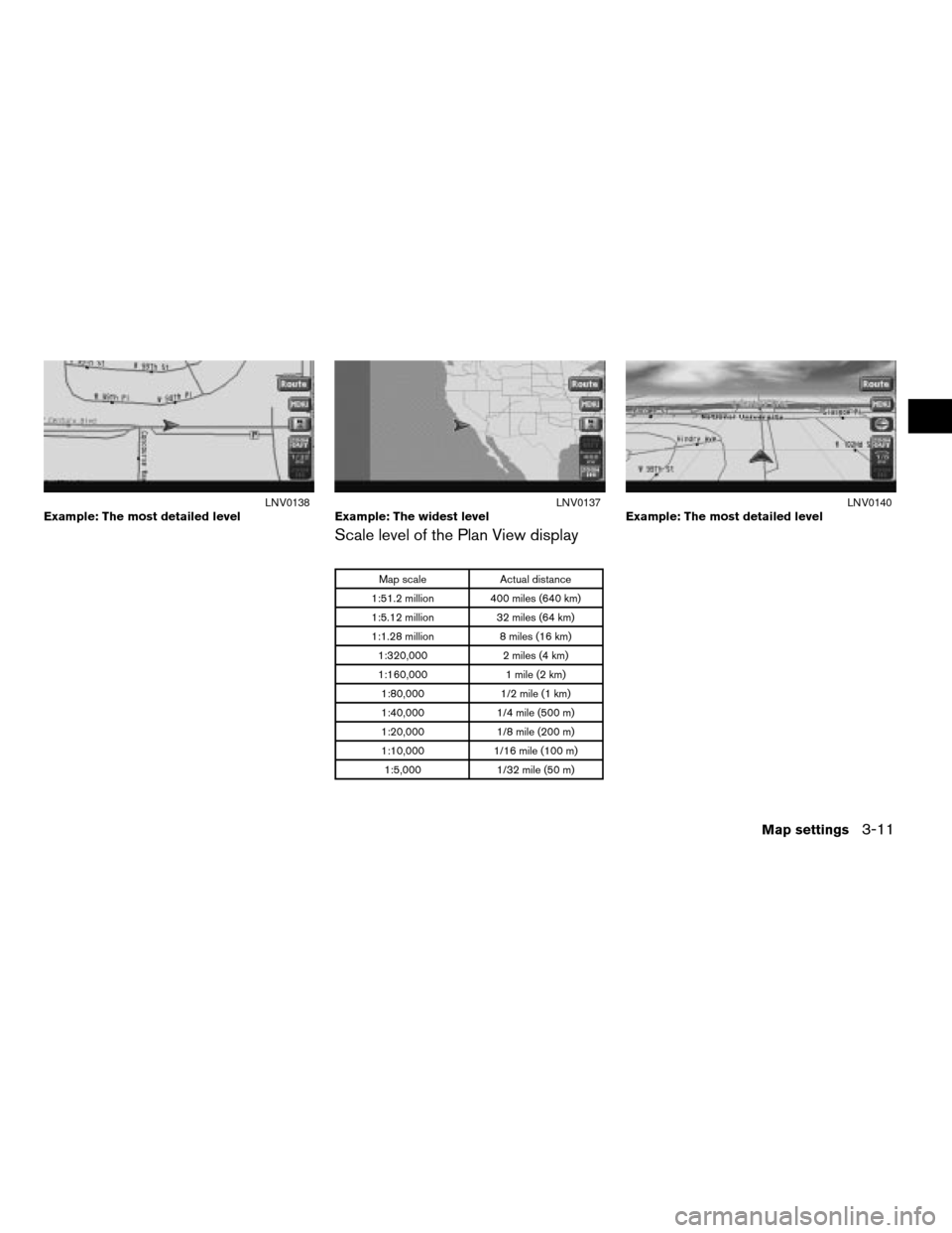
Scale level of the Plan View display
Map scale Actual distance
1:51.2 million 400 miles (640 km)
1:5.12 million 32 miles (64 km)
1:1.28 million 8 miles (16 km)
1:320,000 2 miles (4 km)
1:160,000 1 mile (2 km)
1:80,000 1/2 mile (1 km)
1:40,000 1/4 mile (500 m)
1:20,000 1/8 mile (200 m)
1:10,000 1/16 mile (100 m)
1:5,000 1/32 mile (50 m)
Example: The most detailed levelLNV0138Example: The widest levelLNV0137Example: The most detailed levelLNV0140
Map settings3-11
ZREVIEW COPYÐ2007 Altima(alt)
Navigation System OMÐUSA_English(nna)
08/17/06Ðpattie
X
Page 58 of 240
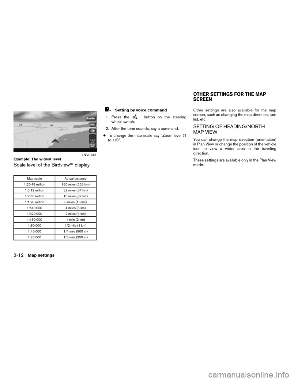
Scale level of the Birdview™ display
Map scale Actual distance
1:20.48 million 160 miles (256 km)
1:5.12 million 32 miles (64 km)
1:2.56 million 16 miles (32 km)
1:1.28 million 8 miles (16 km)
1:640,000 4 miles (8 km)
1:320,000 2 miles (4 km)
1:160,000 1 mile (2 km)
1:80,000 1/2 mile (1 km)
1:40,000 1/4 mile (500 m)
1:25,000 1/6 mile (250 m)
Setting by voice command
1. Press the
button on the steering
wheel switch.
2. After the tone sounds, say a command.
cTo change the map scale say “Zoom level (1
to 10)”.Other settings are also available for the map
screen, such as changing the map direction, turn
list, etc.
SETTING OF HEADING/NORTH
MAP VIEW
You can change the map direction (orientation)
in Plan View or change the position of the vehicle
icon to view a wider area in the traveling
direction.
These settings are available only in the Plan View
mode.
Example: The widest levelLNV0139
OTHER SETTINGS FOR THE MAP
SCREEN
3-12Map settings
ZREVIEW COPYÐ2007 Altima(alt)
Navigation System OMÐUSA_English(nna)
09/05/06Ðarosenma
X
Page 61 of 240
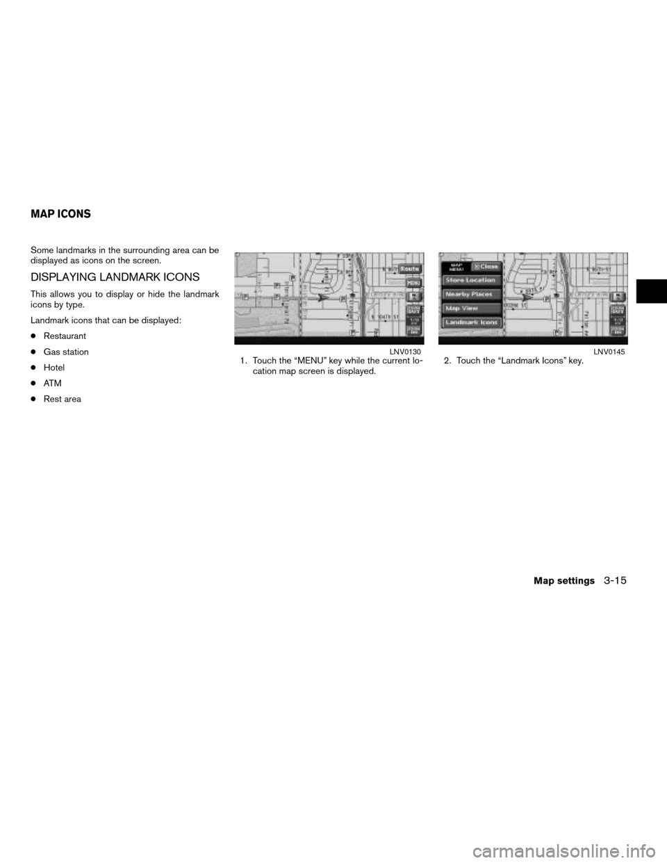
Some landmarks in the surrounding area can be
displayed as icons on the screen.
DISPLAYING LANDMARK ICONS
This allows you to display or hide the landmark
icons by type.
Landmark icons that can be displayed:
cRestaurant
cGas station
cHotel
cAT M
cRest area1. Touch the “MENU” key while the current lo-
cation map screen is displayed.2. Touch the “Landmark Icons” key.
LNV0130LNV0145
MAP ICONS
Map settings3-15
ZREVIEW COPYÐ2007 Altima(alt)
Navigation System OMÐUSA_English(nna)
08/17/06Ðpattie
X
Page 62 of 240
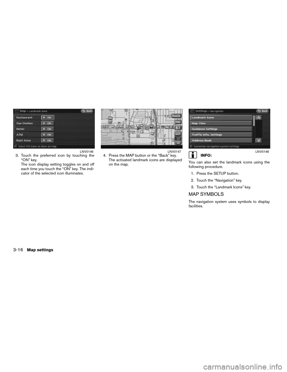
3. Touch the preferred icon by touching the
“ON” key.
The icon display setting toggles on and off
each time you touch the “ON” key. The indi-
cator of the selected icon illuminates.4. Press the MAP button or the “Back” key.
The activated landmark icons are displayed
on the map.INFO:
You can also set the landmark icons using the
following procedure.
1. Press the SETUP button.
2. Touch the “Navigation” key.
3. Touch the “Landmark Icons” key.
MAP SYMBOLS
The navigation system uses symbols to display
facilities.
LNV0146LNV0147LNV0148
3-16Map settings
ZREVIEW COPYÐ2007 Altima(alt)
Navigation System OMÐUSA_English(nna)
08/17/06Ðpattie
X
Page 70 of 240
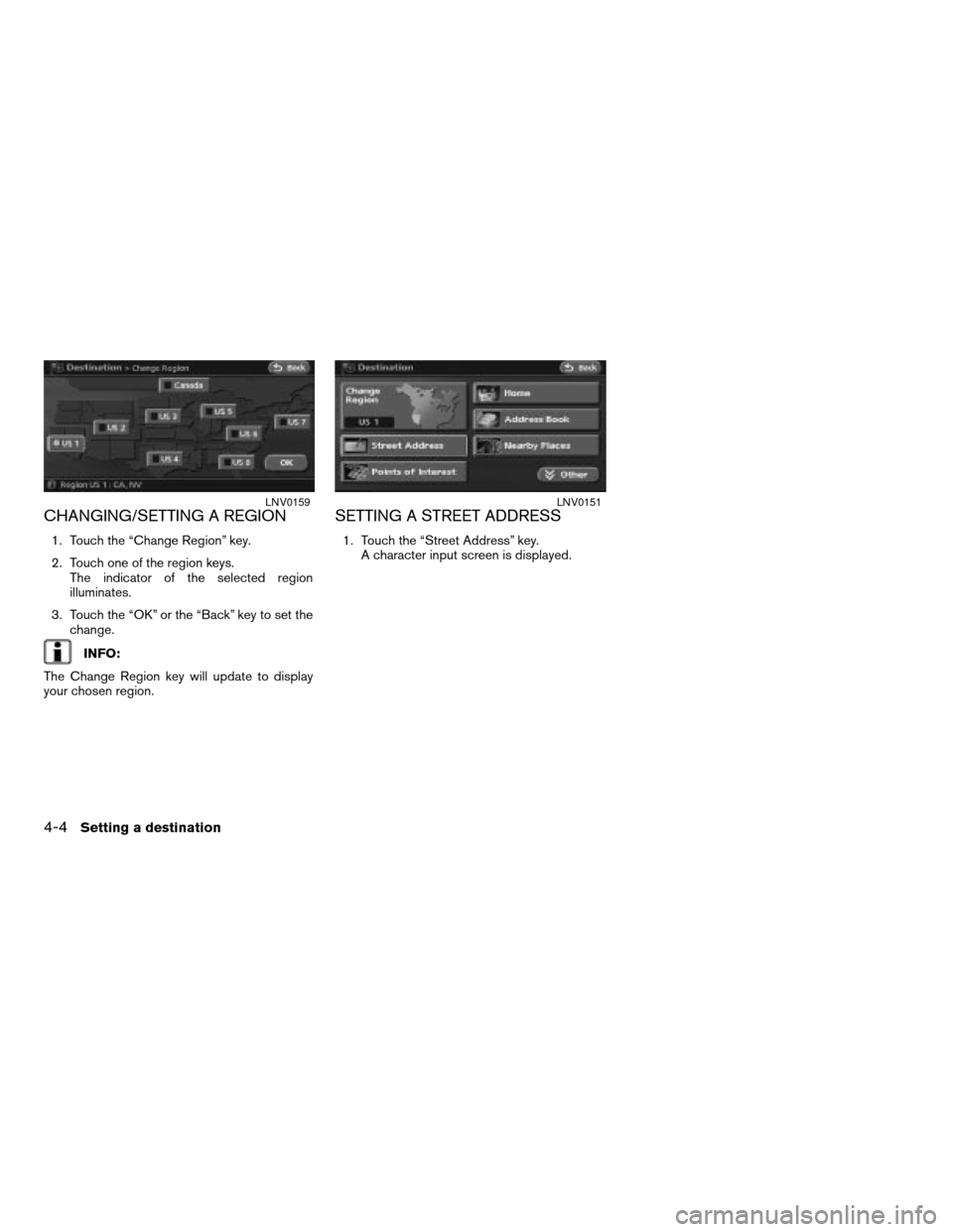
CHANGING/SETTING A REGION
1. Touch the “Change Region” key.
2. Touch one of the region keys.
The indicator of the selected region
illuminates.
3. Touch the “OK” or the “Back” key to set the
change.
INFO:
The Change Region key will update to display
your chosen region.
SETTING A STREET ADDRESS
1. Touch the “Street Address” key.
A character input screen is displayed.
LNV0159LNV0151
4-4Setting a destination
ZREVIEW COPYÐ2007 Altima(alt)
Navigation System OMÐUSA_English(nna)
08/17/06Ðpattie
X
Page 71 of 240
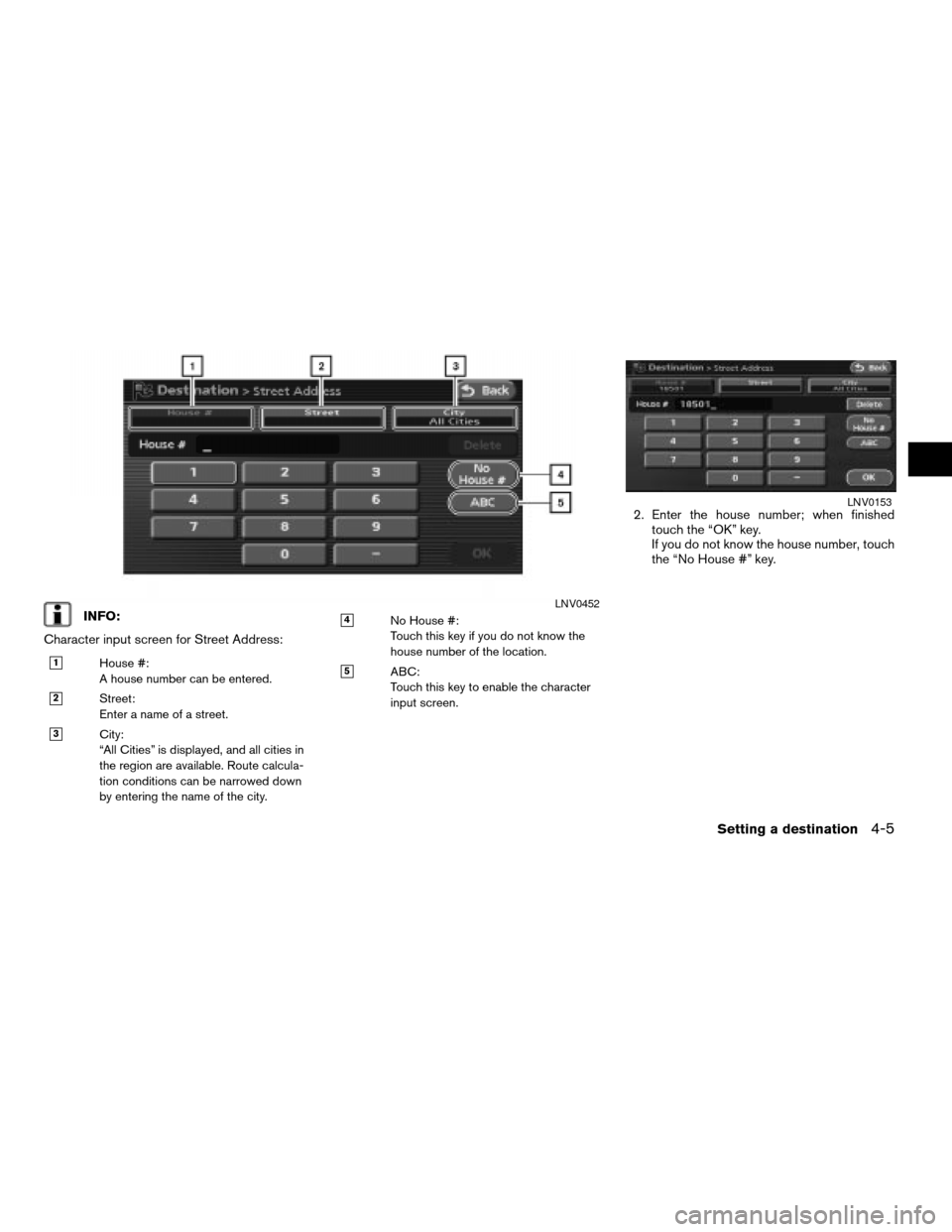
INFO:
Character input screen for Street Address:
h1House #:
A house number can be entered.
h2Street:
Enter a name of a street.
h3City:
“All Cities” is displayed, and all cities in
the region are available. Route calcula-
tion conditions can be narrowed down
by entering the name of the city.
h4No House #:
Touch this key if you do not know the
house number of the location.
h5ABC:
Touch this key to enable the character
input screen.
2. Enter the house number; when finished
touch the “OK” key.
If you do not know the house number, touch
the “No House #” key.
LNV0452
LNV0153
Setting a destination4-5
ZREVIEW COPYÐ2007 Altima(alt)
Navigation System OMÐUSA_English(nna)
08/17/06Ðpattie
X
Page 72 of 240
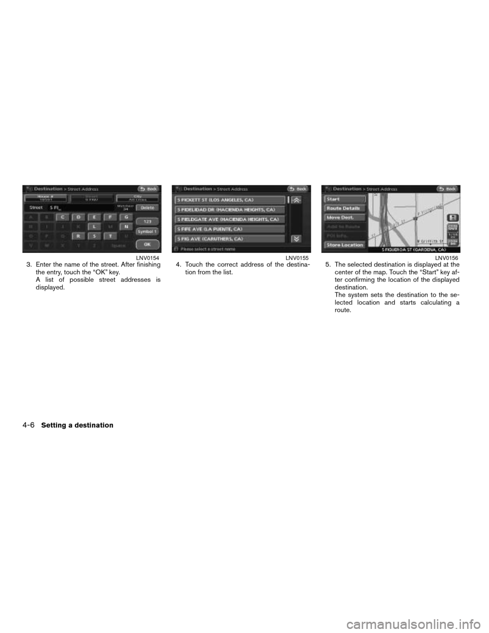
3. Enter the name of the street. After finishing
the entry, touch the “OK” key.
A list of possible street addresses is
displayed.4. Touch the correct address of the destina-
tion from the list.5. The selected destination is displayed at the
center of the map. Touch the “Start” key af-
ter confirming the location of the displayed
destination.
The system sets the destination to the se-
lected location and starts calculating a
route.LNV0154LNV0155LNV0156
4-6Setting a destination
ZREVIEW COPYÐ2007 Altima(alt)
Navigation System OMÐUSA_English(nna)
08/17/06Ðpattie
X