display CADILLAC ESCALADE ESV 2009 Owners Manual
[x] Cancel search | Manufacturer: CADILLAC, Model Year: 2009, Model line: ESCALADE ESV, Model: CADILLAC ESCALADE ESV 2009Pages: 602, PDF Size: 5.18 MB
Page 304 of 602

Map Scales +/ − (Zoom In/Zoom Out): Touch the zoom in or out
screen buttons or the scale on the bar to change the
level of map detail. The scale appears on the screen
once the zoom in or zoom out screen buttons are
selected. The system adjusts the map accordingly.
The scale of a map can range from 1/32 mi. (50 m) to
256 mi. (400 km). To change English or metric, see
DIC Operation and Displays on page 3-48 for more
information.
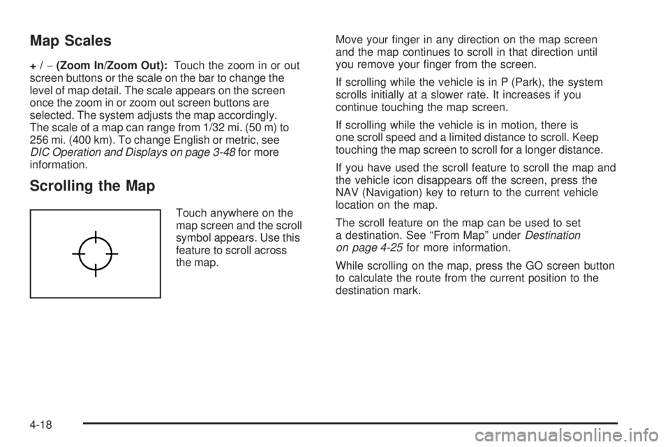
Scrolling the Map Touch anywhere on the
map screen and the scroll
symbol appears. Use this
feature to scroll across
the map. Move your �nger in any direction on the map screen
and the map continues to scroll in that direction until
you remove your �nger from the screen.
If scrolling while the vehicle is in P (Park), the system
scrolls initially at a slower rate. It increases if you
continue touching the map screen.
If scrolling while the vehicle is in motion, there is
one scroll speed and a limited distance to scroll. Keep
touching the map screen to scroll for a longer distance.
If you have used the scroll feature to scroll the map and
the vehicle icon disappears off the screen, press the
NAV (Navigation) key to return to the current vehicle
location on the map.
The scroll feature on the map can be used to set
a destination. See “From Map” under Destination
on page 4-25 for more information.
While scrolling on the map, press the GO screen button
to calculate the route from the current position to the
destination mark.
4-18
Page 305 of 602

Symbols The following symbols are the most common symbols
that appear on a map screen.
The vehicle is shown as
this symbol. It indicates the
current position and the
direction the vehicle is
traveling on the map.
The destination symbol
appears on the map,
after a route has been
planned, marking the
�nal destination. The stopover symbol
displays on the map after
a stopover has been
added to the route.
The stopover symbols are numbered one through three,
depending on how many stopovers have been set.
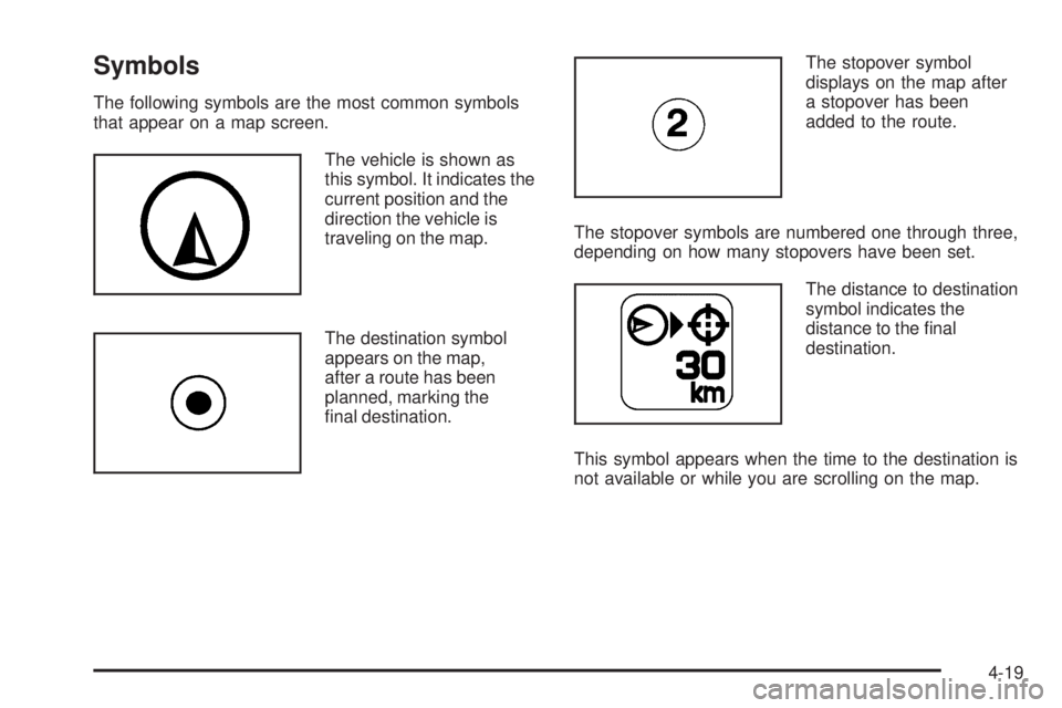
The distance to destination
symbol indicates the
distance to the �nal
destination.
This symbol appears when the time to the destination is
not available or while you are scrolling on the map.
4-19
Page 307 of 602

Three-dimensional (3–D) view mode changes the
appearance of the map display to a road level view.
The No GPS symbol
appears when the
vehicle is acquiring or
not receiving a Global
Positioning System (GPS)
satellite signal.
See Global Positioning System (GPS) on page 4-59 for
more information.
Select the Mark screen
button to store the location
on the screen in the
address book.
The system automatically stores the point in the
address book. See “Adding Destinations to the
Address Book” under Destination on page 4-25
for more information. Displaying Points of Interest (POI) on the
Map Screen Select the POI screen
button to display or delete
POI icons from the map.
Displaying POI icons on the map shows where POIs
(e.g. restaurants, gas stations, etc.) are located.
This screen appears after selecting the POI screen
button.
4-21
Page 308 of 602

1. Select one of the POI categories to display the POI
icon at the top of the map screen. Select the POI
category again to delete the POI icon.
2. Up to �ve categories can display on the map
screen.
3. Press the Show POI screen button to add more
POI icons.
More: Select to view more POI categories. POI Close to:
1. Once a category has been selected, touch this
button to display the list of available POIs for the
selected POI category. The list provides the POI
icon, the name, the direction, and the distance to
the POI from the vehicle’s current position.
2. Use the scroll arrows to move up and down the list.
3. Use the sorting screen buttons: Dist (distance),
Icon, Name, and on Route as needed.
4-22
Page 309 of 602

Go: Select this screen button, next to the desired POI,
to make this POI a destination or a stopover.
Select a POI name to receive information about the
POI. From this screen you can select: Address Book,
Go, Map, or Call (if Bluetooth ®
or OnStar ®
personal
calling is activated).
Address Book: Press to add this POI to the address
book. See “Nav” under Configure Menu on page 4-43
for information on editing address book entries.
Go: Select to make this POI a destination or a stopover.
Map: Select to display the map showing the location
of the POI.
Call: Select to dial the phone number using your
Bluetooth ®
phone (if “paired” with the vehicle) or the
OnStar HandsFree Calling system. For more information
about Bluetooth calling, see Bluetooth ®
on page 3-75 .
For more information about OnStar HandsFree
calling, see the OnStar Owner Guide.
OK: Select to display the map screen.
Show POI: Select to display or remove the POI icons
from the map screen. List all Categories: Select to list all POIs sorted
alphabetically.
Delete: To delete a speci�c POI category, select the
category.
Clear All: Select this screen button to clear all selected
POI categories.
Driving on a Route When driving on a routed destination, the map screen
automatically displays the next maneuver.
The pop-up displays the
next maneuver direction
and the distance from it.
4-23
Page 310 of 602

When approximately 1/4 mi (400 m) from the next
maneuver, the screen displays the name and a detailed
view of it. 3–D Lane Guidance
Some major metropolitan areas may include a 3–D lane
guidance feature for highway exits and junctions.
This feature gives you an enhanced representation of the
exits and junctions on the route. Cities that include this
feature are New York, Los Angeles, Chicago, Detroit,
and San Francisco, and may also include Philadelphia,
Washington D.C., and other major highway junctions.
4-24
Page 311 of 602

Dual Mode This dual screen symbol
displays when the screen
is in dual mode.
Dual mode displays the route on half of the screen and
a maneuver or Interstate Exit list on the other half.
The Interstate Exit list advises of approaching exits.
Press this button to switch between dual screen and
full screen which displays the entire route.
Auto Reroute When a destination is set but is off the planned route,
the system automatically plans a new route and begins
to reroute. The new route is highlighted on the screen. Destination Press the DEST key to access the Destination Entry
screen. From this screen, you can select from several
options to plan a route by entering destination points.
To enter a destination, choose from one of the following
destination entry methods:
Address Entry
2 Address Entry: Enter either a city or street to
use the address entry destination method.
4-25
Page 312 of 602

To enter a destination by inputting the city name �rst:
1. Press the DEST hard key.
2. Select the
2 screen button.
3. Select the state/province screen button, if needed,
to change the current state or province. A list of
all of the available states and provinces appear.
Select the state or province. 4. Once a state or province has been selected the
City name category is automatically selected
for entry.
Enter the City Name or touch the Last 5 Cities
screen button.
The Last 5 Cities screen displays a list of the last
�ve city names that had been entered. Select a city
from the list and it appears in the City name area.
If using the alpha keyboard, �nish entering the
city name. If �ve or less names are available,
a list displays. If more than �ve are available,
the List screen button displays a number. This
number represents the number of available cities.
Select this button to view the list and select a city.
5. Once a city has been selected the Street name
category is automatically selected for entry.
Start entering the street name. If �ve or less names
are available, a list displays. If more than �ve are
available, the List screen button displays a number.
This number represents the number of available
streets. Select this button to view the list.
6. Once a street has been selected, press the
House # screen button to enter the house number.
The system displays the house number range
that is available for the street.
4-26
Page 313 of 602

7. Select the Go screen button. The map screen, with
the destination marked displays.
8. Select the route preference (Fastest, Shortest,
or Other). The system calculates and highlights
the route.
9. Select the Start Guidance screen button. The route
is now ready to be started.
See “Getting Started on Your Route” later in this
section for more information.
To enter a destination by entering the street name �rst:
1. Press the DEST hard key.
2. Select the
2 screen button.
3. Select the state/province screen button, if needed,
to change the current state or province. A list of
all of the available states and provinces appear.
Select the state or province.
4. Select the Street screen button and start entering
the street name or touch the Last 5 Streets screen
button.
If the street name is common, the city might need
to be entered �rst.
The Last 5 Streets screen displays a list of the last
�ve street names that had been entered. Select
a street from the list and it appears in the Street
name area. If using the alpha keyboard, �nish entering the
street name. If �ve or less names are available,
a list displays. If more than �ve are available,
the List screen button displays a number.
This number represents the number of available
streets. Select this button to view the list and
select a street.
5. Once a street has been selected, select the
House # screen button to enter the house number.
The system displays the house number range
that is available for the street.
6. Once the house number is selected, the city name
automatically populates. If there is more than one
city available for selection, a list of cities display.
Select the city.
7. Select the Go screen button. The map screen, with
the destination marked displays.
8. Select the route preference (Fastest, Shortest,
or Other). The system calculates and highlights
the route.
9. Select the Start Guidance screen button. The route
is now ready to be started.
See “Getting Started on Your Route” later in this
section for more information.
4-27
Page 314 of 602

To enter a destination by entering a cross street:
1. Press the DEST hard key.
2. Select the
2 screen button.
3. Select the state/province screen button, if needed,
to change the current state or province. A list of all
of the available states and provinces appear.
Select the state or province.
4. Select the Street screen button and start entering
the street name or touch the Last 5 Streets screen
button.
If the street name is common, the city might need
to be entered �rst.
The Last 5 Streets screen displays a list of the
last �ve street names that had been entered.
Select a street from the list and it appears in
the Street name area.
If using the alpha keyboard, �nish entering the
street name. If �ve or less names are available,
a list displays. If more than �ve are available,
the List screen button displays a number.
This number represents the number of available
streets. Select this button to view the list and
select a street. 5. Once a street has been selected, select the Cross
Street screen button and start entering the cross
street name. If �ve or less names are available,
a list displays. If more than �ve are available,
the List screen button displays a number.
This number represents the number of available
streets. Select this button to view the list and
select a street.
6. Select the Go screen button. The map screen, with
the destination marked displays.
7. Select the route preference (Fastest, Shortest,
or Other). The system calculates and highlights
the route.
8. Select the Start Guidance screen button. The route
is now ready to be started.
See “Getting Started on Your Route” later in this
section for more information.
4-28