MERCEDES-BENZ S-Class 2014 W222 Comand Manual
Manufacturer: MERCEDES-BENZ, Model Year: 2014, Model line: S-Class, Model: MERCEDES-BENZ S-Class 2014 W222Pages: 278, PDF Size: 6.65 MB
Page 111 of 278
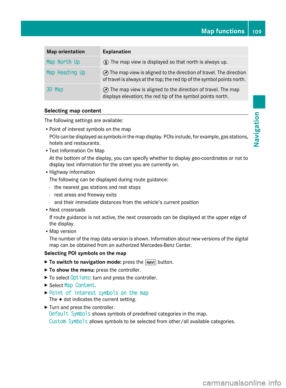
Map orientation Explanation
Map North Up
Map North Up 005B
The map view is displayed so that north is always up. Map Heading Up
Map Heading Up ¤
The map view is aligned to the direction of travel. The direction
of travel is always at the top; the red tip of the symbol points north. 3D Map
3D Map ¤
The map view is aligned to the direction of travel. The map
displays elevation; the red tip of the symbol points north. Selecting map content
The following settings are available:
R
Point of interest symbols on the map
POIs can be displayed as symbols in the map display. POIs include, for example, gas stations,
hotels and restaurants.
R Text Information On Map
At the bottom of the display, you can specify whether to display geo-coordinates or not to
display text information for the street you are currently on.
R Highway information
The following can be displayed during route guidance:
- the nearest gas stations and rest stops
- rest areas and freeway exits
- and their immediate distances from the vehicle's current position
R Next crossroads
If route guidance is not active, the next crossroads can be displayed at the upper edge of
the display.
R Map version
The number of the map data version is shown. Information about new versions of the digital
map can be obtained from an authorized Mercedes-Benz Center.
Selecting POI symbols on the map
X To switch to navigation mode: press the00CBbutton.
X To show the menu: press the controller.
X To select Options
Options : turn and press the controller.
X Select Map Content Map Content .
X Point of interest symbols on the map
Point of interest symbols on the map
The 003Bdot indicates the current setting.
X Turn and press the controller.
Default Symbols Default Symbols shows symbols of predefined categories in the map.
Custom Symbols
Custom Symbols allows symbols to be selected from other/all available categories. Map functions
109Navigation Z
Page 112 of 278
X
Turn and press the controller.
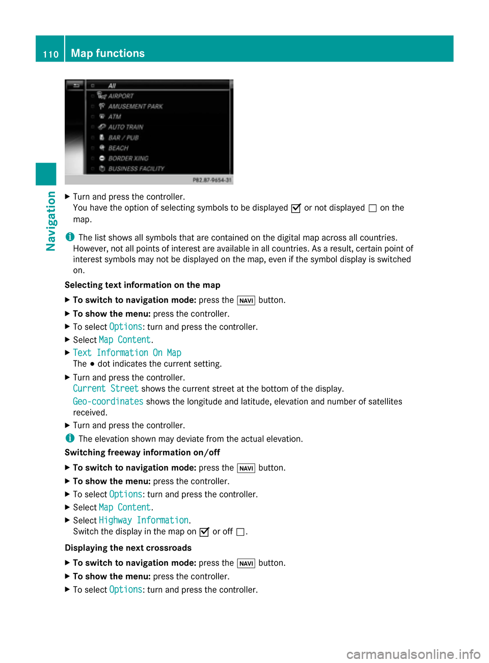
You have the option of selecting symbols to be displayed 0073or not displayed 0053on the
map.
i The list shows all symbols that are contained on the digital map across all countries.
However, not all points of interest are available in all countries. As a result, certain point of
interest symbols may not be displayed on the map, even if the symbol display is switched
on.
Selecting text information on the map
X To switch to navigation mode: press the00CBbutton.
X To show the menu: press the controller.
X To select Options
Options: turn and press the controller.
X Select Map Content
Map Content.
X Text Information On Map Text Information On Map
The 003Bdot indicates the current setting.
X Turn and press the controller.
Current Street
Current Street shows the current street at the bottom of the display.
Geo-coordinates
Geo-coordinates shows the longitude and latitude, elevation and number of satellites
received.
X Turn and press the controller.
i The elevation shown may deviate from the actual elevation.
Switching freeway information on/off
X To switch to navigation mode: press the00CBbutton.
X To show the menu: press the controller.
X To select Options
Options: turn and press the controller.
X Select Map Content
Map Content.
X Select Highway Information Highway Information.
Switch the display in the map on 0073or off 0053.
Displaying the next crossroads
X To switch to navigation mode: press the00CBbutton.
X To show the menu: press the controller.
X To select Options
Options: turn and press the controller. 110
Map functionsNavigation
Page 113 of 278
X
Select Map Content
Map Content.
X Select Next Intersecting Street
Next Intersecting Street .
Switch the display in the map on 0073or off 0053.
Showing the map version
X To switch to navigation mode: press the00CBbutton.
X To show the menu: press the controller.
X To select Options
Options: turn and press the controller.
X Select Map Content
Map Content.
X Select Map Version
Map Version.
Information on the current map version is shown.
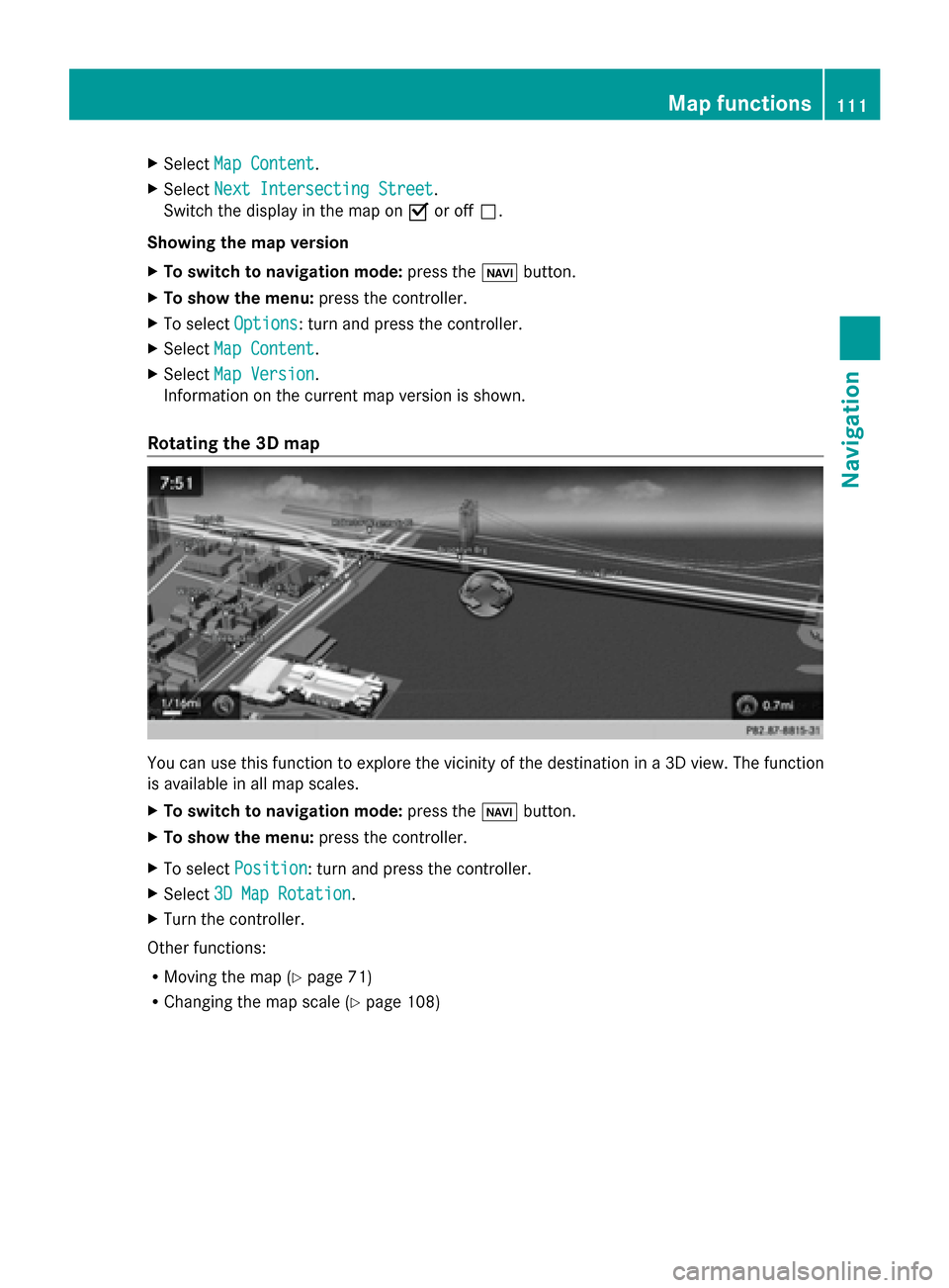
Rotating the 3D map You can use this function to explore the vicinity of the destination in a 3D view. The function
is available in all map scales.
X To switch to navigation mode: press the00BEbutton.
X To show the menu: press the controller.
X To select Position
Position: turn and press the controller.
X Select 3D Map Rotation
3D Map Rotation.
X Turn the controller.
Other functions:
R Moving the map (Y page 71)
R Changing the map scale (Y page 108) Map functions
111Navigation Z
Page 114 of 278
Map display
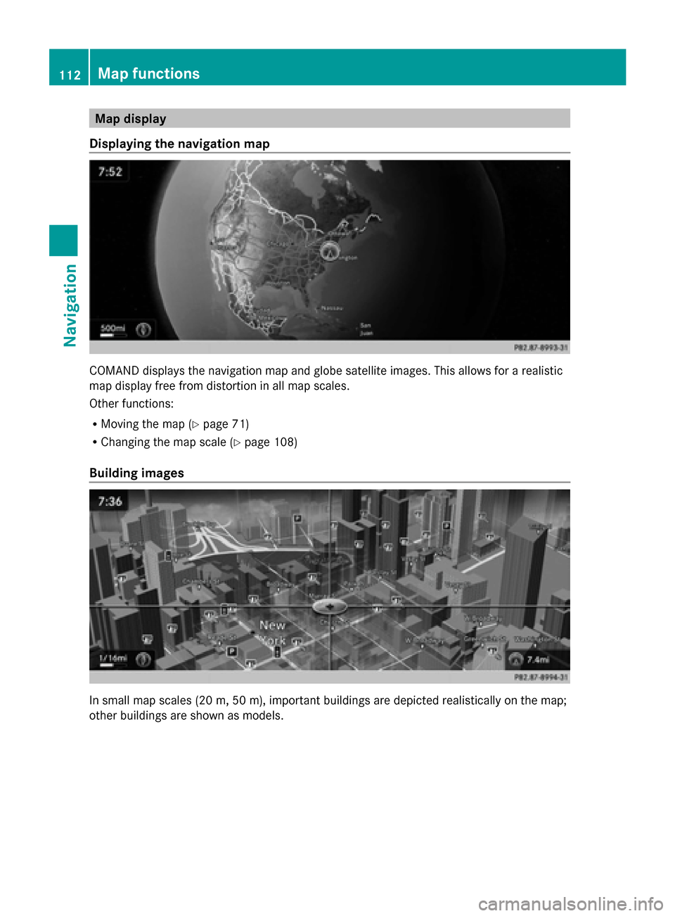
Displaying the navigation map COMAND displays the navigation map and globe satellite images. This allows for a realistic
map display free from distortion in all map scales.
Other functions:
R Moving the map (Y page 71)
R Changing the map scale (Y page 108)
Building images In small map scales (20 m, 50 m), important buildings are depicted realistically on the map;
other buildings are shown as models. 112
Map functionsNavigation
Page 115 of 278
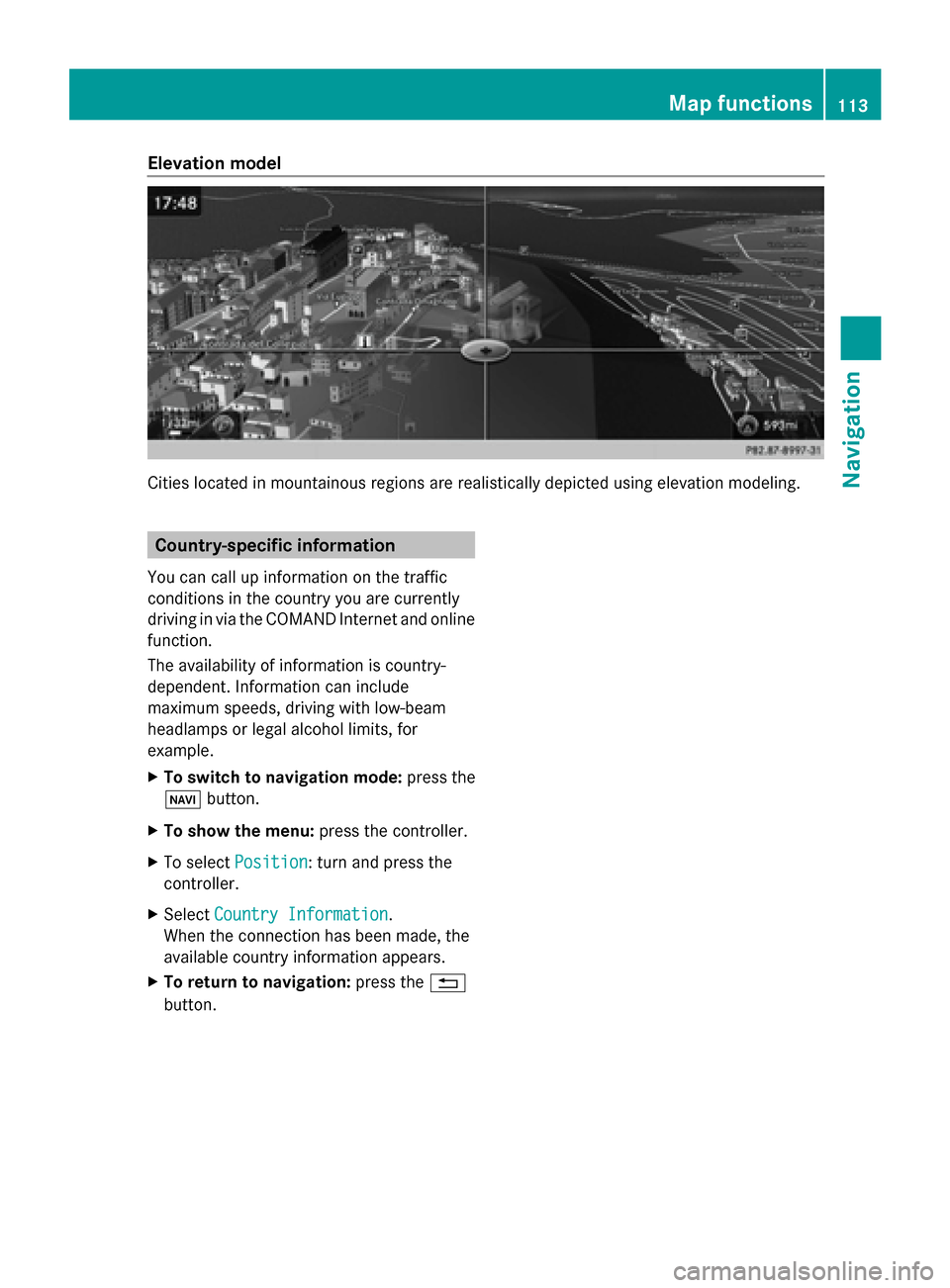
Elevation model
Cities located in mountainous regions are realistically depicted using elevation modeling.
Country-specific information
You can call up information on the traffic
conditions in the country you are currently
driving in via the COMAND Internet and online
function.
The availability of information is country-
dependent. Information can include
maximum speeds, driving with low-beam
headlamps or legal alcohol limits, for
example.
X To switch to navigation mode: press the
00BE button.
X To show the menu: press the controller.
X To select Position
Position: turn and press the
controller.
X Select Country Information
Country Information.
When the connection has been made, the
available country information appears.
X To return to navigation: press the0038
button. Map functions
113Navigation Z
Page 116 of 278
Avoiding an area
General information COMAND enables you to avoid areas you do not wish to drive through.
If you activate or deactivate a route block while route guidance is active, COMAND will
calculate a new route. If you activate or deactivate a route block while route guidance is
inactive, COMAND will use the new setting for the next route guidance.
The calculated route may contain an area to be avoided if the destination is in such an area.
i Highways within blocked areas are always taken into consideration in the route calculation.
Avoiding a new area X
To switch to navigation mode: press the00CBbutton.
X To show the menu: press the controller.
X To select Options
Options: turn and press the controller.
X Select Route Settings
Route Settings.
X Select Avoid/Use Options Avoid/Use Options.
X Select Avoid Area
Avoid Area.
X Select Avoid New Area
Avoid New Area.
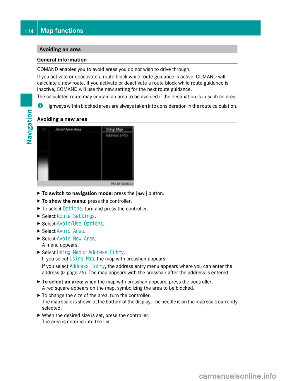
A menu appears.
X Select Using Map
Using Map orAddress Entry
Address Entry.
If you select Using Map
Using Map , the map with crosshair appears.
If you select Address Entry
Address Entry, the address entry menu appears where you can enter the
address ( Ypage 75). The map appears with the crosshair after the address is entered.
X To select an area: when the map with crosshair appears, press the controller.
A red square appears on the map, symbolizing the area to be blocked.
X To change the size of the area, turn the controller.
The map scale is shown at the bottom of the display. The needle is on the map scale currently
selected.
X When the desired size is set, press the controller.
The area is entered into the list. 114
Map functionsNavigation
Page 117 of 278
Avoiding an area: functions
X
To switch to navigation mode: press the00CBbutton.
X To show the menu: press the controller.
X To select Options
Options: turn and press the controller.
X Select Route Settings
Route Settings.
X Select Avoid/Use Options
Avoid/Use Options.
X Select Avoid Area
Avoid Area.
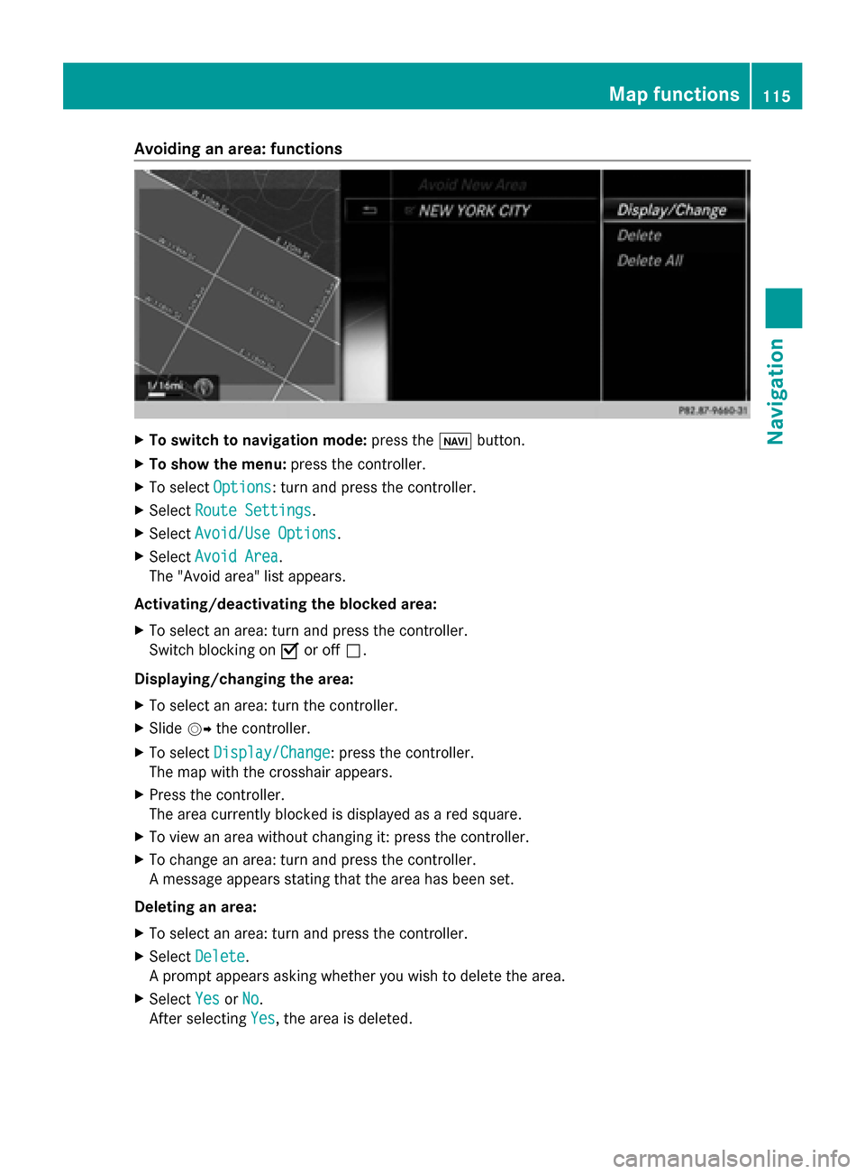
The "Avoid area" list appears.
Activating/deactivating the blocked area:
X To select an area: turn and press the controller.
Switch blocking on 0073or off 0053.
Displaying/changing the area:
X To select an area: turn the controller.
X Slide 00520096the controller.
X To select Display/Change
Display/Change: press the controller.
The map with the crosshair appears.
X Press the controller.
The area currently blocked is displayed as a red square.
X To view an area without changing it: press the controller.
X To change an area: turn and press the controller.
A message appears stating that the area has been set.
Deleting an area:
X To select an area: turn and press the controller.
X Select Delete
Delete .
A prompt appears asking whether you wish to delete the area.
X Select Yes
Yes orNo No.
After selecting Yes
Yes, the area is deleted. Map functions
115Navigation Z
Page 118 of 278
Deleting all areas:
X
Slide 00520096and press the controller while the list is shown.
X Select Delete All Delete All .
A prompt appears asking whether you wish to delete all areas.
X Select Yes
Yes orNo
No.
After selecting Yes
Yes , all areas are deleted. SIRIUS XM service
Displaying SIRIUS XM service
information You can display the SIRIUS XM service
information.
X To switch to navigation mode: press the
00BE button.
X To show the menu: press the controller.
X To select Traffic
Traffic: turn the controller and
press to confirm.
X Select SIRIUS Service SIRIUS Service.
The window on the right half of the display
shows the telephone number of the
provider (SIRIUS XM) and the serial number
of your service module.
Registering for the SIRIUS XM traffic
report service X
Call the provider telephone number shown
on the COMAND display.
i You can also have the satellite service
activated online. To do so, visit the SIRIUS
XM Radio website at
http://www.sirius.com (USA).
Once the connection has been established:
X Follow the service employee's instructions.
The activation process may take up to ten
minutes.
If registration is not included when
purchasing the system, your credit card
details will be required to activate your
account. Updating the digital map
Introduction The digital maps generated by the map
software become outdated in the same way
as conventional road maps. Optimal route
guidance can only be provided by
the navigation system in conjunction with the
most up-to-date map software.
Information about new versions of the digital
map can be obtained from an authorized
Mercedes-Benz Center. You can have the
digital map updated there using a data
medium, or you can update it yourself. Navigation functions
Calling up the navigation system
menu
X
To switch to navigation mode: press the
00CB button.
X To show the menu: press the controller.
X Slide 00970052the controller twice.
Navi Navi is highlighted in the main function bar.
X Press the controller.
The navigation menu appears. 116
Navigation fun
ctionsNavigation
Page 119 of 278
X
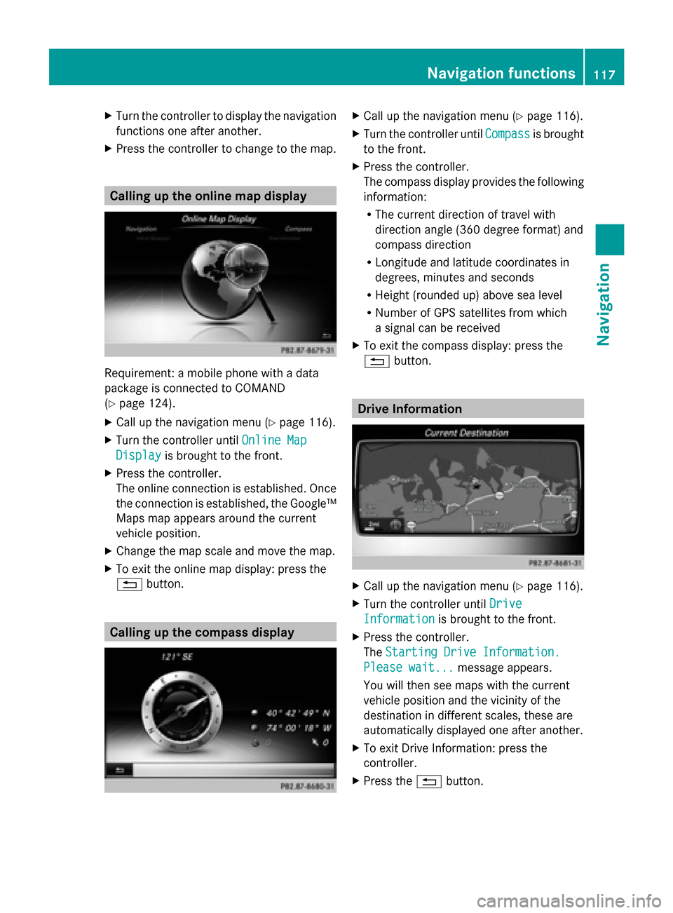
Turn the controller to display the navigation
functions one after another.
X Press the controller to change to the map. Calling up the online map display
Requirement: a mobile phone with a data
package is connected to COMAND
(Y page 124).
X Call up the navigation menu ( Ypage 116).
X Turn the controller until Online Map
Online Map
Display Display is brought to the front.
X Press the controller.
The online connection is established. Once
the connection is established, the Google™
Maps map appears around the current
vehicle position.
X Change the map scale and move the map.
X To exit the online map display: press the
0038 button. Calling up the compass display X
Call up the navigation menu ( Ypage 116).
X Turn the controller until Compass Compassis brought
to the front.
X Press the controller.
The compass display provides the following
information:
R
The current direction of travel with
direction angle (360 degree format) and
compass direction
R Longitude and latitude coordinates in
degrees, minutes and seconds
R Height (rounded up) above sea level
R Number of GPS satellites from which
a signal can be received
X To exit the compass display: press the
0038 button. Drive Information
X
Call up the navigation menu ( Ypage 116).
X Turn the controller until Drive Drive
Information
Information is brought to the front.
X Press the controller.
The Starting Drive Information. Starting Drive Information.
Please wait...
Please wait... message appears.
You will then see maps with the current
vehicle position and the vicinity of the
destination in different scales, these are
automatically displayed one after another.
X To exit Drive Information: press the
controller.
X Press the 0038button. Navigation functions
117Navigation Z
Page 120 of 278
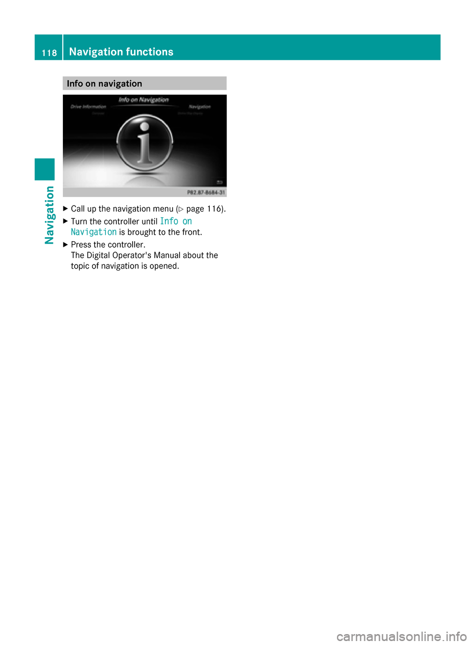
Info on navigation
X
Call up the navigation menu ( Ypage 116).
X Turn the controller until Info on
Info on
Navigation
Navigation is brought to the front.
X Press the controller.
The Digital Operator's Manual about the
topic of navigation is opened. 118
Navigation functionsNavigation